Bombing of Japanese cities; Balikpapan oil fields captured
June 28, 2015-July 4, 2015
Location: Government Documents
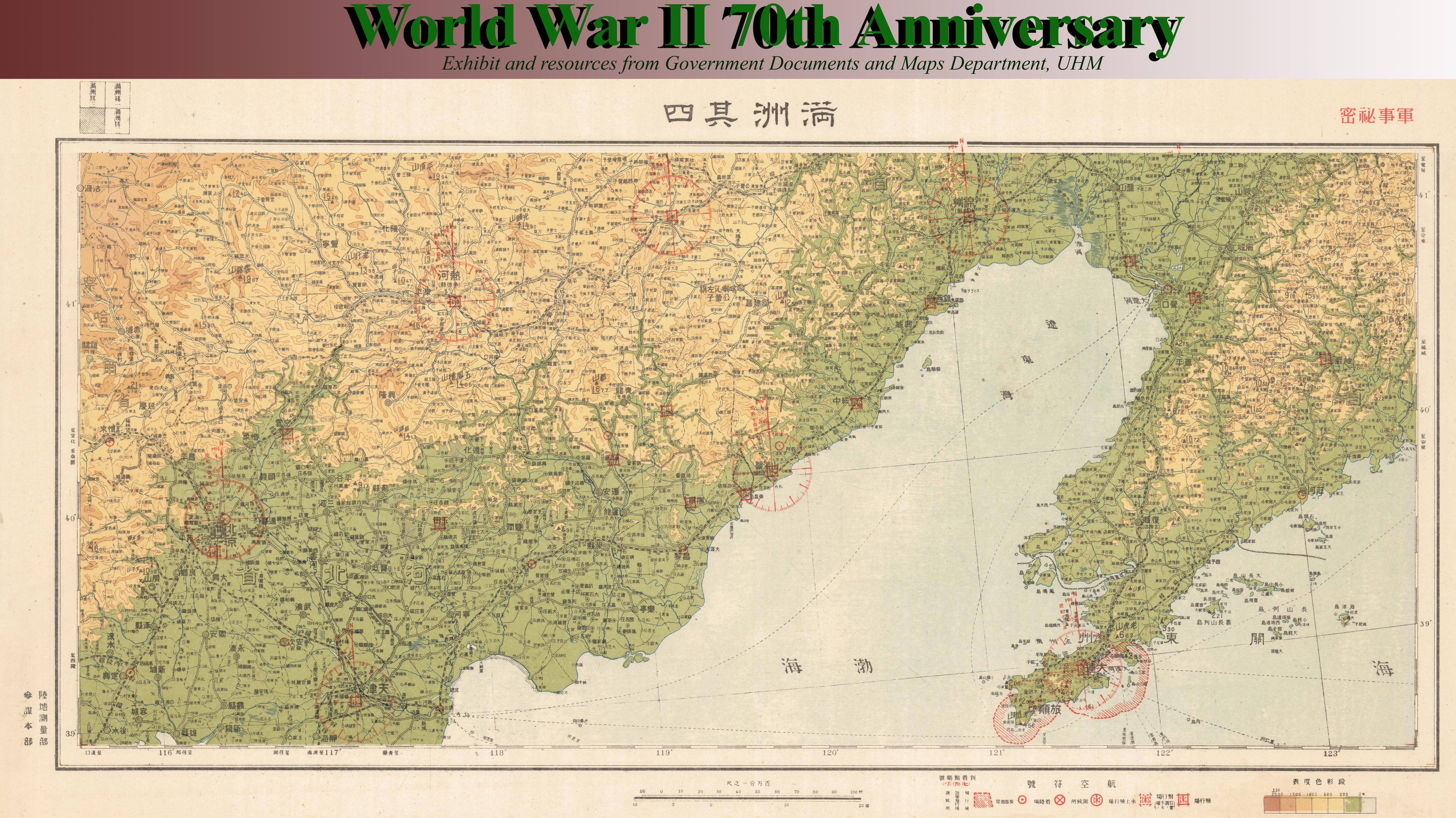
With the fall of Okinawa, the southernmost of the main islands of Japan--Kyushu--is within 350 miles of American forces. At a conference in Hawaii General MacArthur and Admiral Nimitz prepare for the invasion of Japan. They formulate a program for photographic and mapping operations, now possible with photo reconnaissance aircraft. Mapping requirements for the projected invasion campaigns include large-scale coverage of beach areas. This important order involves compiling from a) earlier maps by the Japanese Imperial Land Survey; b) seized Japanese consulate and private company files by the FBI after Pearl Harbor; c) research from other sources; and d) revised aerial photographs. With the help of many lithographic and drafting firms, the Army Map Service (AMS) reproduces and ships 27 million maps by the first week of July 1945. Understand the considerable challenges in furnishing detailed maps in overseas theaters of the war from The Corps of Engineers: Troops and Equipment, published by the Office of the Chief of Military History, Dept. of the Army.

Newsmap. Monday, 9 July, 1945: week of 26 June to 3 July, V-E Day + 9 weeks, 186th week of U.S. participation in the war. Maps show Allied advances in East Asia and Pacific. Verso: Size! Comparison map of the United States to the western Pacific with text.


- View this map in print in the Map Collection reading room, ground floor of UHM Hamilton Library, the week of 28 June 2015
- Texas Digital Library Texas Digital Library (http://digital.library.unt.edu/ark:/67531/metadc865/)
Notes: Newsmaps were color posters issued by the U.S. Army and the Government Printing Office (GPO) on Mondays during the World War II. They combine maps, images, and news from the previous week’s war effort.