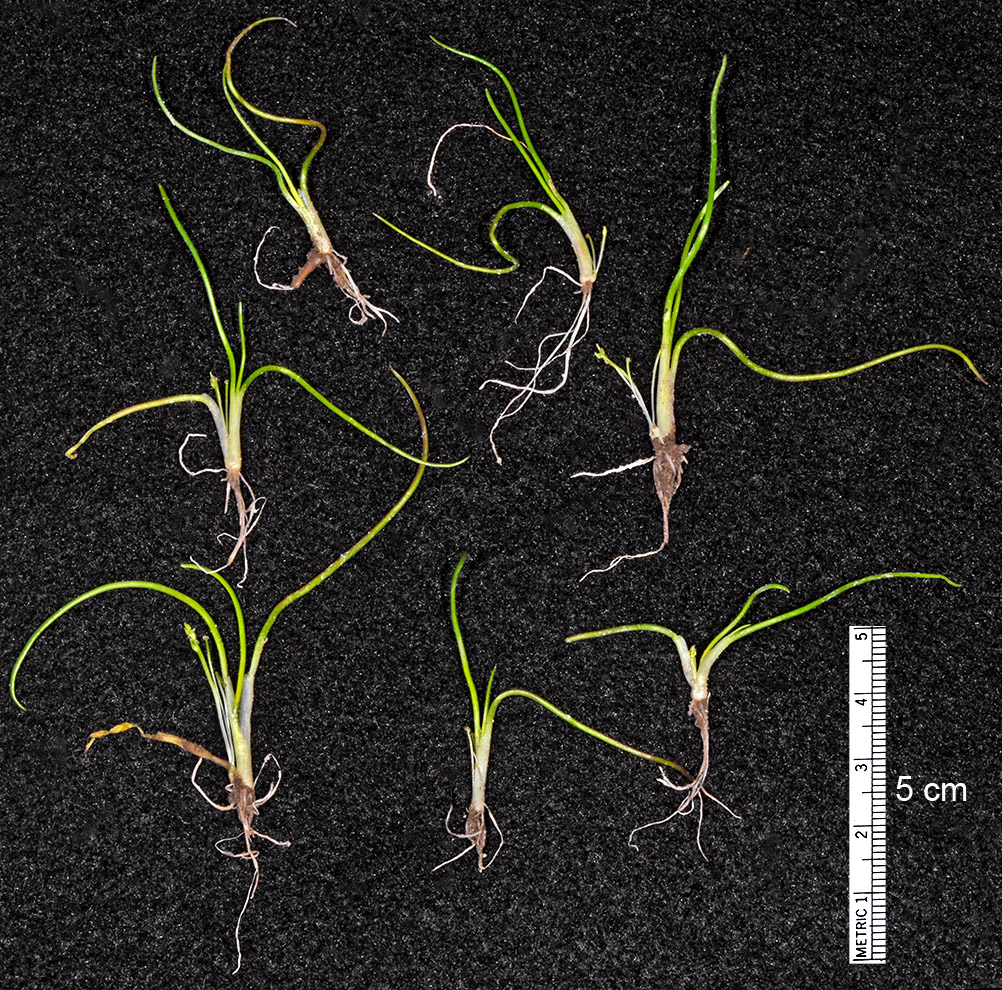
| NW shore of stock pond, 0.2 mi. SW of Hwy 20 at Hampton, on rd. to BLM Guard Station, 4424 ft. elev.,
N43.66958, W120.23804, Deschutes Co., OR, 5/27/2016 [G.D. Carr 1633] |
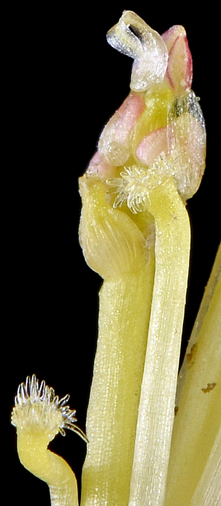
NW shore of stock pond, 0.2 mi. SW of Hwy 20 at Hampton, on rd. to BLM Guard Station, 4424 ft. elev.,
N43.66958, W120.23804, Deschutes Co., OR, 5/27/2016 [G.D. Carr 1633] |
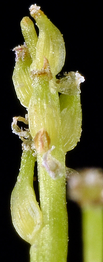
NW shore of stock pond, 0.2 mi. SW of Hwy 20 at Hampton, on rd. to BLM Guard Station, 4424 ft. elev.,
N43.66958, W120.23804, Deschutes Co., OR, 5/27/2016 [G.D. Carr 1633] |
NW shore of stock pond, 0.2 mi. SW of Hwy 20 at Hampton, on rd. to BLM Guard Station, 4424 ft. elev.,
N43.66958, W120.23804, Deschutes Co., OR, 5/27/2016 [G.D. Carr 1633] |
NW shore of stock pond, 0.2 mi. SW of Hwy 20 at Hampton, on rd. to BLM Guard Station, 4424 ft. elev.,
N43.66958, W120.23804, Deschutes Co., OR, 5/27/2016 [G.D. Carr 1633] |