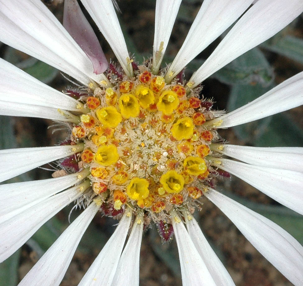
| Along Hwy 24, S of Vernita Bridge, N46.57543, W119.74518,
Benton Co., WASHINGTON, 5/28/2009, © Robert L. Carr |
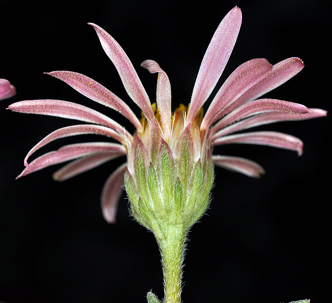
Gravel pit ca. 0.25 mi. W of the W edge of Beverly Trestle,
N46.83076, W119.95423, Kittitas Co., WASHINGTON, 5/1/2012, © Robert L.
Carr |
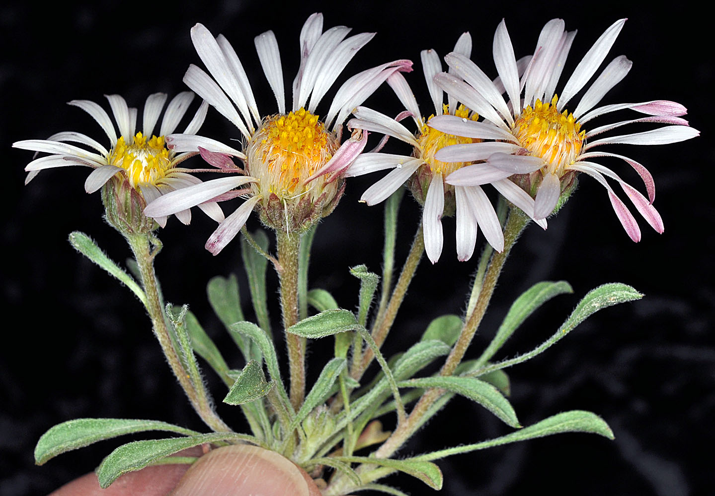
Gravel pit ca. 0.25 mi. W of the W edge of Beverly Trestle,
N46.83076, W119.95423, Kittitas Co., WASHINGTON, 5/1/2012, © Robert L.
Carr |
Gravel pit ca. 0.25 mi. W of the W edge of Beverly Trestle,
N46.83076, W119.95423, Kittitas Co., WASHINGTON, 5/1/2012, © Robert L.
Carr |