

| Oregon Flora Image Project | |
| Thuja plicata D. Don | western redcedar - native Cupressaceae |
Click on an image for a larger version. All images © Gerald D. Carr unless otherwise noted.
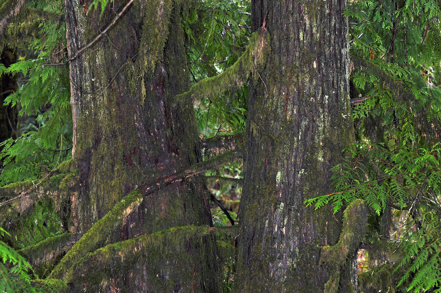
| Woods Creek Rd., ca. 5.5 mi. W of jct. with Hwy 20, ca. 8 mi. W of Philomath, ca. 1050 ft. elev., Benton Co., OR, 1/18/2010 | Woods Creek Rd., ca. 5.5 mi. W of jct. with Hwy 20, ca. 8 mi. W of Philomath, ca. 1050 ft. elev., Benton Co., OR, 1/18/2010 | Woods Creek Rd., ca. 5.5 mi. W of jct. with Hwy 20, ca. 8 mi. W of Philomath, ca. 1050 ft. elev., Benton Co., OR, 1/18/2010 |
|
|
|
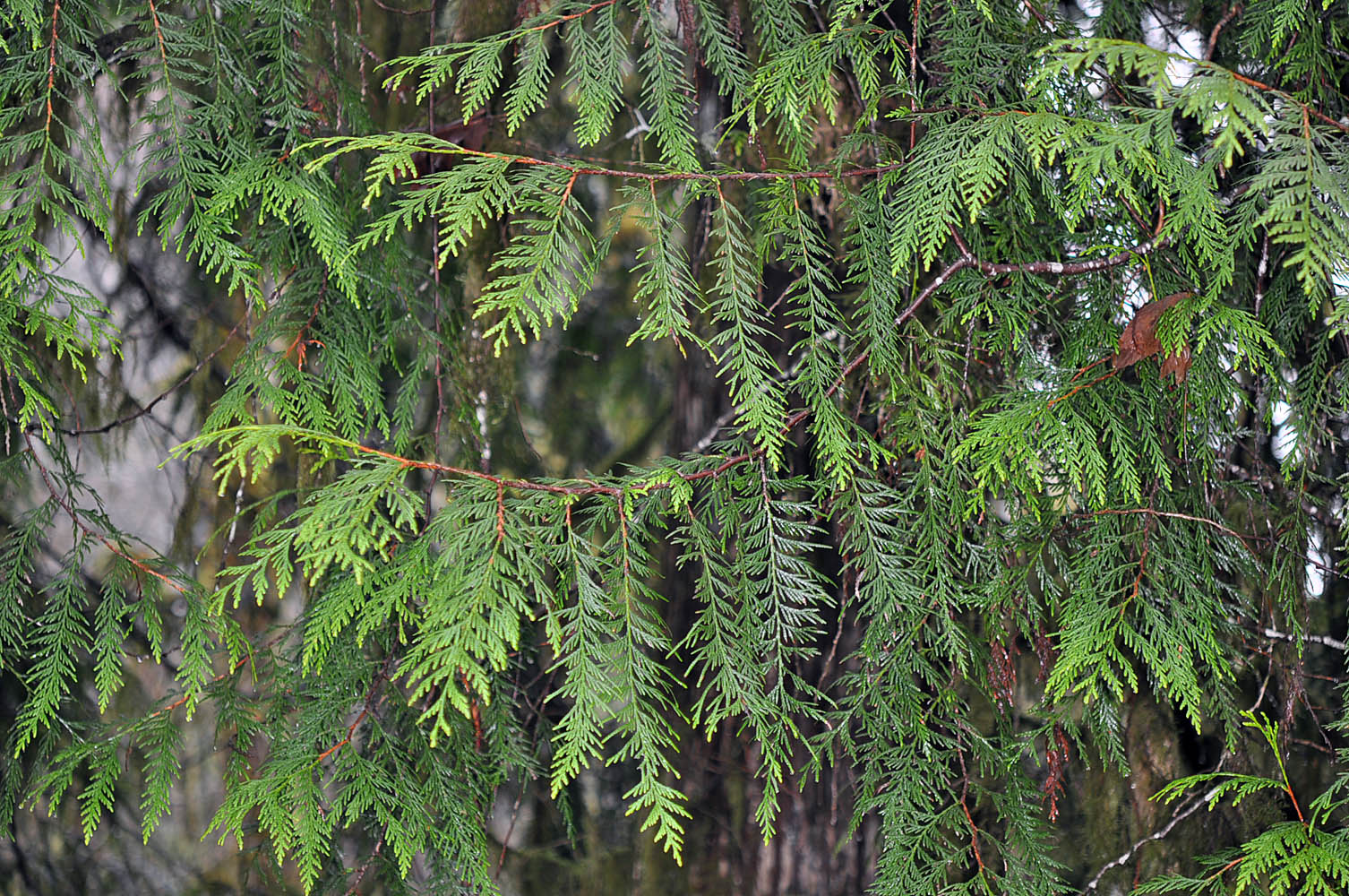
| Woods Creek Rd., ca. 5.5 mi. W of jct. with Hwy 20, ca. 8 mi. W of Philomath, ca. 1050 ft. elev., Benton Co., OR, 1/18/2010 | Woods Creek Rd., ca. 5.5 mi. W of jct. with Hwy 20, ca. 8 mi. W of Philomath, ca. 1050 ft. elev., Benton Co., OR, 1/18/2010 | Woods Creek Rd., ca. 5.5 mi. W of jct. with Hwy 20, ca. 8 mi. W of Philomath, ca. 1050 ft. elev., Benton Co., OR, 1/18/2010 |
 |
 |
 |
| Woods Creek Rd., ca. 5.5 mi. W of jct. with Hwy 20, ca. 8 mi. W of Philomath, ca. 1050 ft. elev., Benton Co., OR, 1/18/2010 | Along Sherman Creek, off Hwy 20, near the jct of the N & S Forks, W of Kettle Falls, 2460 ft. elev., Ferry Co., WASHINGTON, 8/27/1010 (© Robert L. Carr) | Along Sherman Creek, off Hwy 20, ca. 13 mi. W of Kettle Falls, N48.57745, W118.28328, Ferry Co., WASHINGTON, 5/31/2015, © Robert L. Carr | Along Sherman Creek, off Hwy 20, ca. 13 mi. W of Kettle Falls, N48.57745, W118.28328, Ferry Co., WASHINGTON, 5/17/2010, , © Robert L. Carr |
 |
 |
 |
 |
| Finch Arboretum, N47.64354, W117.46258, Spokane, Spokane Co., WASHINGTON, 3/10/2012, © Robert L. Carr | ||
 |