
| Oregon Flora Image Project | |
| Spirodela polyrrhiza (L.) Schleid. | greater duckweed - native Araceae |
Click on an image for a larger version. All images © Gerald D. Carr unless otherwise noted.
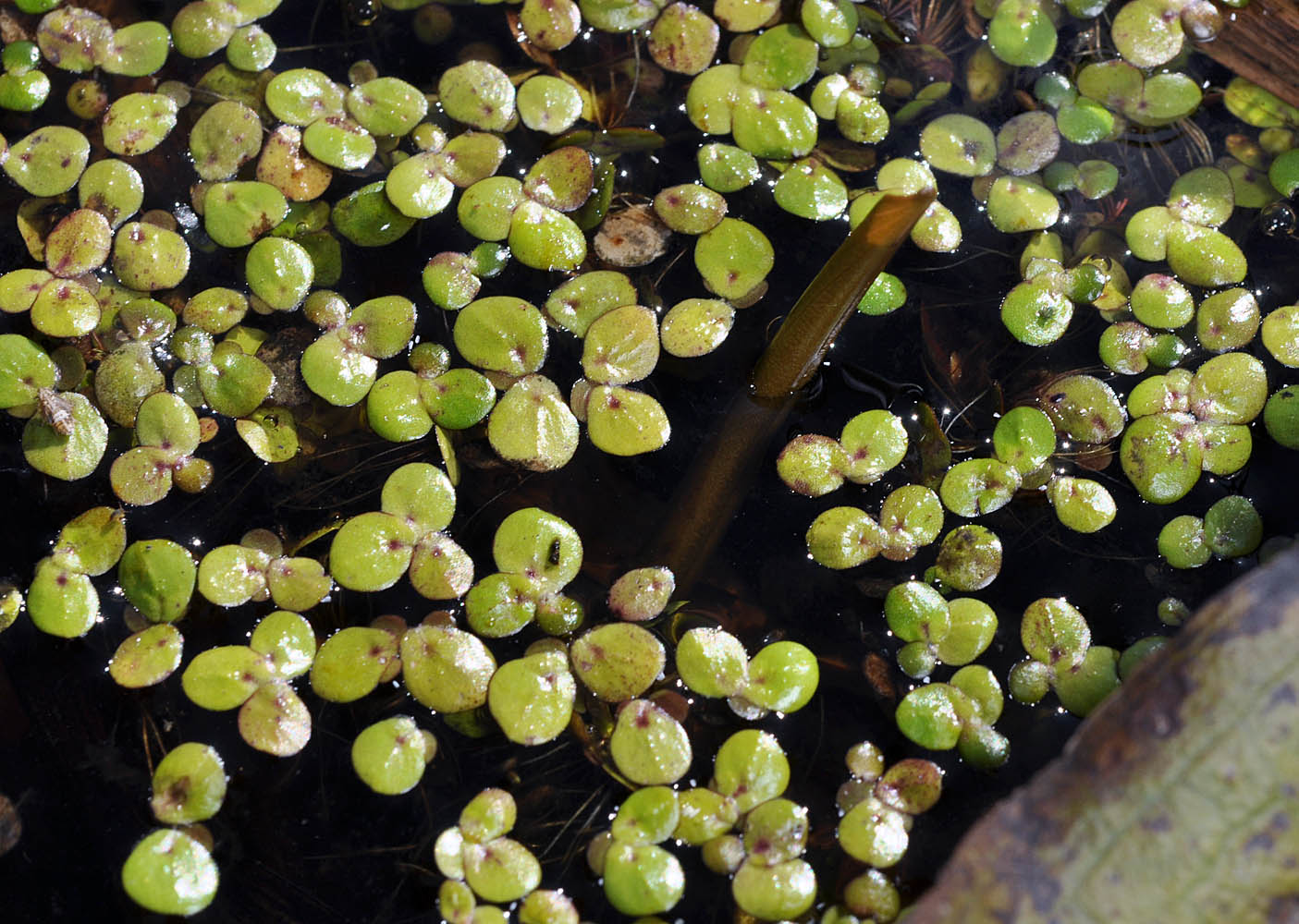
| Baker Beach Rd., ca. 0.2 mi. W of Hwy 101, ca. 5.3 mi. N of Heceta Junction, 20 ft. elev., N44.08849, W124.11268, Lane Co. OR, 9/22/2010 | Baker Beach Rd., ca. 0.2 mi. W of Hwy 101, ca. 5.3 mi. N of Heceta Junction, 20 ft. elev., N44.08849, W124.11268, Lane Co. OR, 9/22/2010 | ||
|
|
| Baker Beach Rd., ca. 0.2 mi. W of Hwy 101, ca. 5.3 mi. N of Heceta Junction, 20 ft. elev., N44.08849, W124.11268, Lane Co. OR, 9/22/2010 | Pond on the N side of Hwy 2, 0.23 mi. W of Cemetary Lane, just W of Newport, 2122 ft. elev., N48.17190, W117.07077, Pend Oreille Co., WASHINGTON, 6/23/2014, © Robert L. Carr | ||
 |
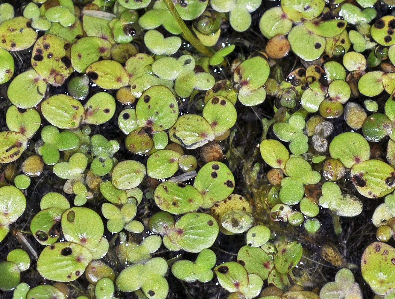 |
| Pond on the N side of Hwy 2, 0.23 mi. W of Cemetary Lane, just W of Newport, 2122 ft. elev., N48.17190, W117.07077, Pend Oreille Co., WASHINGTON, 6/23/2014, © Robert L. Carr | Pond on the N side of Hwy 2, 0.23 mi. W of Cemetary Lane, just W of Newport, 2122 ft. elev., N48.17190, W117.07077, Pend Oreille Co., WASHINGTON, 6/23/2014, © Robert L. Carr | Pond on the N side of Hwy 2, 0.23 mi. W of Cemetary Lane, just W of Newport, 2122 ft. elev., N48.17190, W117.07077, Pend Oreille Co., WASHINGTON, 6/23/2014, © Robert L. Carr |
 |
 |
XIV-3113b.jpg) |