| Oregon Flora Image Project | |
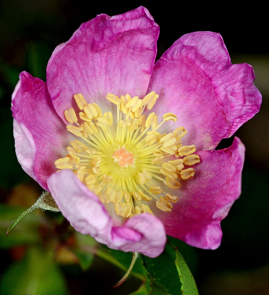
| Rosa gymnocarpa Nutt. | [see var.] - native Rosaceae |
Click on an image for a larger version. All images © Gerald D. Carr unless otherwise noted.
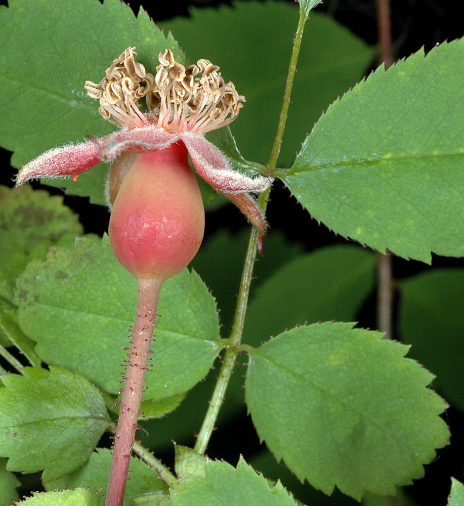
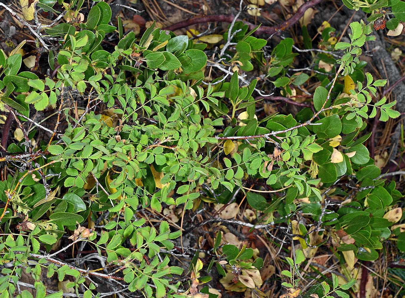
| var. gymnocarpa | little wild rose |
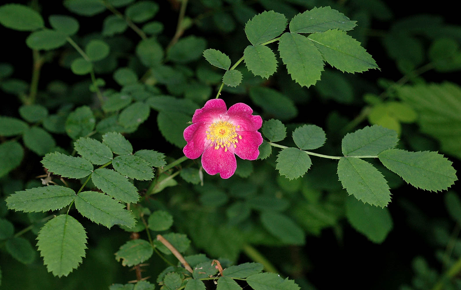
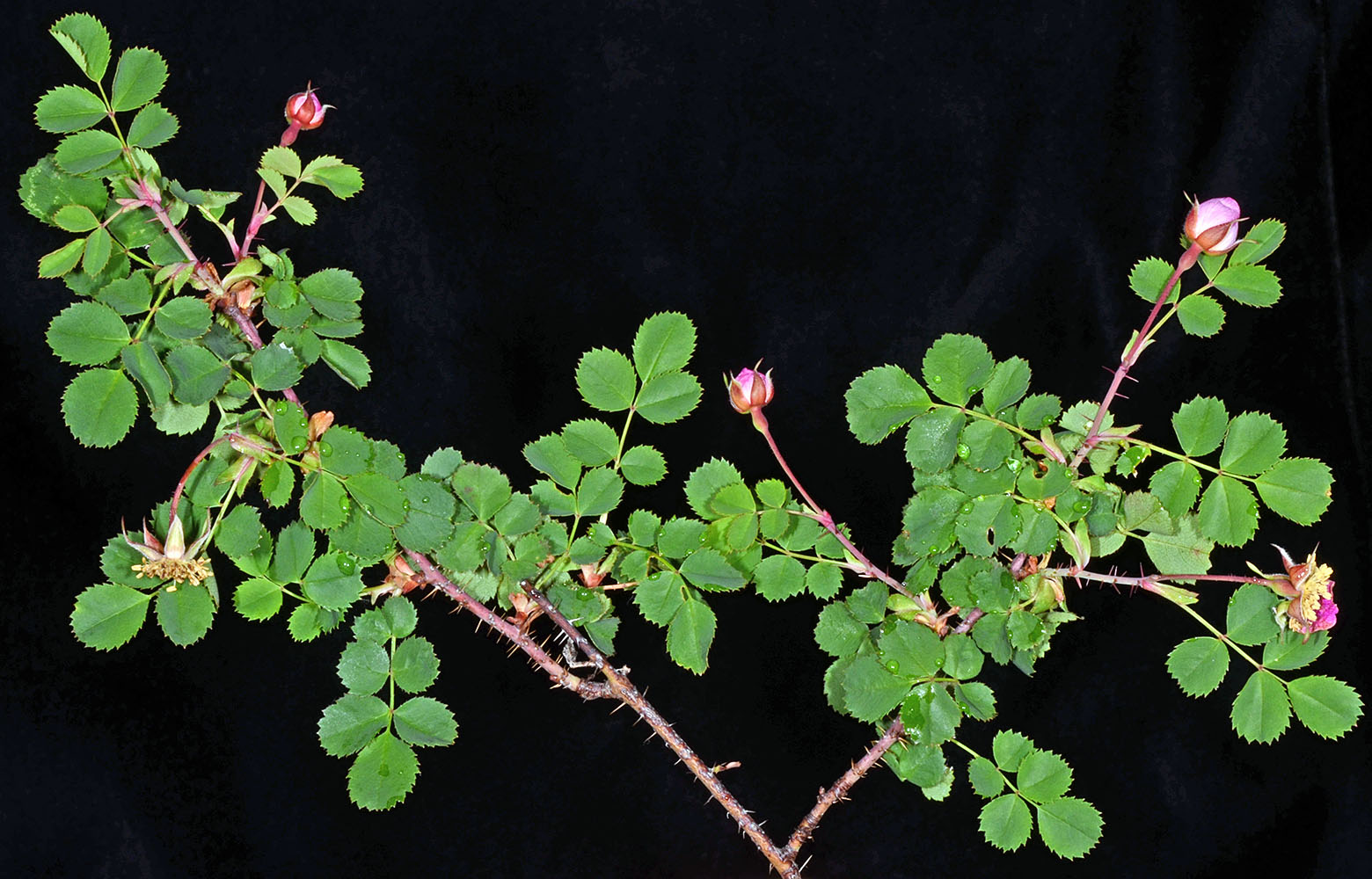
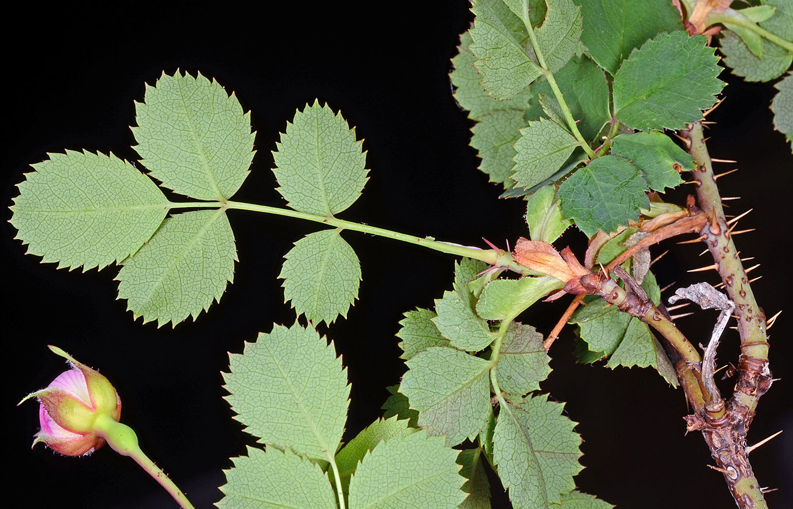
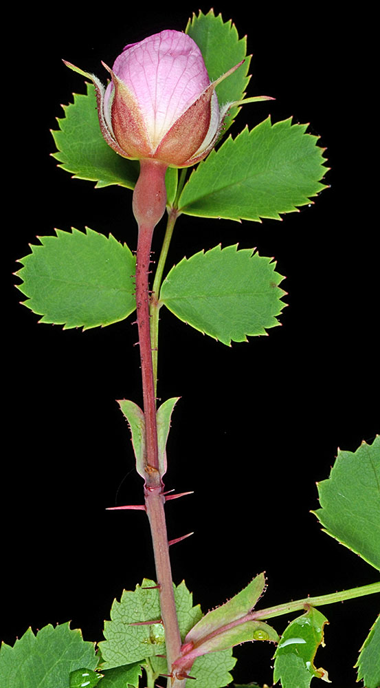
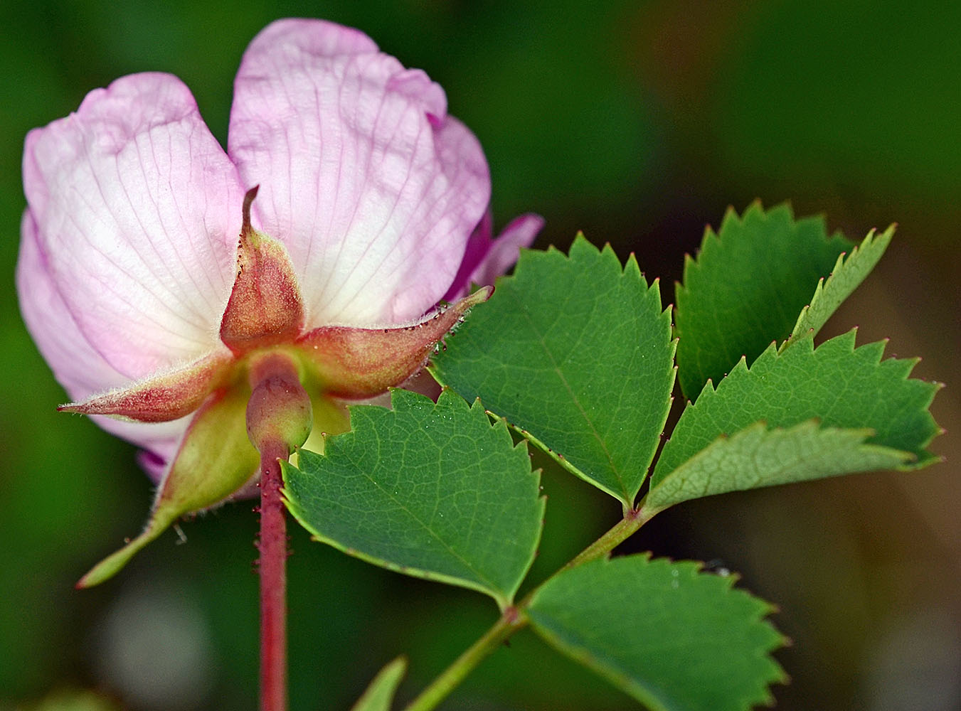
| Iron Mountain Trail, 4700-5400 ft. elev., Linn Co., OR, 7/7/2006 | Decker Rd., ca. 0.5 mi. NW of Ervin Rd., N44.48788, W123.43528, SW of Philomath, Benton Co., OR, 6/4/2008 | ||
|
|
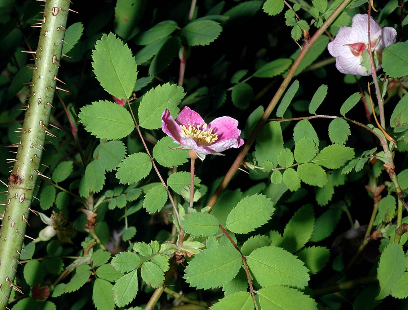
| Decker Rd., ca. 0.5 mi. NW of Ervin Rd., N44.48788, W123.43528, SW of Philomath, Benton Co., OR, 6/4/2008 | Decker Rd., ca. 0.5 mi. NW of Ervin Rd., N44.48788, W123.43528, SW of Philomath, Benton Co., OR, 6/4/2008 | ||
 |
 |
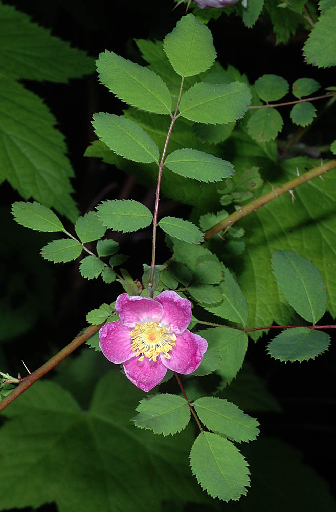
| Decker Rd., ca. 0.5 mi. NW of Ervin Rd., N44.48788, W123.43528, SW of Philomath, Benton Co., OR, 6/4/2008 | Decker Rd., ca. 0.5 mi. NW of Ervin Rd., N44.48788, W123.43528, SW of Philomath, Benton Co., OR, 6/4/2008 | Decker Rd., ca. 0.5 mi. NW of Ervin Rd., N44.48788, W123.43528, SW of Philomath, Benton Co., OR, 6/4/2008 |
 |
 |
 |
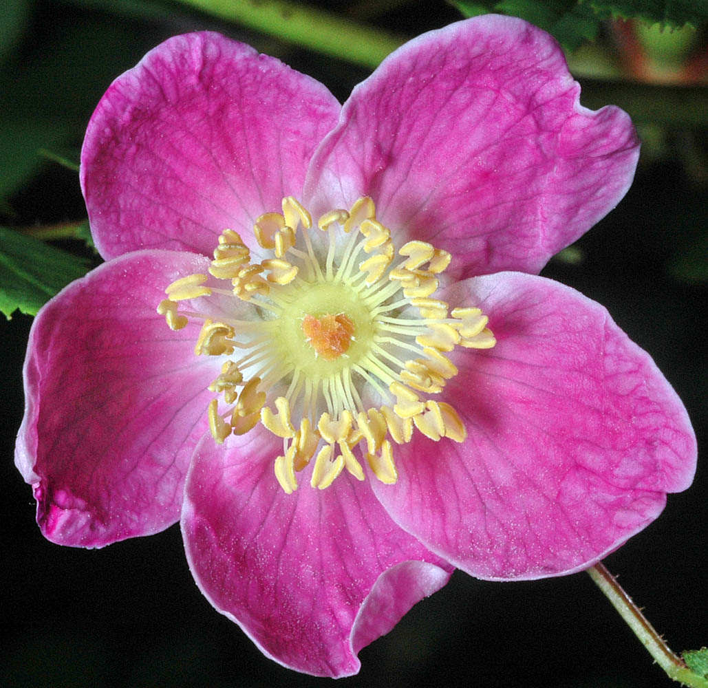
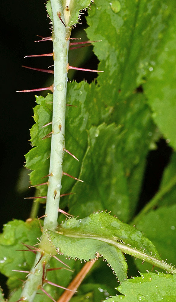
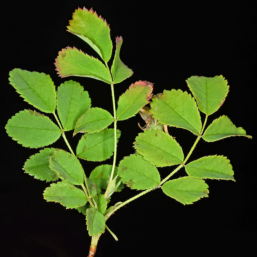
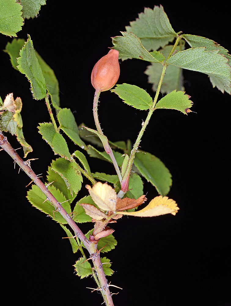
| Roadside, Hyw 242, 3.1 mi. SSW of jct. with FR 260 (Scott Lake Rd.), SW of McKenzie Pass, 4243 ft. elev., N44.18970, W121.89561, Lane Co., OR, 8/13/2014 | Roadside, Hyw 242, 3.1 mi. SSW of jct. with FR 260 (Scott Lake Rd.), SW of McKenzie Pass, 4243 ft. elev., N44.18970, W121.89561, Lane Co., OR, 8/13/2014 | Roadside, Hyw 242, 3.1 mi. SSW of jct. with FR 260 (Scott Lake Rd.), SW of McKenzie Pass, 4243 ft. elev., N44.18970, W121.89561, Lane Co., OR, 8/13/2014 |
 |
 |
 |
| Roadside, Hyw 242, 3.1 mi. SSW of jct. with FR 260 (Scott Lake Rd.), SW of McKenzie Pass, 4243 ft. elev., N44.18970, W121.89561, Lane Co., OR, 8/13/2014 | ||
 |
| var. serpentina Ertter & W.H. Lewis | serpentine naked-hip rose |
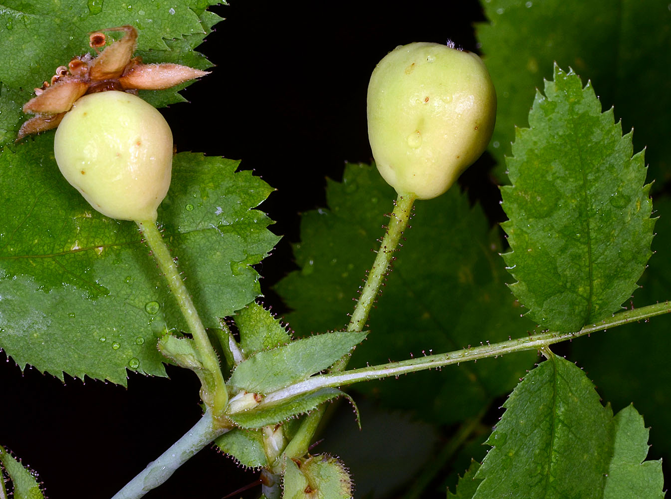
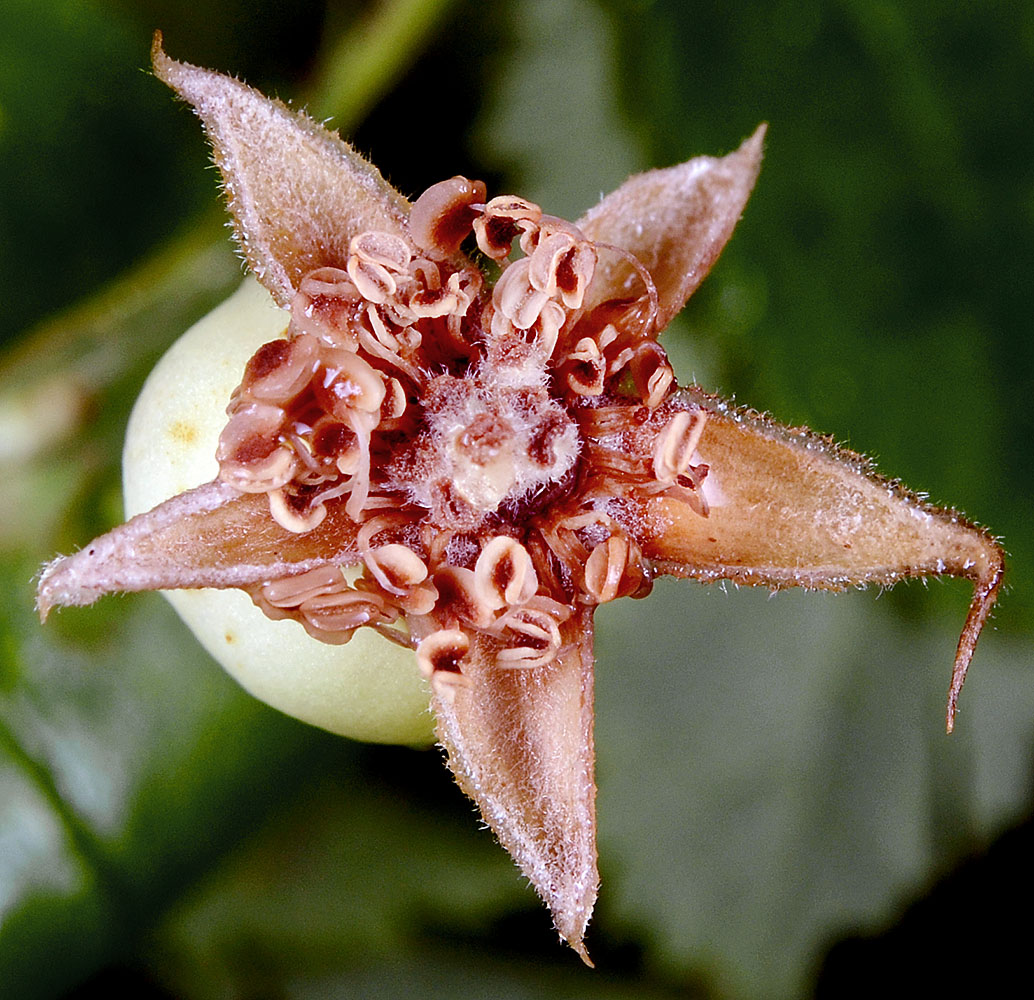
| S side of Whiskey Creek, ca. 475 ft. W of confluence with W Fork Illinois River, off Lone Mt. Rd. (NFD Rd. 4402), 5.3 mi. SW of O'Brien, 1730 ft. elev., N42.02246, W123.77347, Josephine Co., OR, 5/21/2013 | S side of Whiskey Creek, ca. 475 ft. W of confluence with W Fork Illinois River, off Lone Mt. Rd. (NFD Rd. 4402), 5.3 mi. SW of O'Brien, 1730 ft. elev., N42.02246, W 123.77347, Josephine Co., OR, 5/21/2013 | ||
 |
 |
| S side of Whiskey Creek, ca. 475 ft. W of confluence with W Fork Illinois River, off Lone Mt. Rd. (NFD Rd. 4402), 5.3 mi. SW of O'Brien, 1730 ft. elev., N42.02246, W 123.77347, Josephine Co., OR, 5/21/2013 | S side of Whiskey Creek, ca. 475 ft. W of confluence with W Fork Illinois River, off Lone Mt. Rd. (NFD Rd. 4402), 5.3 mi. SW of O'Brien, 1730 ft. elev., N42.02246, W 123.77347, Josephine Co., OR, 5/21/2013 | S side of Whiskey Creek, ca. 475 ft. W of confluence with W Fork Illinois River, off Lone Mt. Rd. (NFD Rd. 4402), 5.3 mi. SW of O'Brien, 1730 ft. elev., N42.02246, W 123.77347, Josephine Co., OR, 5/21/2013 |
 |
 |
 |
| S side of Whiskey Creek, ca. 475 ft. W of confluence with W Fork Illinois River, off Lone Mt. Rd. (NFD Rd. 4402), 5.3 mi. SW of O'Brien, 1730 ft. elev., N42.02246, W 123.77347, Josephine Co., OR, 5/21/2013 | NFD Rd. 20 (Siskiyou Summit Rd.), 1.6 mi. SW of Siskiyou Gap, ca. 20.5 mi. S of Talent via NFD Rd. 22 & Wagner Creek Rd., 6250 ft. elev., N42.03894, W122.82588, Jackson Co., OR, 8/10/2015 | NFD Rd. 20 (Siskiyou Summit Rd.), 1.6 mi. SW of Siskiyou Gap, ca. 20.5 mi. S of Talent via NFD Rd. 22 & Wagner Creek Rd., 6250 ft. elev., N42.03894, W122.82588, Jackson Co., OR, 8/10/2015 |
 |
 |
 |
| NFD Rd. 20 (Siskiyou Summit Rd.), 1.6 mi. SW of Siskiyou Gap, ca. 20.5 mi. S of Talent via NFD Rd. 22 & Wagner Creek Rd., 6250 ft. elev., N42.03894, W122.82588, Jackson Co., OR, 8/10/2015 | NFD Rd. 20 (Siskiyou Summit Rd.), 1.6 mi. SW of Siskiyou Gap, ca. 20.5 mi. S of Talent via NFD Rd. 22 & Wagner Creek Rd., 6250 ft. elev., N42.03894, W122.82588, Jackson Co., OR, 8/10/2015 | ||
 |
 |