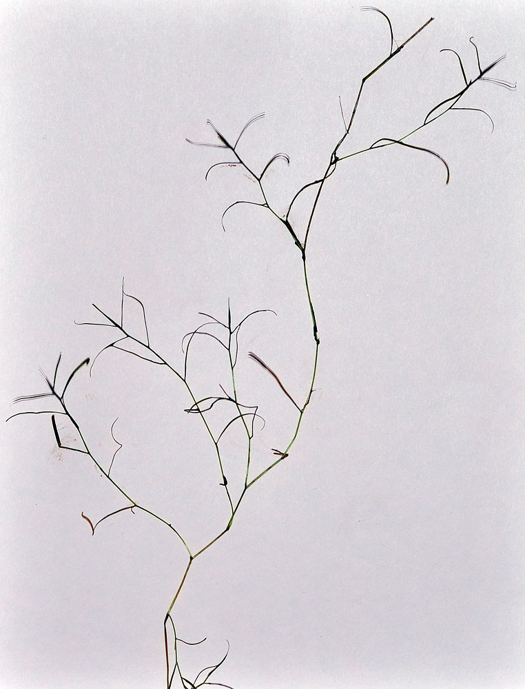
| SE shore of Cattail Lake, ca. 7.75 air mi. NW of Connell, 940 ft. elev.,
N46.70317, W119.01257, Franklin Co., WASHINGTON, 9/21/2016, © Robert L. Carr |
SE shore of Cattail Lake, ca. 7.75 air mi. NW of Connell, 940 ft. elev.,
N46.70317, W119.01257, Franklin Co., WASHINGTON, 9/21/2016, © Robert L. Carr |
SE shore of Cattail Lake, ca. 7.75 air mi. NW of Connell, 940 ft. elev.,
N46.70317, W119.01257, Franklin Co., WASHINGTON, 9/21/2016, © Robert L. Carr |
SE shore of Cattail Lake, ca. 7.75 air mi. NW of Connell, 940 ft. elev.,
N46.70317, W119.01257, Franklin Co., WASHINGTON, 9/21/2016, © Robert L. Carr |