
| Oregon Flora Image Project | |
| Potamogeton crispus L. | curled pondweed - exotic, naturalized Potamogetonaceae |
Click on an image for a larger version. All images © Gerald D. Carr unless otherwise noted.
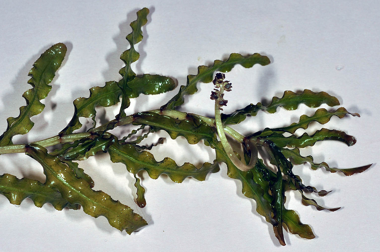
| E Thornton Lake at 1037 N Albany Rd., N44.64924, W123.11358, Albany, Benton Co., OR, 8/16/2009 | E Thornton Lake at 1037 N Albany Rd., N44.64924, W123.11358, Albany, Benton Co., OR, 8/16/2009 | E Thornton Lake at 1037 N Albany Rd., N44.64924, W123.11358, Albany, Benton Co., OR, 8/16/2009 |
|
|
|
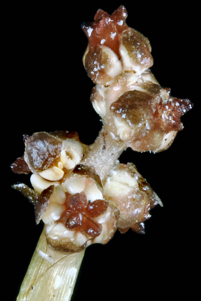
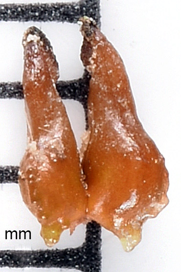
| SE shore of Cattail Lake, ca. 7.75 air mi. NW of Connell, 940 ft. elev., N46.70317, W119.01257, Franklin Co., WASHINGTON, 9/19/2016, © Robert L. Carr | just S of the Buckshot Recreation area parking lot, 3.06 air mi. SW of Mattawa, 490 ft. elev., N46.71068, W119.95328, Grant Co., WASHINGTON, 9/13/2016, © Robert L. Carr | SE shore of Cattail Lake, ca. 7.75 air mi. NW of Connell, 940 ft. elev., N46.70317, W119.01257, Franklin Co., WASHINGTON, 9/19/2016, © Robert L. Carr |
 |
 |
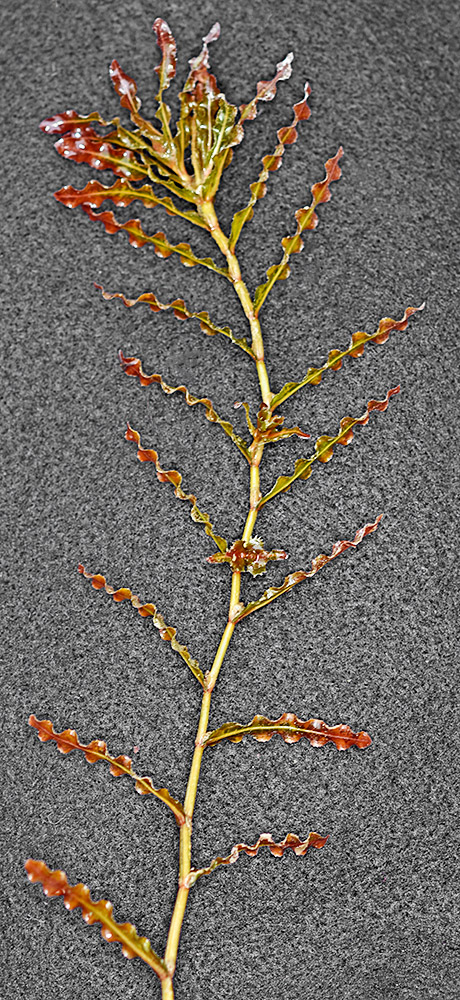 |
| SE shore of Cattail Lake, ca. 7.75 air mi. NW of Connell, 940 ft. elev., N46.70317, W119.01257, Franklin Co., WASHINGTON, 9/19/2016, © Robert L. Carr | SE shore of Cattail Lake, ca. 7.75 air mi. NW of Connell, 940 ft. elev., N46.70317, W119.01257, Franklin Co., WASHINGTON, 9/19/2016, © Robert L. Carr | SE shore of Cattail Lake, ca. 7.75 air mi. NW of Connell, 940 ft. elev., N46.70317, W119.01257, Franklin Co., WASHINGTON, 9/19/2016, © Robert L. Carr | SE shore of Cattail Lake, ca. 7.75 air mi. NW of Connell, 940 ft. elev., N46.70317, W119.01257, Franklin Co., WASHINGTON, 9/19/2016, © Robert L. Carr |
 |
 |
 |
 |
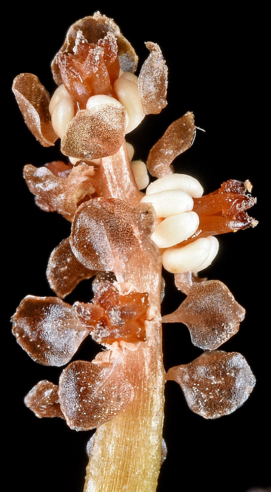
| SE shore of Cattail Lake, ca. 7.75 air mi. NW of Connell, 940 ft. elev., N46.70317, W119.01257, Franklin Co., WASHINGTON, 9/19/2016, © Robert L. Carr | SE shore of Cattail Lake, ca. 7.75 air mi. NW of Connell, 940 ft. elev., N46.70317, W119.01257, Franklin Co., WASHINGTON, 9/19/2016, © Robert L. Carr | ||
 |
 |