

| Oregon Flora Image Project | |
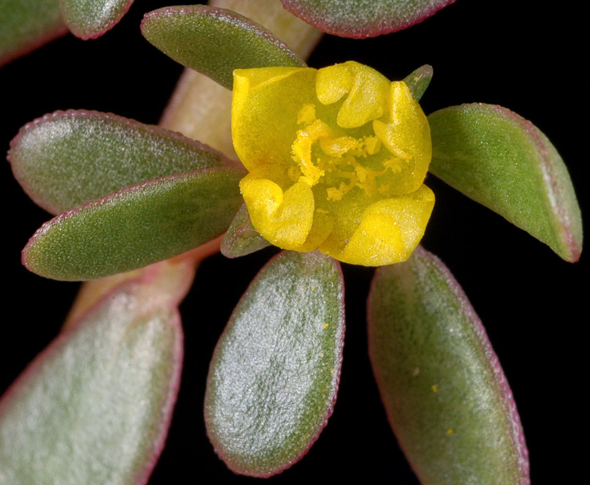
| Portulaca oleracea L. | common purslane - exotic,
naturalized Portulacaceae |
Click on an image for a larger version. All images © Gerald D. Carr unless otherwise noted.
| Draw-down zone of W shore of E arm of Emigrant Lake, off Hwy 66, SE of Ashland, 2220 ft. elev., N42.14180, W122.59478, Jackson Co., OR, 9/28/2016 | Draw-down zone of W shore of E arm of Emigrant Lake, off Hwy 66, SE of Ashland, 2220 ft. elev., N42.14180, W122.59478, Jackson Co., OR, 9/28/2016 | ||
|
|
| E shore of Fisher Island Pond, ca. 0.13 mi. S of Hwy 34, Corvallis, Benton Co, OR, 8/25/2008 | E shore of Fisher Island Pond, ca. 0.13 mi. S of Hwy 34, Corvallis, Benton Co, OR, 8/25/2008 | ||
 |
 |
| E shore of Fisher Island Pond, ca. 0.13 mi. S of Hwy 34, Corvallis, Benton Co, OR, 8/25/2008 | E shore of Fisher Island Pond, ca. 0.13 mi. S of Hwy 34, Corvallis, Benton Co, OR, 8/25/2008 | ||
 |
 |
| Along Sand Dunes Rd. SE, W side of Moses Lake, ca. 1.7 mi S of I90, 1050 ft. elev., N47.08007, W119.33601, Grant Co., WASHINGTON, 8/17/2012, © Robert L. Carr | Along Sand Dunes Rd. SE, W side of Moses Lake, ca. 1.7 mi S of I90, 1050 ft. elev., N47.08007, W119.33601, Grant Co., WASHINGTON, 8/17/2012, © Robert L. Carr | Along Sand Dunes Rd. SE, W side of Moses Lake, ca. 1.7 mi S of I90, 1050 ft. elev., N47.08007, W119.33601, Grant Co., WASHINGTON, 8/17/2012, © Robert L. Carr |
 |
 |
 |