


| Oregon Flora Image Project | |
| Pinus contorta Douglas ex Loudon | [see var.] - native Pinaceae |
Click on an image for a larger version. All images © Gerald D. Carr unless otherwise noted.
| var. contorta | shore pine |
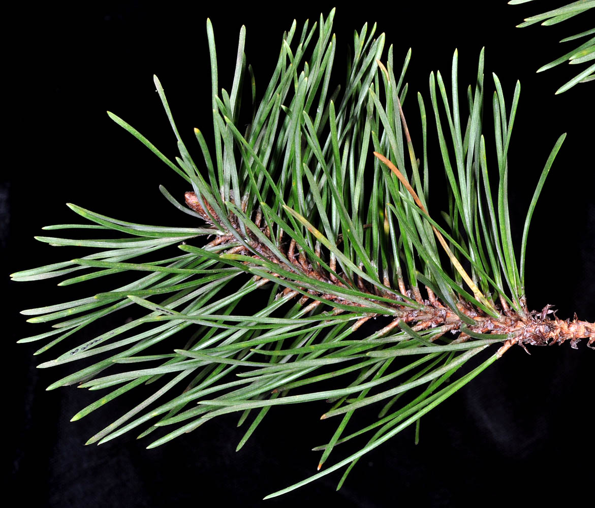
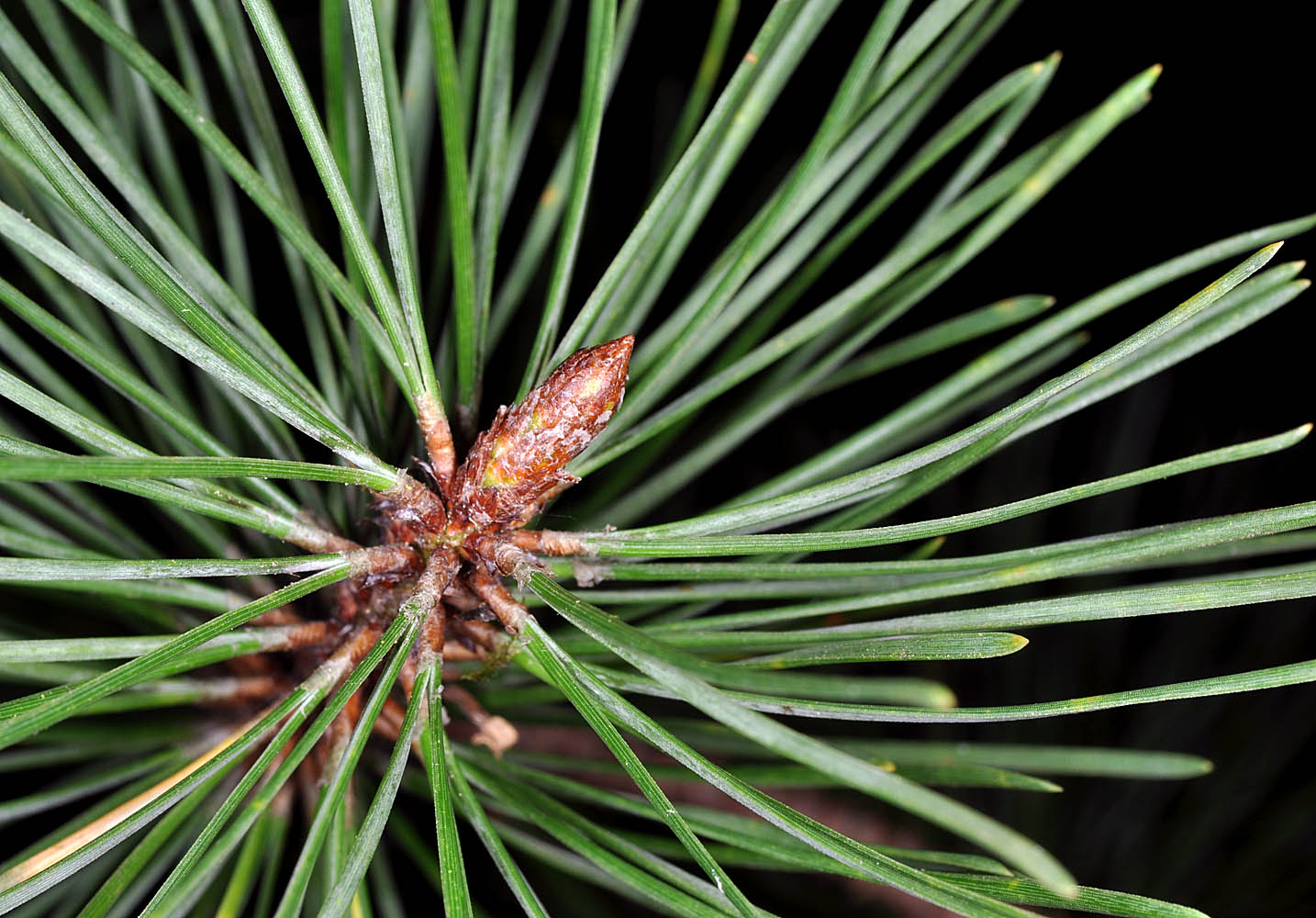
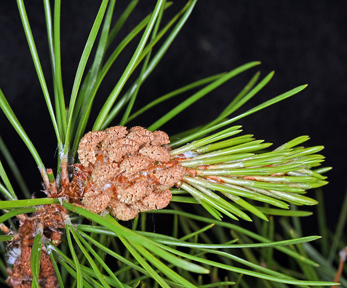
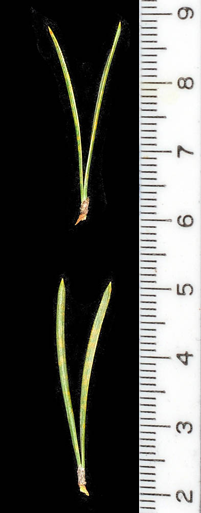
| jct. of NW Maple and NW Hemlock Sts., 13 ft. elev., N44.42707, W124.06843, Waldport, Lincoln Co., OR, 5/8/2013 | jct. of NW Maple and NW Hemlock Sts., 13 ft. elev., N44.42707, W124.06843, Waldport, Lincoln Co., OR, 5/8/2013 | jct. of NW Maple and NW Hemlock Sts., 13 ft. elev., N44.42707, W124.06843, Waldport, Lincoln Co., OR, 5/8/2013 |
|
|
|
| jct. of NW Maple and NW Hemlock Sts., 13 ft. elev., N44.42707, W124.06843, Waldport, Lincoln Co., OR, 5/8/2013 | jct. of NW Maple and NW Hemlock Sts., 13 ft. elev., N44.42707, W124.06843, Waldport, Lincoln Co., OR, 5/8/2013 | ||
 |
 |
| jct. of NW Maple and NW Hemlock Sts., 13 ft. elev., N44.42707, W124.06843, Waldport, Lincoln Co., OR, 5/8/2013 | ||
 |
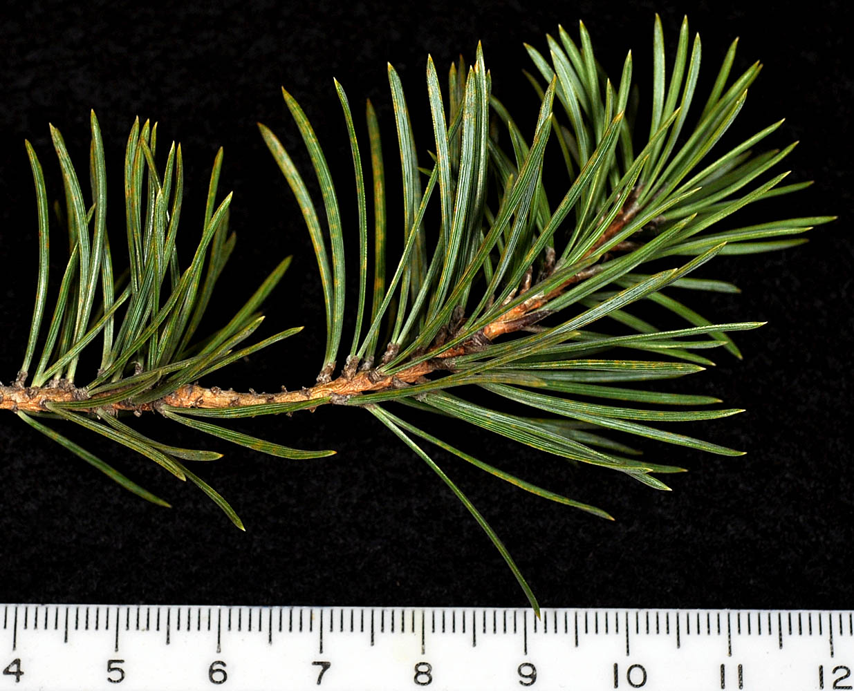
| Peavy Arboretum, ca. 6 mi. N of Corvallis, N44.65558, W123.23163, Benton Co., OR, 3/8/2010 | Peavy Arboretum, ca. 6 mi. N of Corvallis, N44.65558, W123.23163, Benton Co., OR, 3/8/2010 | ||
 |
 |
| Peavy Arboretum, ca. 6 mi. N of Corvallis, N44.65558, W123.23163, Benton Co., OR, 3/8/2010 | Peavy Arboretum, ca. 6 mi. N of Corvallis, N44.65558, W123.23163, Benton Co., OR, 3/8/2010 | ||
 |
 |
| var. latifolia Engelm. | lodgepole pine |
| Hwy 20, along Sherman Creek, 13 miles W of Kettle Falls, Ferry Co., WASHINGTON, 5/28/2006 (© Robert L. Carr) | flat landing area on spur road from Graves Mt. Rd., 1.53 air mi. W of Graves Mt. Peak, 4848 ft. elev., N48.63490, W118.39249, Ferry Co., WASHINGTON, 6/25/2018, © Robert L. Carr | NW edge of Wetland area at N end of McDowell Lake; SE of Colville, 2300 ft. elev., N48.47264, W117.68411, Stevens Co., WASHINGTON, 8/27/2012, © Robert L. Carr |
 |
 |
 |
| S Ritchey Rd., off Hwy 904, ca. 7 mi. W of Cheney, 2275 ft. elev., Spokane Co., WASHINGTON, 2/12/2010 (© Robert L. Carr) | S Ritchey Rd., off Hwy 904, ca. 7 mi. W of Cheney, 2275 ft. elev., Spokane Co., WASHINGTON, 2/12/2010 (© Robert L. Carr) |
|
|
 |
 |