| Oregon Flora Image Project | |
| Pedicularis racemosa Hook. | white sickletop lousewort - native Orobanchaceae (Scrophulariaceae) |
Click on an image for a larger version. All images © Gerald D. Carr unless otherwise noted.
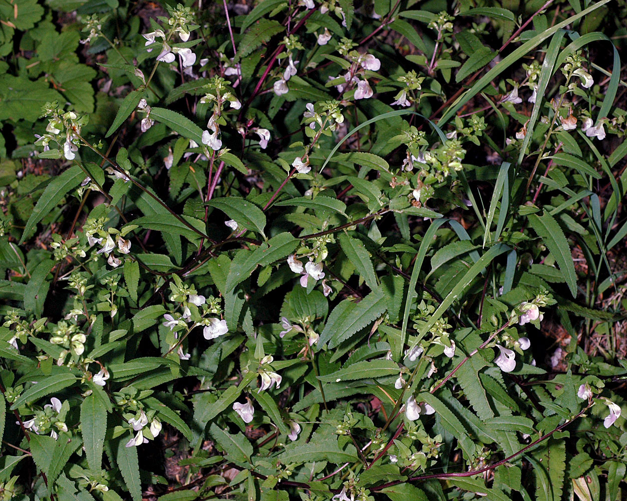
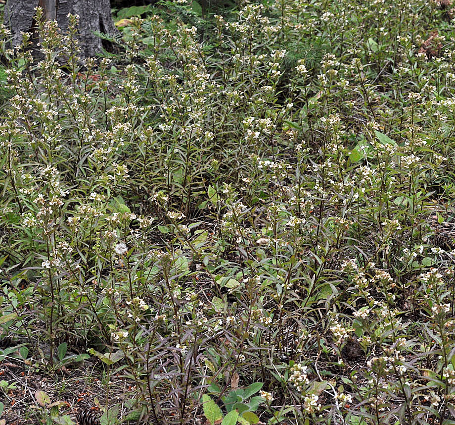
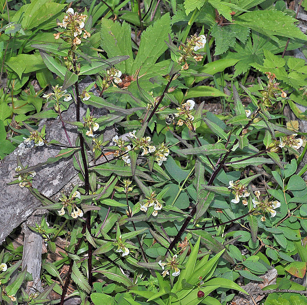
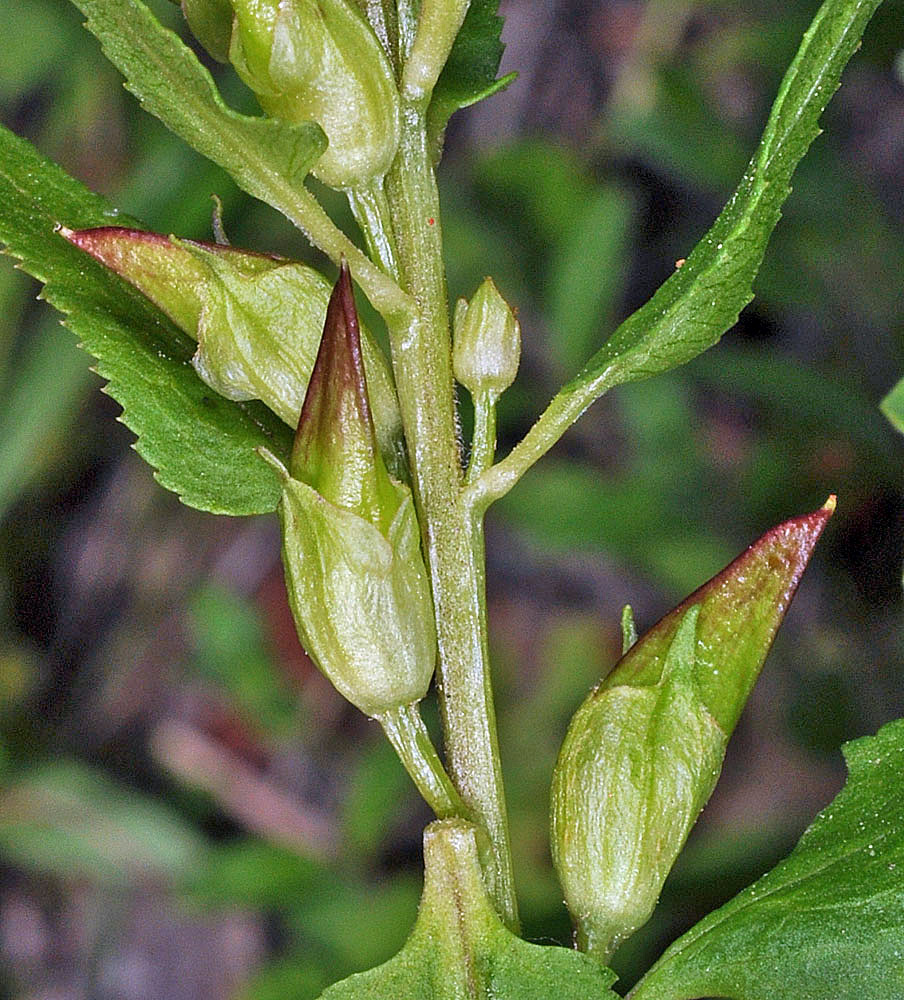
| Cone Peak Tr., S of Hwy 20, near Tombstone Pass parking area, Linn Co., OR, 8/11/2007 | Iron Mountain Trail, 4700-5400 ft. elev., Linn Co., OR, 7/8/2006 | Iron Mountain Trail, 4700-5400 ft. elev., Linn Co., OR, 7/8/2006 |
|
|
|
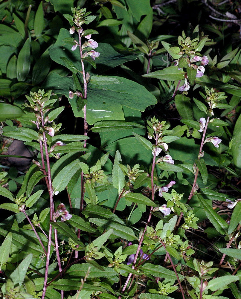
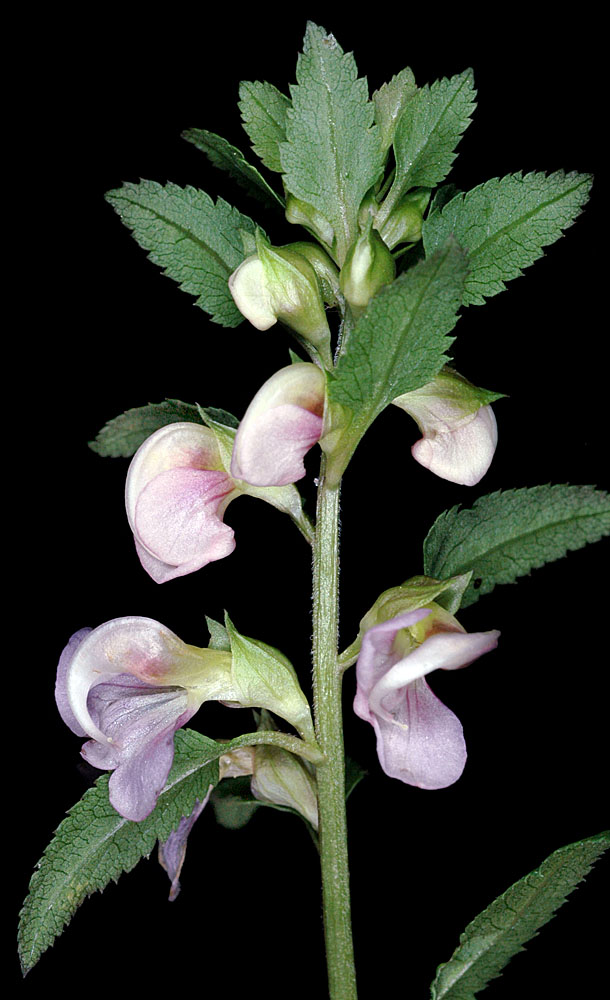
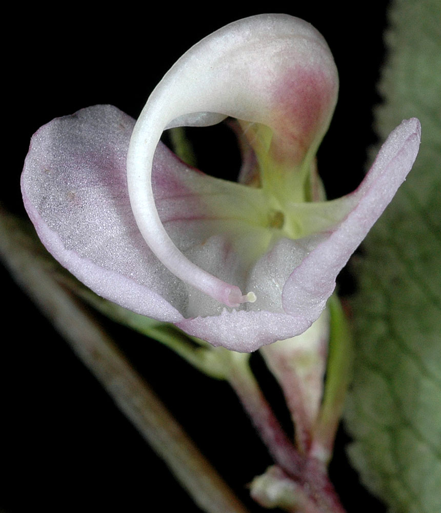
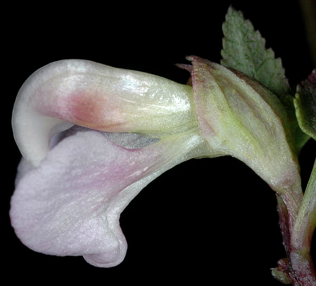
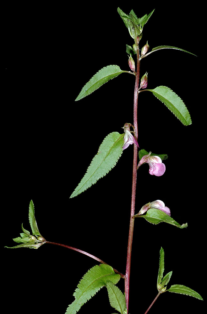
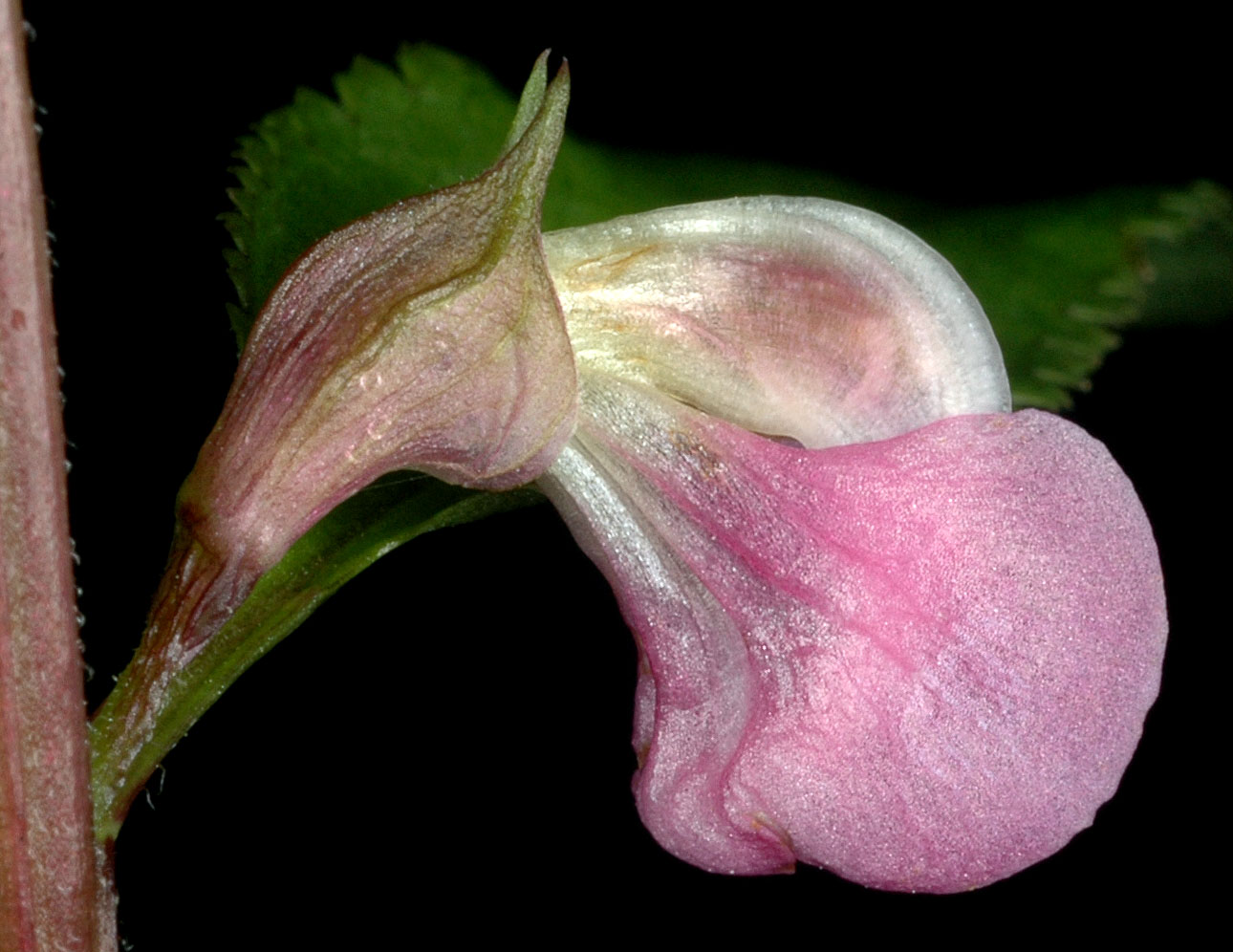
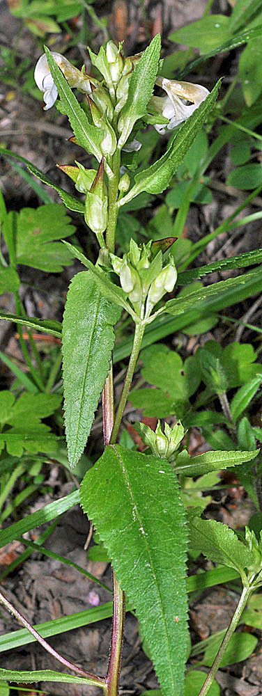
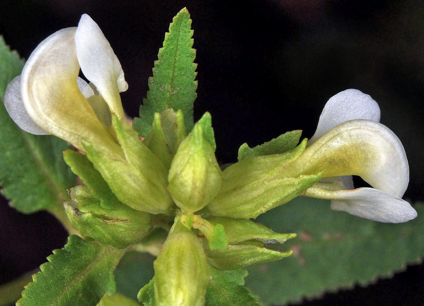
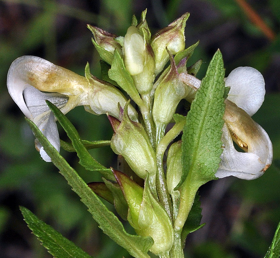
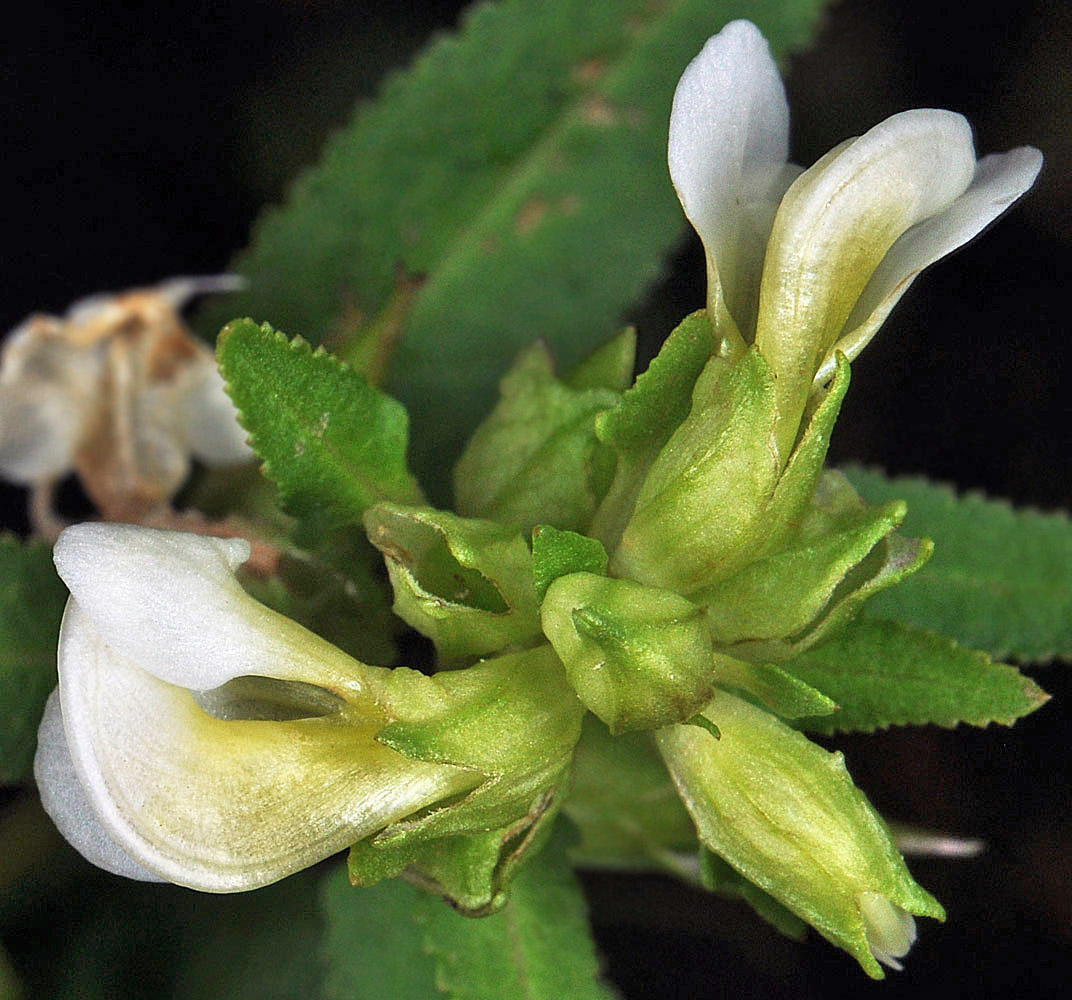
| Iron Mountain Trail, 4700-5400 ft. elev., Linn Co., OR, 7/8/2006 | Iron Mountain Trail, 4700-5400 ft. elev., Linn Co., OR, 7/8/2006 | Iron Mountain Trail, 4700-5400 ft. elev., Linn Co., OR, 7/8/2006 |
 |
 |
 |
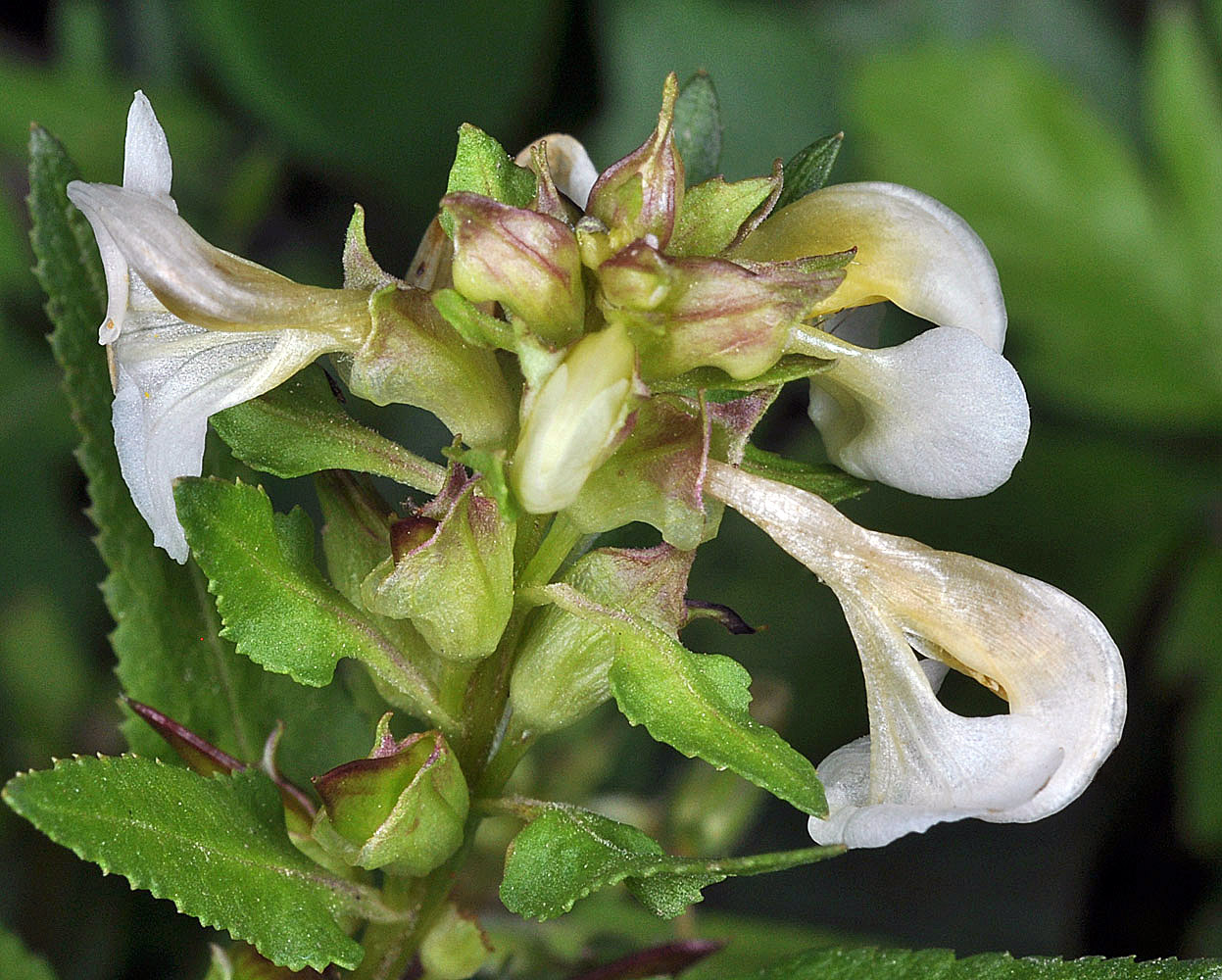
| ca. 0.1 mi. E of end of Natl. For. Dev. Rd. 345, near Gordon Meadows, ca. 8.8 air mi ESE of Cascadia, Linn Co., OR, 7/10/2007 | ca. 0.1 mi. E of end of Natl. For. Dev. Rd. 345, near Gordon Meadows, ca. 8.8 air mi ESE of Cascadia, Linn Co., OR, 7/10/2007 | Along the Pomeroy-Grouse Flat Rd., ca. 1.7 air mi. SE of Mt. Misery Campground, N 46.10815, W 117.45248, Asotin Co., WASHINGTON, 7/31/2013, © Robert L. Carr |
 |
 |
 |
| W of Hwy 95, just S. of County Line (Adams) Rd., N47.36575, W116.88723, Benewah Co., IDAHO, 7/2/2009, © Robert L. Carr | W of Hwy 95, just S. of County Line (Adams) Rd., N47.36575, W116.88723, Benewah Co., IDAHO, 7/2/2009, © Robert L. Carr | Along the Pomeroy-Grouse Flat Rd., ca. 1.7 air mi. SE of Mt. Misery Campground, N46.10815, W117.45248, Asotin Co., WASHINGTON, 7/31/2013, © Robert L. Carr |
 |
 |
 |
| W of Hwy 95, just S. of County Line (Adams) Rd., N47.36575, W116.88723, Benewah Co., IDAHO, 7/2/2009, © Robert L. Carr | W of Hwy 95, just S. of County Line (Adams) Rd., N47.36575, W116.88723, Benewah Co., IDAHO, 7/2/2009, © Robert L. Carr | Along the Pomeroy-Grouse Flat Rd., ca. 1.7 air mi. SE of Mt. Misery Campground, N 46.10815, W 117.45248, Asotin Co., WASHINGTON, 7/31/2013, © Robert L. Carr |
 |
 |
 |
| W of Hwy 95, just S. of County Line (Adams) Rd., N47.36575, W116.88723, Benewah Co., IDAHO, 7/2/2009, © Robert L. Carr | ||
 |