
| Oregon Flora Image Project | |
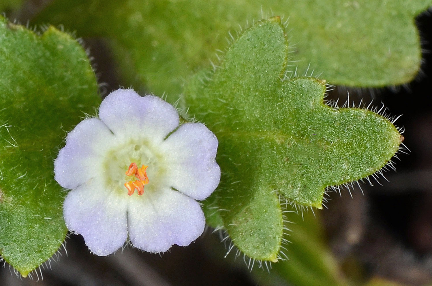
| Nemophila kirtleyi L.F. Hend. | Snake Canyon nemophila - native Hydrophyllaceae |
Click on an image for a larger version. All images © Gerald D. Carr unless otherwise noted.
| Imnaha Hwy (350), 8.4 mi. SW of Imnaha, in rock rubble between Hwy and Little Sheep Creek, 2845 ft. elev., N45.47480, W117.94063, Wallowa Co., OR, 5/28/2015 | Imnaha Hwy (350), 8.4 mi. SW of Imnaha, in rock rubble between Hwy and Little Sheep Creek, 2845 ft. elev., N45.47480, W117.94063, Wallowa Co., OR, 5/28/2015 | ||
|
|
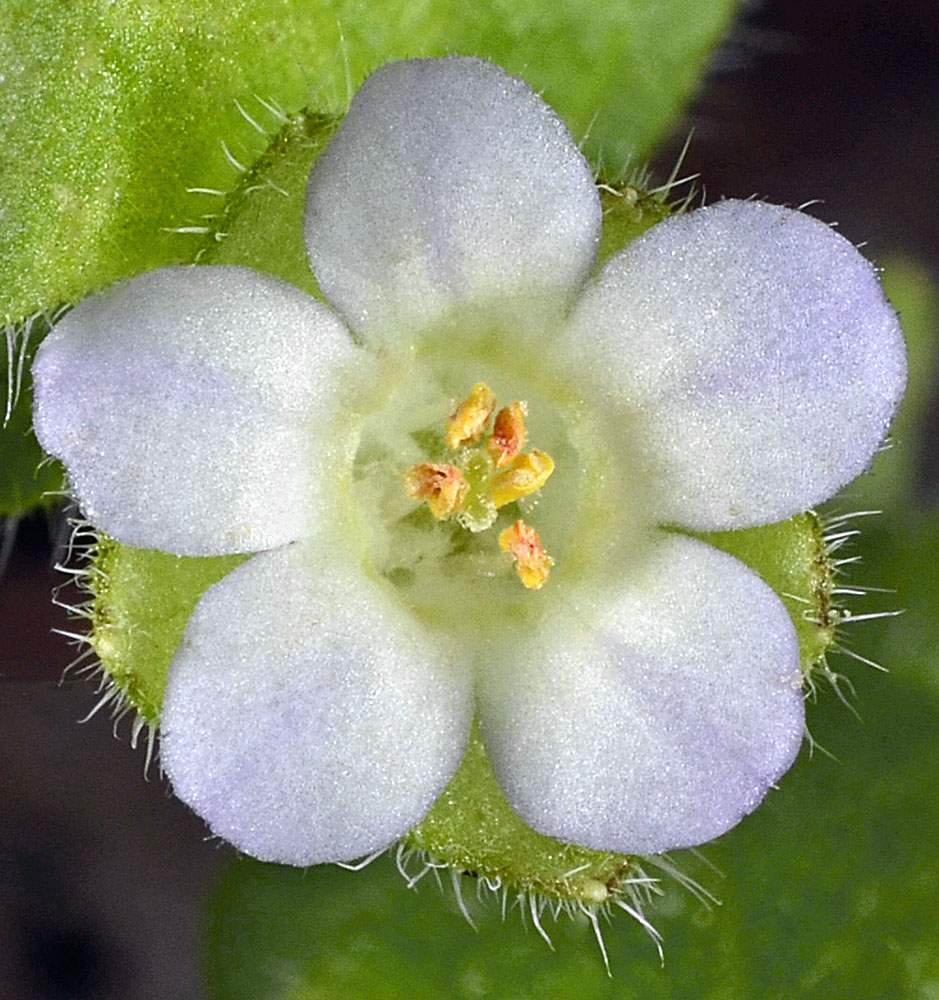
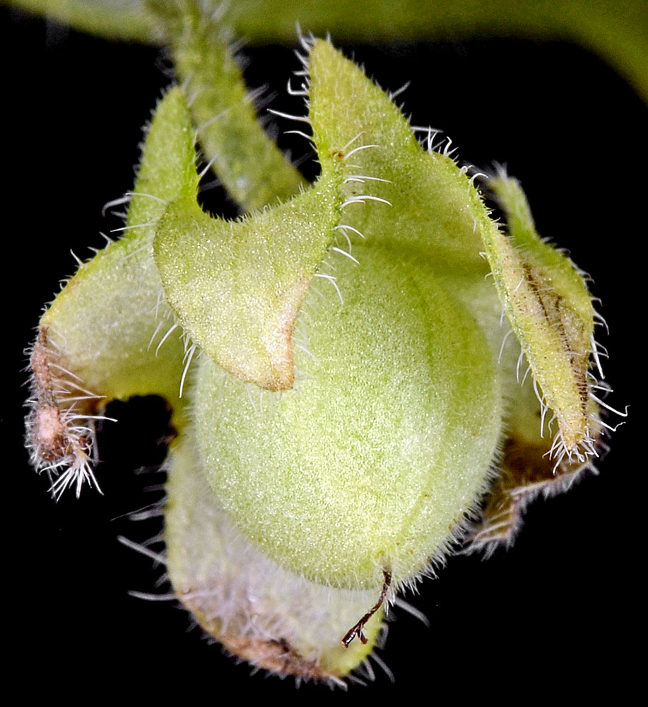
| Imnaha Hwy (350), 8.4 mi. SW of Imnaha, in rock rubble between Hwy and Little Sheep Creek, 2845 ft. elev., N45.47480, W117.94063, Wallowa Co., OR, 5/28/2015 | Imnaha Hwy (350), 8.4 mi. SW of Imnaha, in rock rubble between Hwy and Little Sheep Creek, 2845 ft. elev., N45.47480, W117.94063, Wallowa Co., OR, 5/28/2015 | Imnaha Hwy (350), 8.4 mi. SW of Imnaha, in rock rubble between Hwy and Little Sheep Creek, 2845 ft. elev., N45.47480, W117.94063, Wallowa Co., OR, 5/28/2015 |
 |
 |
 |
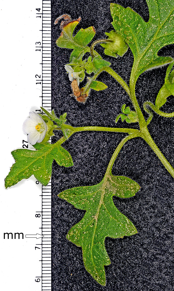
| Imnaha Hwy (350), 8.4 mi. SW of Imnaha, in rock rubble between Hwy and Little Sheep Creek, 2845 ft. elev., N45.47480, W117.94063, Wallowa Co., OR, 5/28/2015 | Talus area just W of the Snake River Rd. at the confluence of the Grand Ronde and Snake Rivers, N46.08046, W116.98234, 857 ft. elev., Asotin Co., WASHINGTON, 4/23/2021, © Robert L. Carr | ||
 |
 |