
| Oregon Flora Image Project | |
| Montia fontana L. | spring water chickweed - native Montiaceae (formerly Portulacaceae) |
Click on an image for a larger version. All images © Gerald D. Carr unless otherwise noted.
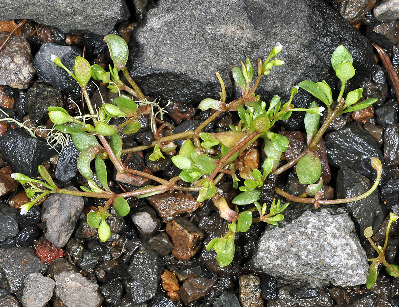
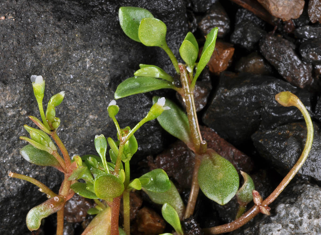
| Alsea Hwy (SR-34), 6,2 mi. SW of jct. with Hwy 20, SW of Philomath, 490 ft. elev., N44.47458, W123.46619, Benton Co., OR, 4/28/2010 | Alsea Hwy (SR-34), 6,2 mi. SW of jct. with Hwy 20, SW of Philomath, 490 ft. elev., N44.47458, W123.46619, Benton Co., OR, 4/28/2010 | Alsea Hwy (SR-34), 6,2 mi. SW of jct. with Hwy 20, SW of Philomath, 490 ft. elev., N44.47458, W123.46619, Benton Co., OR, 4/28/2010 |
|
|
|
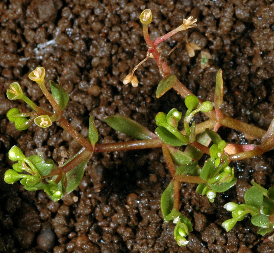
| Alsea Hwy (SR-34), 6,2 mi. SW of jct. with Hwy 20, SW of Philomath, 490 ft. elev., N44.47458, W123.46619, Benton Co., OR, 4/28/2010 | Kingston Prairie Preserve, Kingston-Lyons Rd., 1.6 mi E of Kingston, Linn Co., OR, 5/24/2007 | Kingston Prairie Preserve, Kingston-Lyons Rd., 1.6 mi E of Kingston, Linn Co., OR, 5/24/2007 |
 |
 |
 |
| Kingston Prairie Preserve, Kingston-Lyons Rd., 1.6 mi E of Kingston, Linn Co., OR, 5/24/2007 | Kingston Prairie Preserve, Kingston-Lyons Rd., 1.6 mi E of Kingston, Linn Co., OR, 5/24/2007 | 1.5 mi. NNW of N Bank Rd. (CR 200) at Whistler's Bend, 14.6 mi. E of Wilbur, Douglas Co., OR, 4/7/2007 |
 |
 |
 |
| 1.5 mi. NNW of N Bank Rd. (CR 200) at Whistler's Bend, 14.6 mi. E of Wilbur, Douglas Co., OR, 4/7/2007 | Sams Valley Hwy (234), 3.9 mi. SW of Rogue River crossing, E of Sams Valley, 1300 ft. elev., N42.50083, W122.91028, Jackson Co., OR, 5/9/2012 | ||
 |
 |