

| Oregon Flora Image Project | |
| Lomatium ravenii Mathias & Constance var. paiutense K. Carlson & Mansfield ined. | Raven's biscuitroot - native Apiaceae |
Click on an image for a larger version. All images © Gerald D. Carr unless otherwise noted.
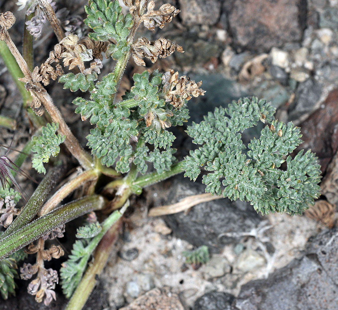
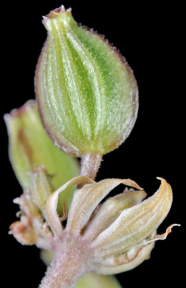
| Hwy 20, 2.4 mi. NE of Buchanan, rocky bluffs above (E of) Little Rock Creek, N43.66122, W118.59684, 4640 ft. elev., Harney Co., OR, 4/19/2012 [G. D. Carr 1582] | Hwy 20, 2.4 mi. NE of Buchanan, rocky bluffs above (E of) Little Rock Creek, N43.66122, W118.59684, 4640 ft. elev., Harney Co., OR, 4/19/2012 [G. D. Carr 1582] | ||
|
|
| Hwy 20, 2.4 mi. NE of Buchanan, rocky bluffs above (E of) Little Rock Creek, N43.66122, W118.59684, 4640 ft. elev., Harney Co., OR, 4/19/2012 [G. D. Carr 1582] | Hwy 20, 2.4 mi. NE of Buchanan, rocky bluffs above (E of) Little Rock Creek, N43.66122, W118.59684, 4640 ft. elev., Harney Co., OR, 4/19/2012 [G. D. Carr 1582] | Hwy 20, 2.4 mi. NE of Buchanan, rocky bluffs above (E of) Little Rock Creek, N43.66122, W118.59684, 4640 ft. elev., Harney Co., OR, 4/19/2012 [G. D. Carr 1582] | Hwy 20, 2.4 mi. NE of Buchanan, rocky bluffs above (E of) Little Rock Creek, N43.66122, W118.59684, 4640 ft. elev., Harney Co., OR, 4/19/2012 [G. D. Carr 1582] |
 |
 |
 |
 |
| Hwy 20, 2.4 mi. NE of Buchanan, rocky bluffs above (E of) Little Rock Creek, N43.66122, W118.59684, 4640 ft. elev., Harney Co., OR, 4/19/2012 [G. D. Carr 1582] | Hwy 20, 2.4 mi. NE of Buchanan, rocky bluffs above (E of) Little Rock Creek, N43.66122, W118.59684, 4640 ft. elev., Harney Co., OR, 4/19/2012 [G. D. Carr 1582] | Base of Rome Pillar, off Kiger Rd., 1 mi., W of jct with Old Ion Hwy, 3455 ft. elev., N42.85869, W117.67290, Malheur Co., OR, 6/2/2013 |
 |
 |
 |
| Vicinity of Little Cottonwood Creek Rd., 0.4 mi. SW of Jct. with Hwy 205, ca. 8 mi. S of Fields, N42.16180, W118.60955, Harney Co., OR, 4320 ft. elev., 6/17/2011 | Vicinity of Little Cottonwood Creek Rd., 0.4 mi. SW of Jct. with Hwy 205, ca. 8 mi. S of Fields, N42.16180, W118.60955, Harney Co., OR, 4320 ft. elev., 6/17/2011 | Vicinity of Little Cottonwood Creek Rd., 0.4 mi. SW of Jct. with Hwy 205, ca. 8 mi. S of Fields, N42.16180, W118.60955, Harney Co., OR, 4320 ft. elev., 6/17/2011 |
 |
 |
 |