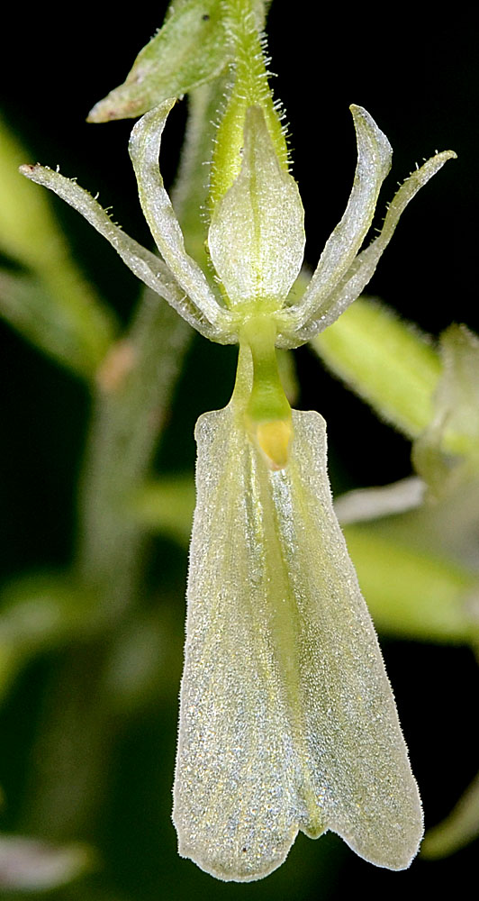
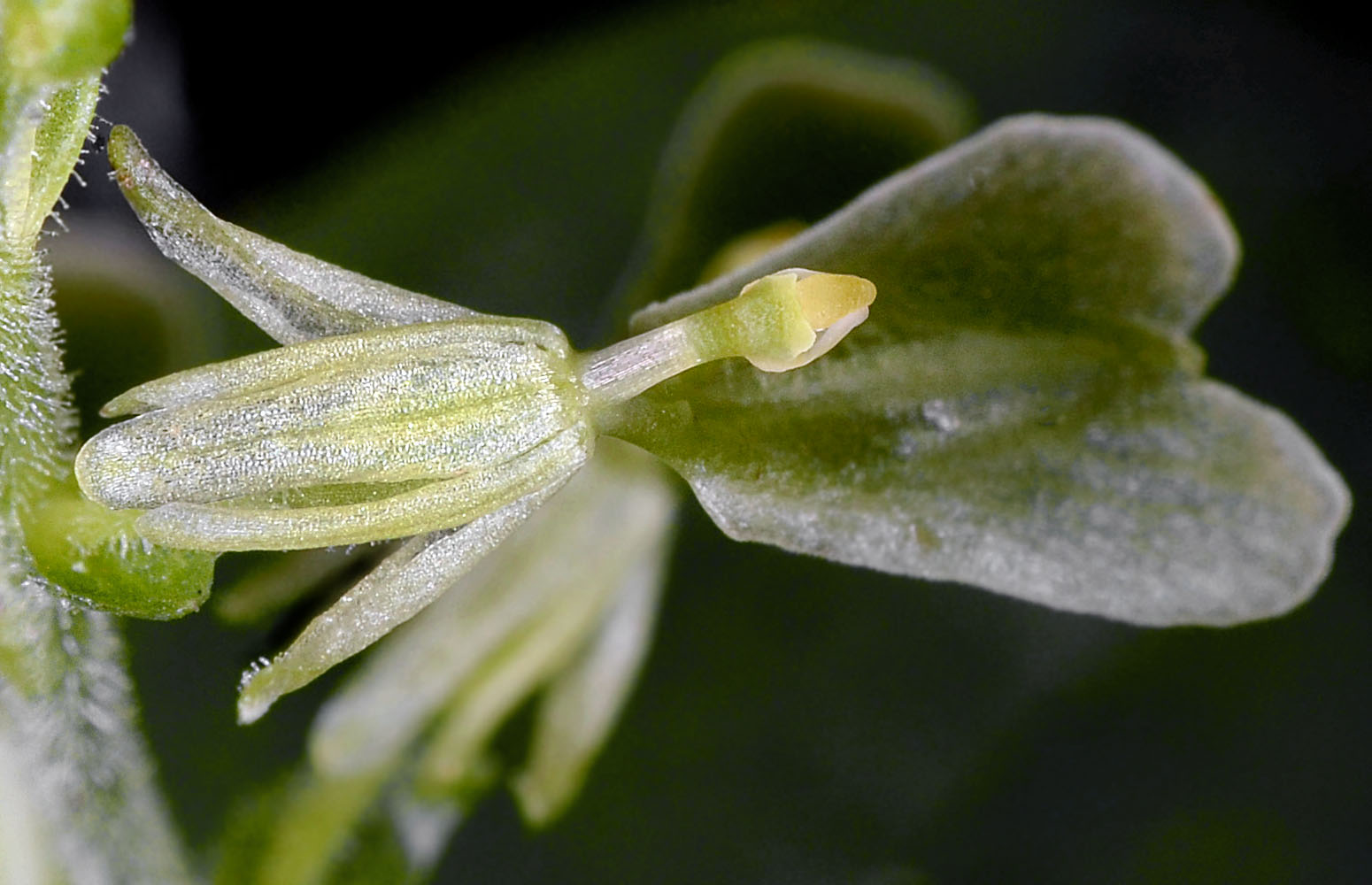
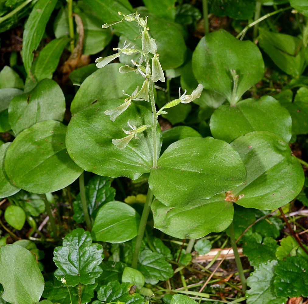
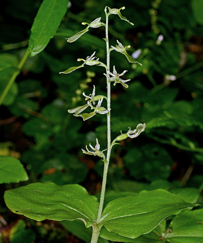
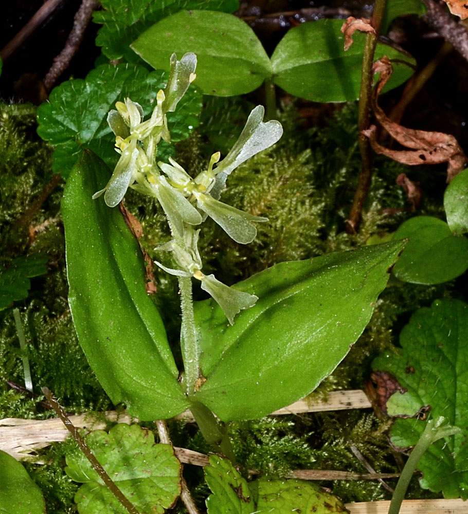
| Moon Point - Youngs Rock Trail, ca. 0.3 mi. SE of jct. to Moon Point, Warner Mt., ca. 13.8 air mi. SSE of Oakridge, 4948 ft. elev., N43.54544, W122.39252, Lane Co., OR, 8/10/2012 | Moon Point - Youngs Rock Trail, ca. 0.3 mi. SE of jct. to Moon Point, Warner Mt., ca. 13.8 air mi. SSE of Oakridge, 4948 ft. elev., N43.54544, W122.39252, Lane Co., OR, 8/10/2012 | Moon Point - Youngs Rock Trail, ca. 0.3 mi. SE of jct. to Moon Point, Warner Mt., ca. 13.8 air mi. SSE of Oakridge, 4948 ft. elev., N43.54544, W122.39252, Lane Co., OR, 8/10/2012 |
 |
 |
 |