| CR3, 0.5 mi. SE of jct. with Hwy 20, WSW of Kettle Falls, 1830 ft. elev.,
N 48.58669 W 118.16240, Ferry Co., WASHINGTON, 6/16/2013, © Robert L. Carr 2013 |
CR3, 0.5 mi. SE of jct. with Hwy 20, WSW of Kettle Falls, 1830 ft. elev.,
N 48.58669 W 118.16240, Ferry Co., WASHINGTON, 6/16/2013, © Robert L. Carr 2013 |
CR3, 0.5 mi. SE of jct. with Hwy 20, WSW of Kettle Falls, 1830 ft. elev.,
N 48.58669 W 118.16240, Ferry Co., WASHINGTON, 6/16/2013, © Robert L. Carr 2013 |
CR3, 0.5 mi. SE of jct. with Hwy 20, WSW of Kettle Falls, 1830 ft. elev.,
N 48.58669 W 118.16240, Ferry Co., WASHINGTON, 6/16/2013, © Robert L. Carr 2013 |
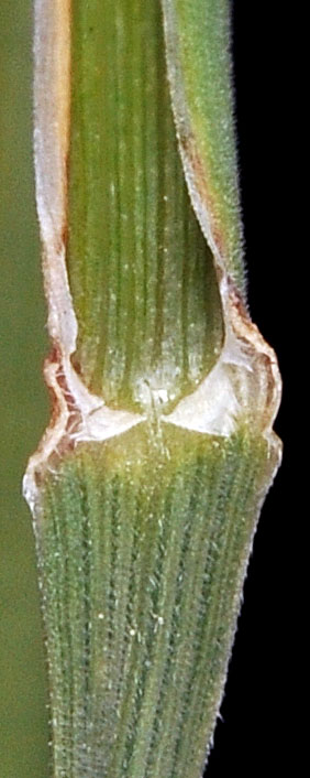
CR3, 0.5 mi. SE of jct. with Hwy 20, WSW of Kettle Falls, 1830 ft. elev.,
N 48.58669 W 118.16240, Ferry Co., WASHINGTON, 6/16/2013, © Robert L. Carr 2013 |