


| Oregon Flora Image Project | |
| Juncus bufonius L. | toad rush - native Juncaceae |
Click on an image for a larger version. All images © Gerald D. Carr unless otherwise noted.
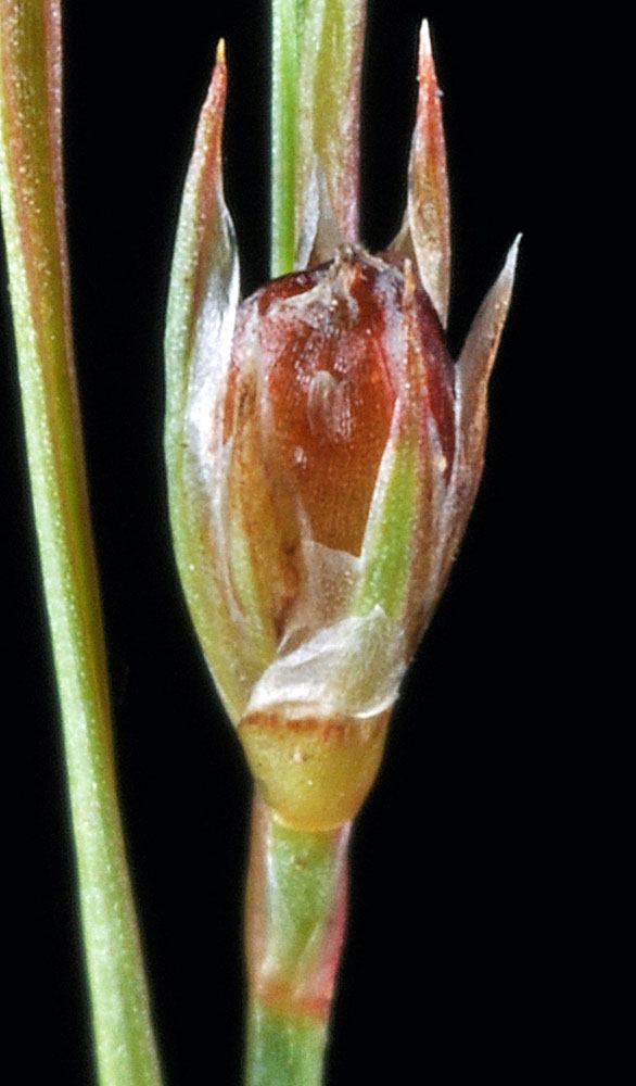
| Just S of Hwy 58 at Rolling Riffle Creek flood zone, 2.5 mi. SE of Minnow, N43.87709, W122.70370, 948 ft. elev., Lane Co., OR, 10/25/2011 | Just S of Hwy 58 at Rolling Riffle Creek flood zone, 2.5 mi. SE of Minnow, N43.87709, W122.70370, 948 ft. elev., Lane Co., OR, 10/25/2011 | Just S of Hwy 58 at Rolling Riffle Creek flood zone, 2.5 mi. SE of Minnow, N43.87709, W122.70370, 948 ft. elev., Lane Co., OR, 10/25/2011 | Just S of Hwy 58 at Rolling Riffle Creek flood zone, 2.5 mi. SE of Minnow, N43.87709, W122.70370, 948 ft. elev., Lane Co., OR, 10/25/2011 |
|
|
|
|
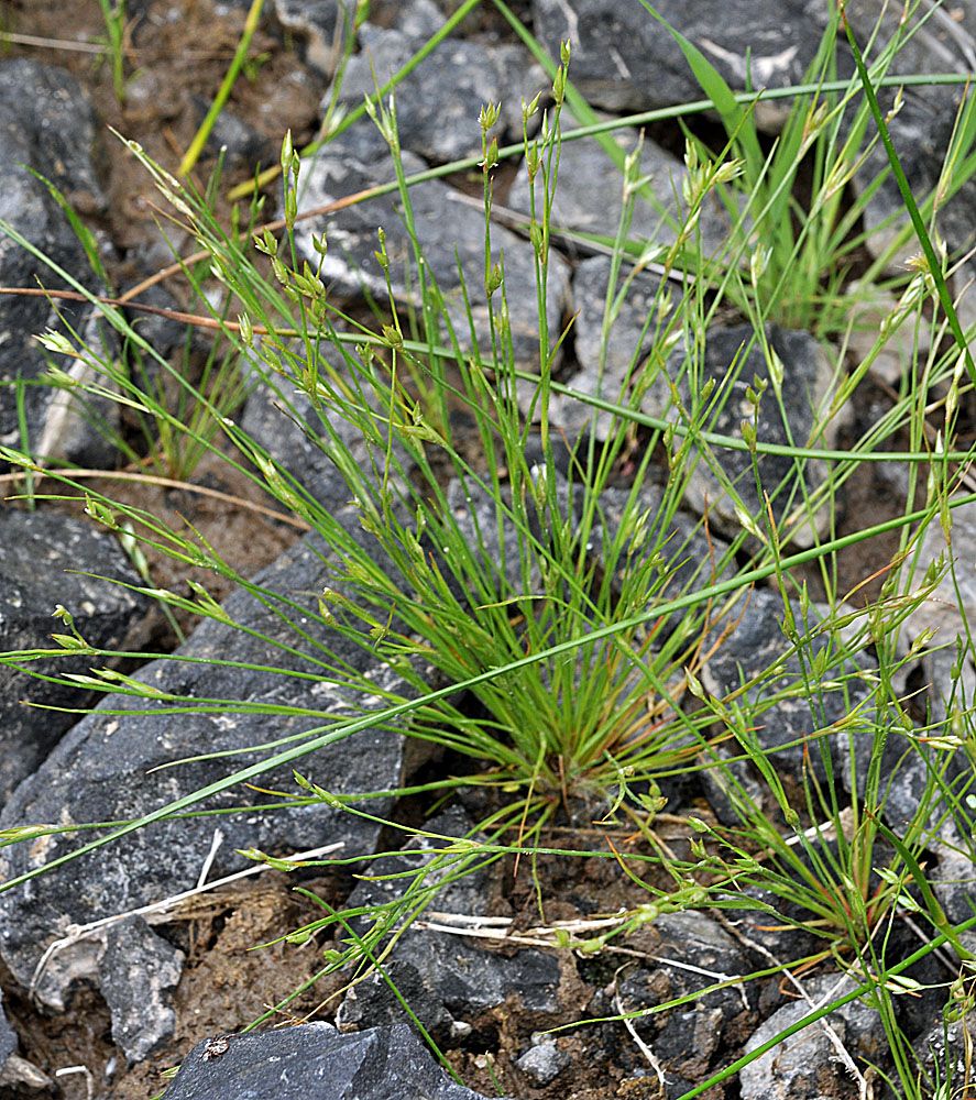
| Below bridge over Paha Creek, off Hwy 395, N47.02253, W118.48853, Paha, Adams Co., WASHINGTON, 6/10/2011, © Robert L. Carr | Below bridge over Paha Creek, off Hwy 395, N47.02253, W118.48853, Paha, Adams Co., WASHINGTON, 6/10/2011, © Robert L. Carr | Below bridge over Paha Creek, off Hwy 395, N47.02253, W118.48853, Paha, Adams Co., WASHINGTON, 6/10/2011, © Robert L. Carr |
 |
 |
 |