

| Oregon Flora Image Project | |
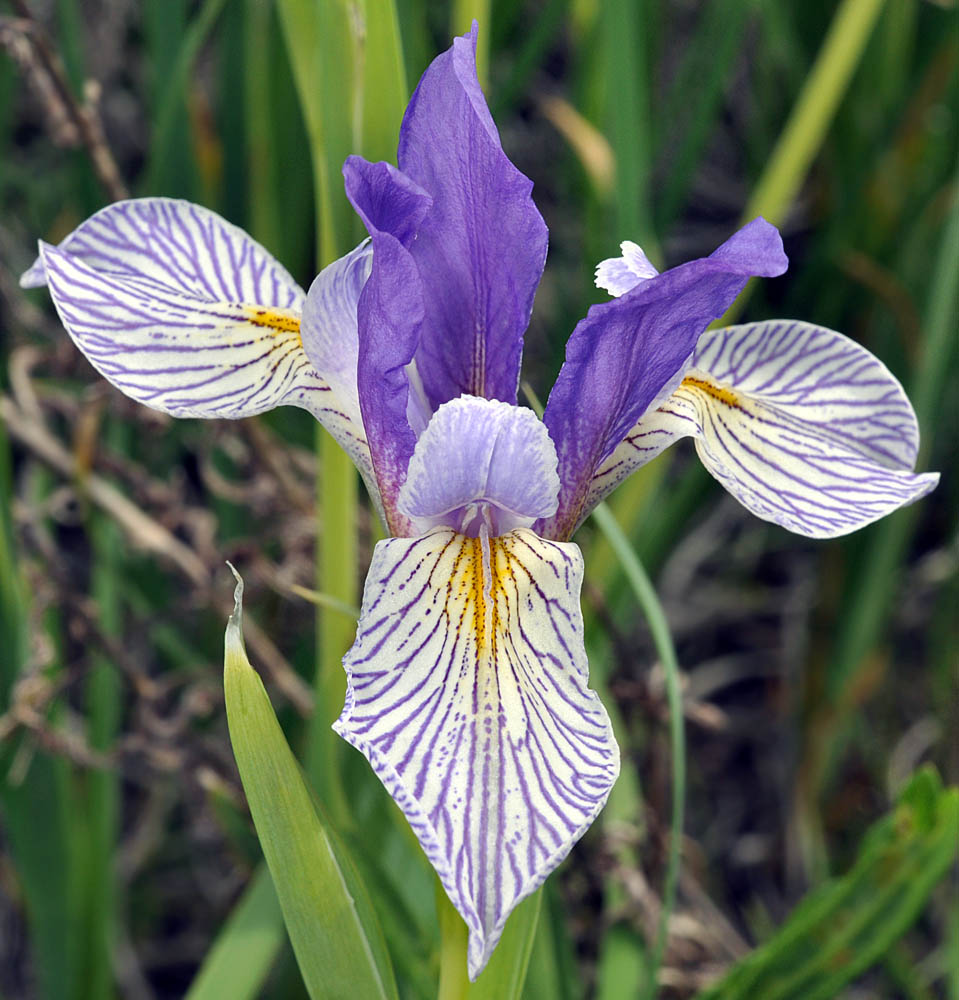
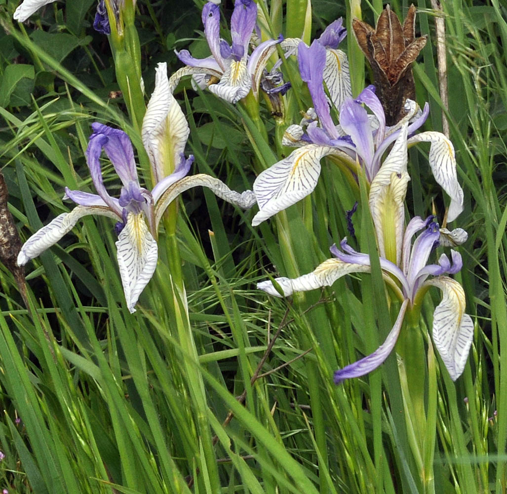
| Iris missouriensis Nutt. | western blue flag - native Iridaceae |
All images © Gerald D. Carr unless otherwise noted. Click on an image for a larger version.
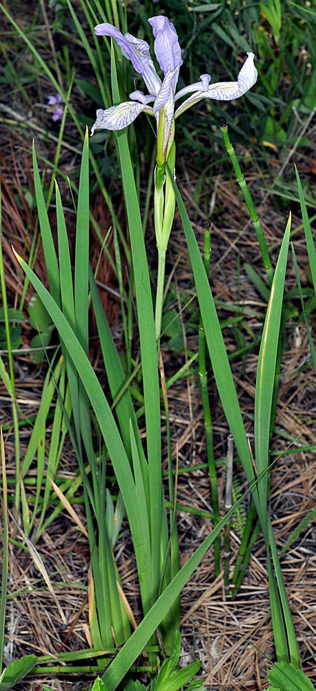
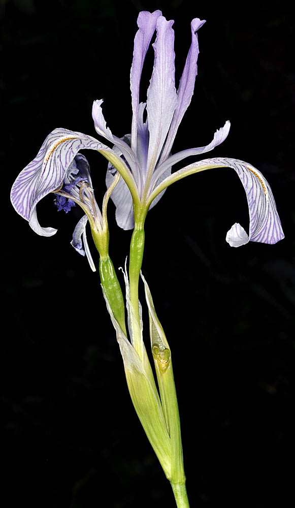
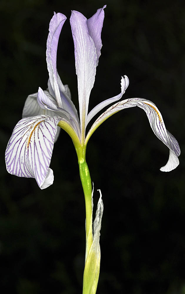
| Hwy 26, 6.0 mi. NE of jct. with Rocky Butte Rd., ca. 24 mi. NE of Prineville, 4130 ft. elev., N44.43785, W120.47400, Crook Co., OR, 7/6/2010 | Hwy 26, 6.0 mi. NE of jct. with Rocky Butte Rd., ca. 24 mi. NE of Prineville, 4130 ft. elev., N44.43785, W120.47400, Crook Co., OR, 7/6/2010 | Hwy 26, 6.0 mi. NE of jct. with Rocky Butte Rd., ca. 24 mi. NE of Prineville, 4130 ft. elev., N44.43785, W120.47400, Crook Co., OR, 7/6/2010 | Hwy 26, 6.0 mi. NE of jct. with Rocky Butte Rd., ca. 24 mi. NE of Prineville, 4130 ft. elev., N44.43785, W120.47400, Crook Co., OR, 7/6/2010 | Hwy 95, ca. 1.2 mi. SW of jct. with Danner Loop Rd., 6 mi. W of Jordan Valley, 4325 ft. elev., N42.97718, W117.16628, Malheur Co., OR, 6/2/2013 |
|
|
|
|
|
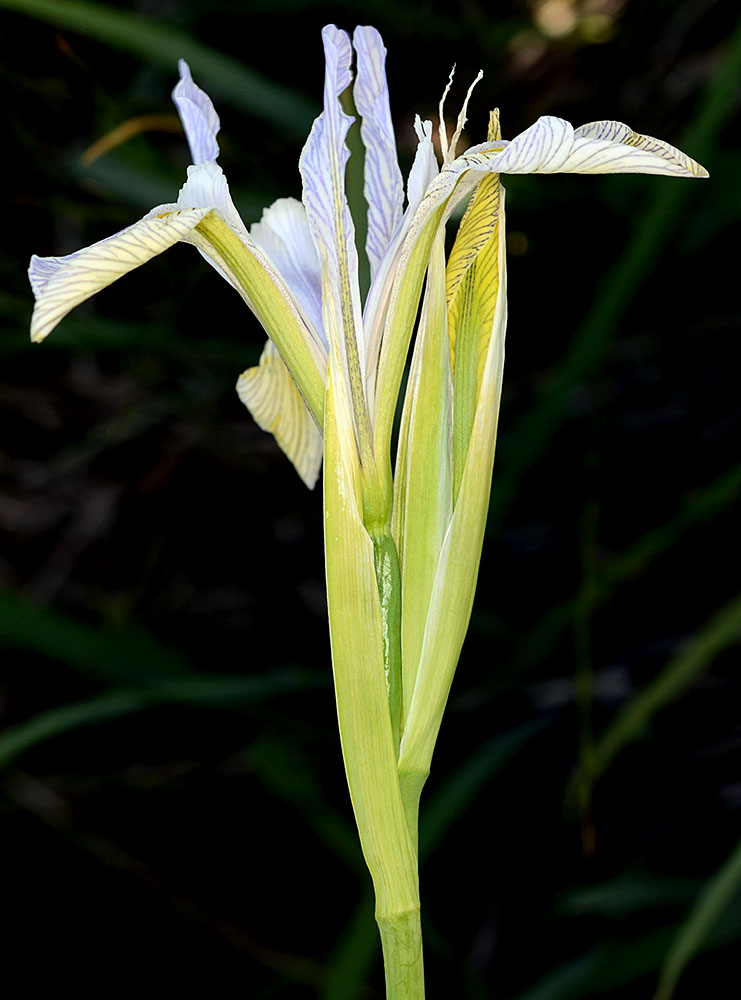
| Hwy 95, ca. 1.2 mi. SW of jct. with Danner Loop Rd., 6 mi. W of Jordan Valley, 4325 ft. elev., N42.97718, W117.16628, Malheur Co., OR, 6/2/2013 | Hwy 95, ca. 1.2 mi. SW of jct. with Danner Loop Rd., 6 mi. W of Jordan Valley, 4325 ft. elev., N42.97718, W117.16628, Malheur Co., OR, 6/2/2013 | Hwy 95, ca. 1.2 mi. SW of jct. with Danner Loop Rd., 6 mi. W of Jordan Valley, 4325 ft. elev., N42.97718, W117.16628, Malheur Co., OR, 6/2/2013 |
 |
 |
 |
| Hwy 25, 1.1 mi. N of Hansen Rd., N of Davenport, 2490 ft. elev., Lincoln Co., WASHINGTON, 5/16/2010, © Robert L. Carr | Hwy 25, 1.1 mi. N of Hansen Rd., N of Davenport, 2490 ft. elev., Lincoln Co., WASHINGTON, 5/16/2010, © Robert L. Carr | ||
 |
 |
| 1/4 mi. W of E entrance to BLM property (S of Fishtrap Lake), 2100 ft. elev., Spokane Co., WASHINGTON, 6/1/2009, © Robert L. Carr | 1/4 mi. W of E entrance to BLM property (S of Fishtrap Lake), 2100 ft. elev., Spokane Co., WASHINGTON, 6/1/2009, © Robert L. Carr | ||
 |
 |