| Oregon Flora Image Project | |
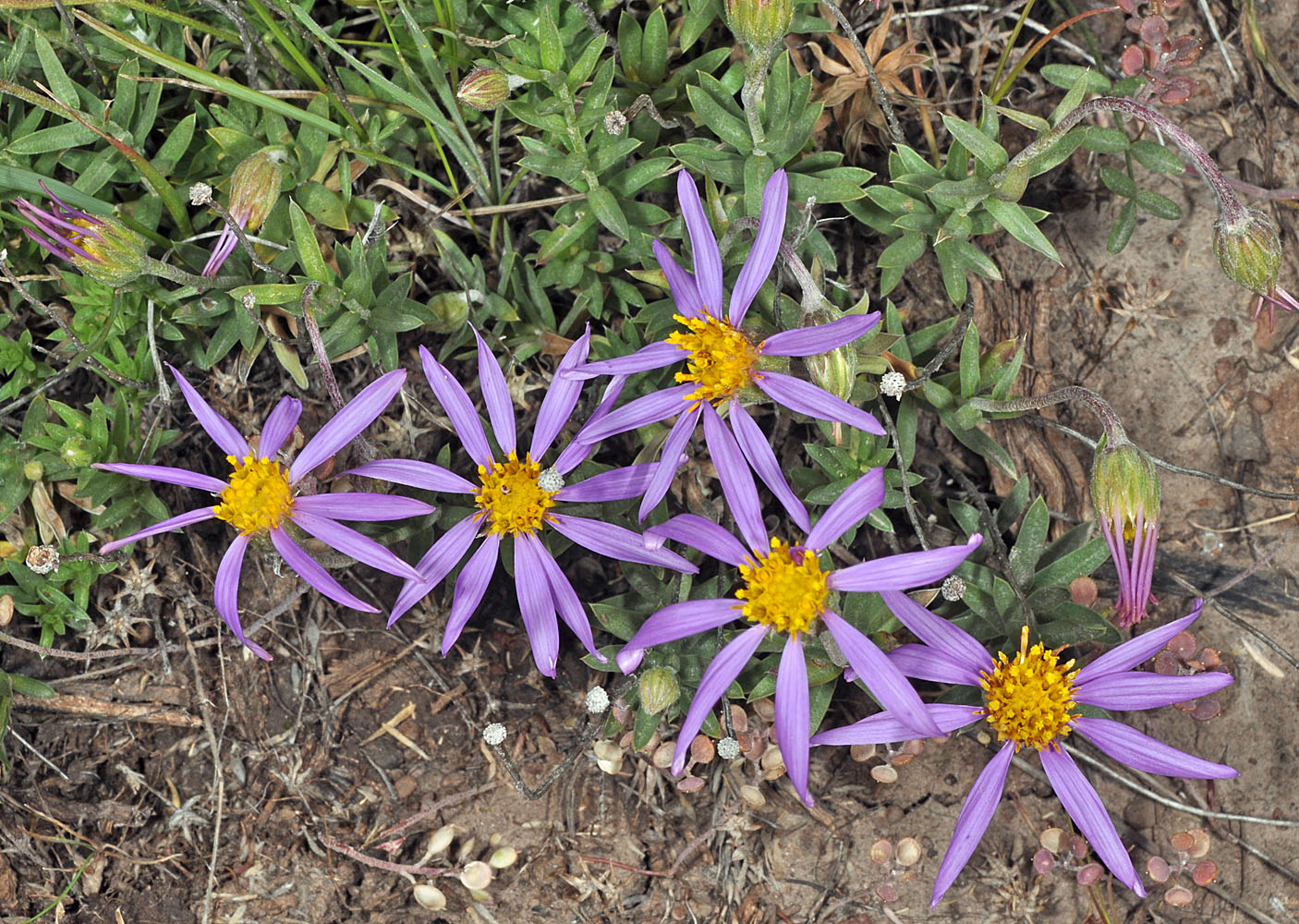
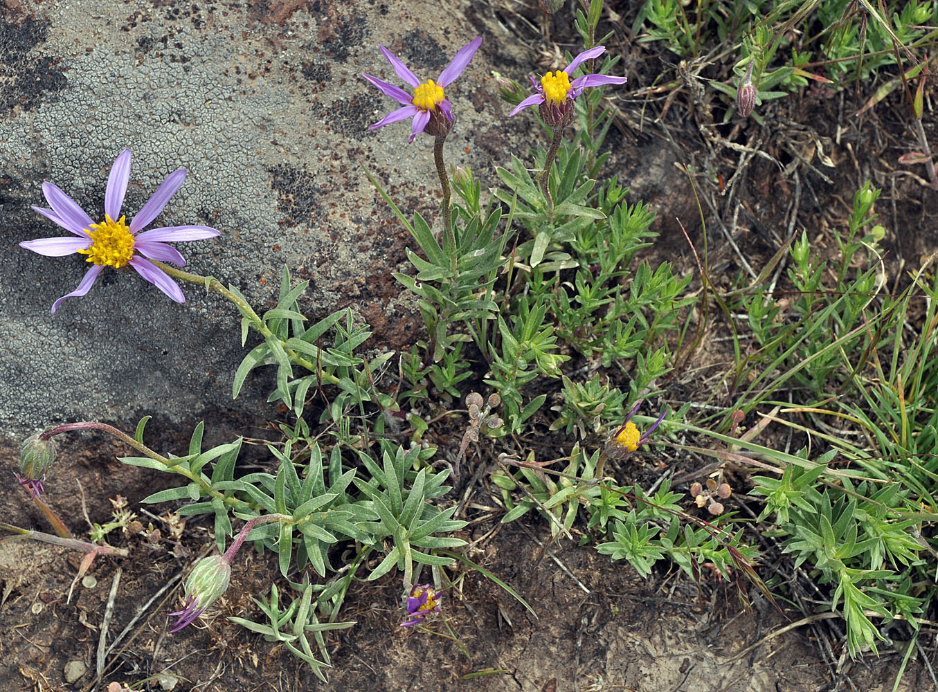
| Ionactis alpina (Nutt.) Greene | lava aster - native Asteraceae: Astereae |
Click on an image for a larger version. All images © Gerald D. Carr unless otherwise noted.
| Fields-Denio Rd., 6.1 mi. SW of jct. with SR 78, E of NE corner of Ten Cent Lake, W42.99598, W118.27613, 4315 ft. elev., Harney Co., OR, 6/4/2011 | Fields-Denio Rd., 6.1 mi. SW of jct. with SR 78, E of NE corner of Ten Cent Lake, W42.99598, W118.27613, 4315 ft. elev., Harney Co., OR, 6/4/2011 | ||
|
|
| Fields-Denio Rd., 6.1 mi. SW of jct. with SR 78, E of NE corner of Ten Cent Lake, W42.99598, W118.27613, 4315 ft. elev., Harney Co., OR, 6/4/2011 | Fields-Denio Rd., 6.1 mi. SW of jct. with SR 78, E of NE corner of Ten Cent Lake, W42.99598, W118.27613, 4315 ft. elev., Harney Co., OR, 6/4/2011 | Fields-Denio Rd., 6.1 mi. SW of jct. with SR 78, E of NE corner of Ten Cent Lake, W42.99598, W118.27613, 4315 ft. elev., Harney Co., OR, 6/4/2011 |
 |
 |
 |
| Fields-Denio Rd., 6.1 mi. SW of jct. with SR 78, E of NE corner of Ten Cent Lake, W42.99598, W118.27613, 4315 ft. elev., Harney Co., OR, 6/4/2011 | Catlow Valley Rd., 1.0 mi. SE of Long Hollow Summit, 4.3 mi. NW of jct. with Fields-Denio Rd., N42.30988, W118.73549, 5175 ft. elev., Harney Co., OR, 6/17/2011 | Catlow Valley Rd., 1.0 mi. SE of Long Hollow Summit, 4.3 mi. NW of jct. with Fields-Denio Rd., N42.30988, W118.73549, 5175 ft. elev., Harney Co., OR, 6/17/2011 |
 |
 |
 |
| N side of Squaw Butte Rd., 6.6 mi. SSE of Hwy 20, 4560 ft. elev., N43.46556, W119.68516, Harney Co., OR, 6/3/2013 | ||
 |