

| Oregon Flora Image Project | |
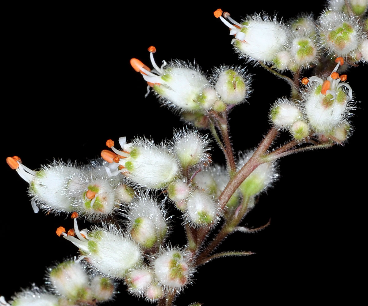
| Heuchera merriamii Eastw. | Merriam's heuchera - native Saxifragaceae |
Click on an image for a larger version. All images © Gerald D. Carr unless otherwise noted.
| Moon Point, end of Trail off USFS Rd. 439, ca. 13 air mi. S of Oakridge, N43.54511, W122.39869, 5122 ft. elev., Lane Co., OR, 7/6/2011 | Moon Point, end of Trail off USFS Rd. 439, ca. 13 air mi. S of Oakridge, N43.54511, W122.39869, 5122 ft. elev., Lane Co., OR, 7/25/2011 | ||
|
|
| Moon Point, end of Trail off USFS Rd. 439, ca. 13 air mi. S of Oakridge, N43.54511, W122.39869, 5122 ft. elev., Lane Co., OR, 7/25/2011 | Moon Point, end of Trail off USFS Rd. 439, ca. 13 air mi. S of Oakridge, N43.54511, W122.39869, 5122 ft. elev., Lane Co., OR, 7/25/2011 | Moon Point, end of Trail off USFS Rd. 439, ca. 13 air mi. S of Oakridge, N43.54511, W122.39869, 5122 ft. elev., Lane Co., OR, 7/25/2011 |
 |
 |
 |
| Moon Point, end of Trail off USFS Rd. 439, ca. 13 air mi. S of Oakridge, N43.54511, W122.39869, 5122 ft. elev., Lane Co., OR, 7/25/2011 | Moon Point, end of Trail off USFS Rd. 439, ca. 13 air mi. S of Oakridge, N43.54511, W122.39869, 5122 ft. elev., Lane Co., OR, 7/25/2011 | ||
 |
 |