

| Oregon Flora Image Project | |
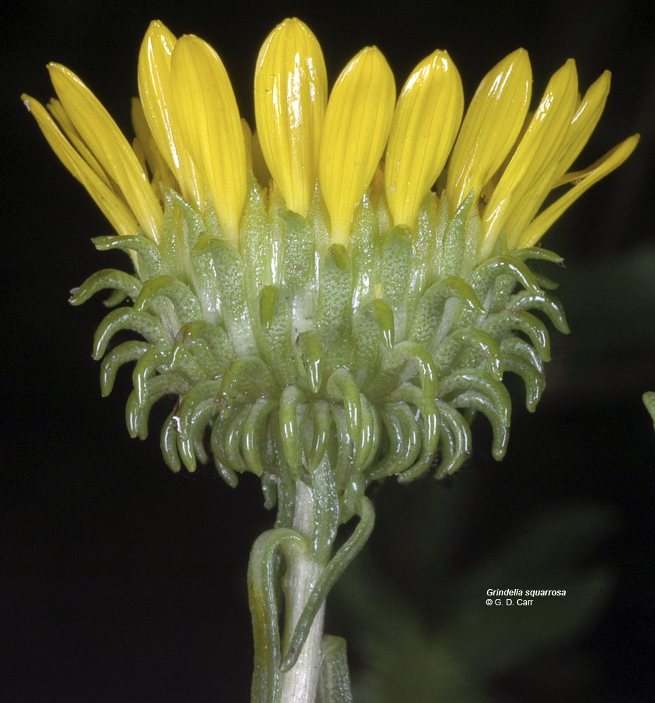
| Grindelia squarrosa (Pursh) Dunal var. serrulata (Rydb.) Steyerm. | curlycup gumweed - native Asteraceae: Astereae |
Click on an image for a larger version. All images © Gerald D. Carr unless otherwise noted.
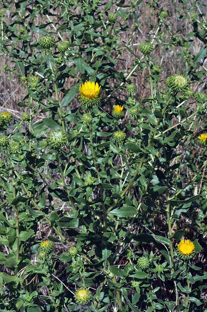
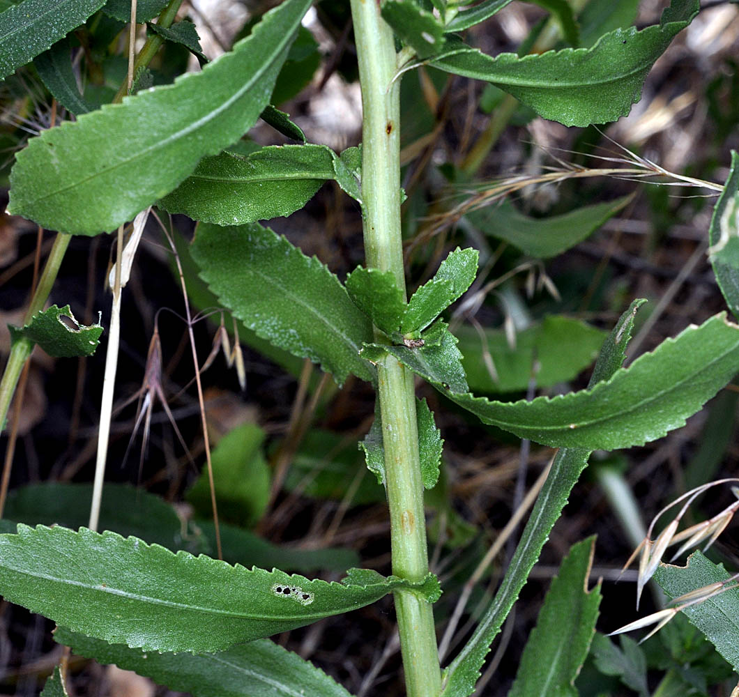
| Steptoe Canyon rd., 7.1 mi. S of Hwy 195 at Colton, 1550 ft. elev., N46.48488, W117.18498, Whitman Co., WASHINGTON, 7/24/2010 (© Robert L. Carr) | Steptoe Canyon rd., 7.1 mi. S of Hwy 195 at Colton, 1550 ft. elev., N46.48488, W117.18498, Whitman Co., WASHINGTON, 7/24/2010 (© Robert L. Carr) | Steptoe Canyon rd., 7.1 mi. S of Hwy 195 at Colton, 1550 ft. elev., N46.48488, W117.18498, Whitman Co., WASHINGTON, 7/24/2010 (© Robert L. Carr) | Steptoe Canyon rd., 7.1 mi. S of Hwy 195 at Colton, 1550 ft. elev., N46.48488, W117.18498, Whitman Co., WASHINGTON, 7/24/2010 (© Robert L. Carr) |
|
|
|
|
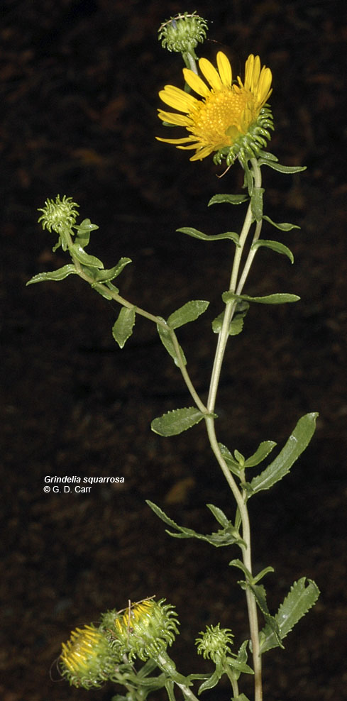
| Hwy 21/25 at mouth of Sanpoil R. (Keller Ferry landing), Ferry Co., WASHINGTON, 7/13/2007 | Hwy 21/25 at mouth of Sanpoil R. (Keller Ferry landing), Ferry Co., WASHINGTON, 7/13/2007 | Hwy 21/25 at mouth of Sanpoil R. (Keller Ferry landing), Ferry Co., WASHINGTON, 7/13/2007 |
 |
 |
 |
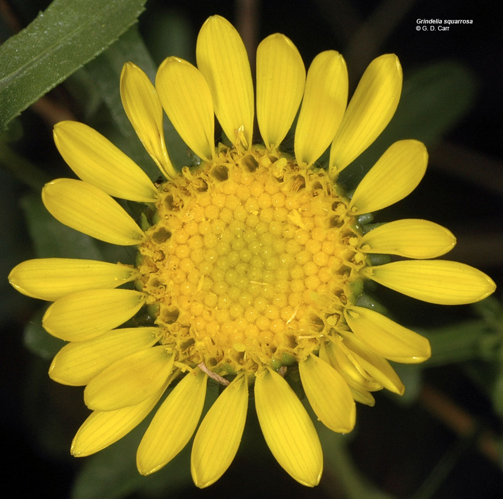
| Hwy 21/25 at mouth of Sanpoil R. (Keller Ferry landing), Ferry Co., WASHINGTON, 7/13/2007 | Hwy 21/25 at mouth of Sanpoil R. (Keller Ferry landing), Ferry Co., WASHINGTON, 7/13/2007 | ||
 |
 |