


| Oregon Flora Image Project | |
| Grayia spinosa (Hook.) Moq. | hopsage - native Amaranthaceae (Chenopodiaceae) |
Click on an image for a larger version. All images © Gerald D. Carr unless otherwise noted.
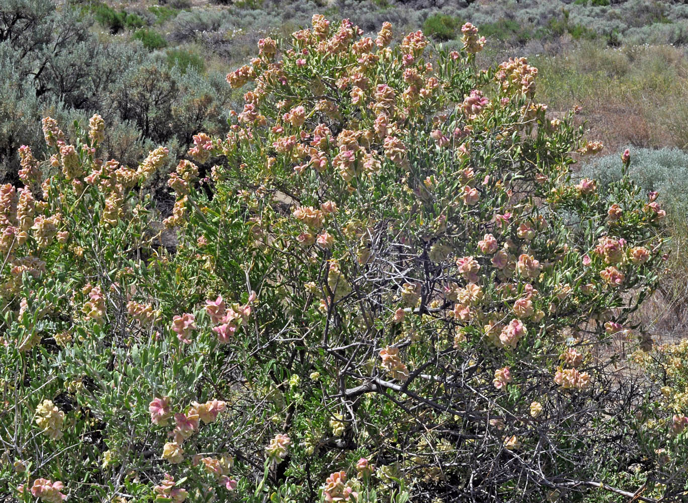
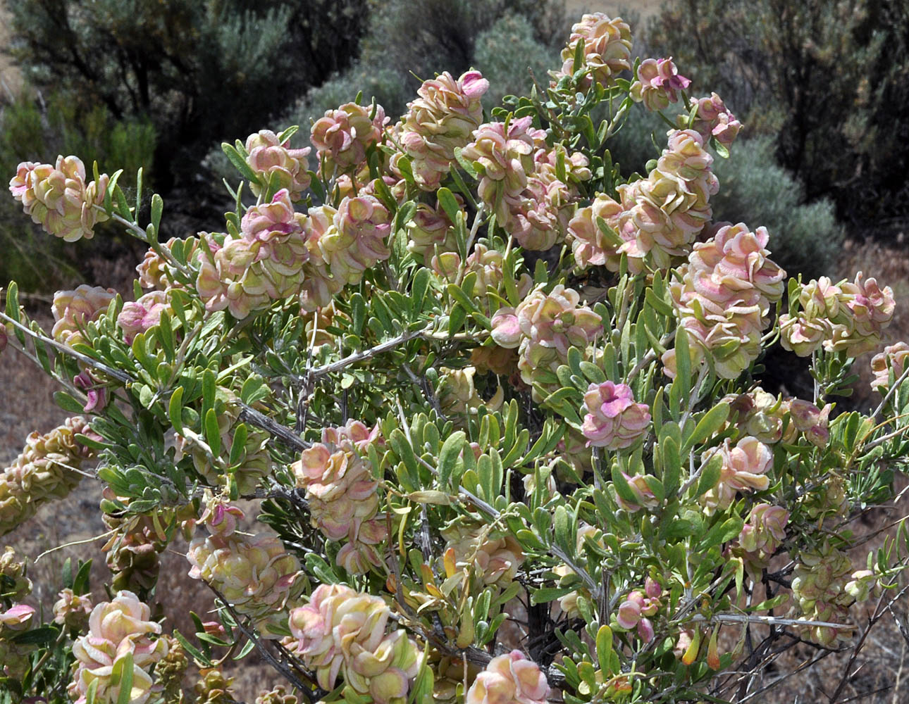
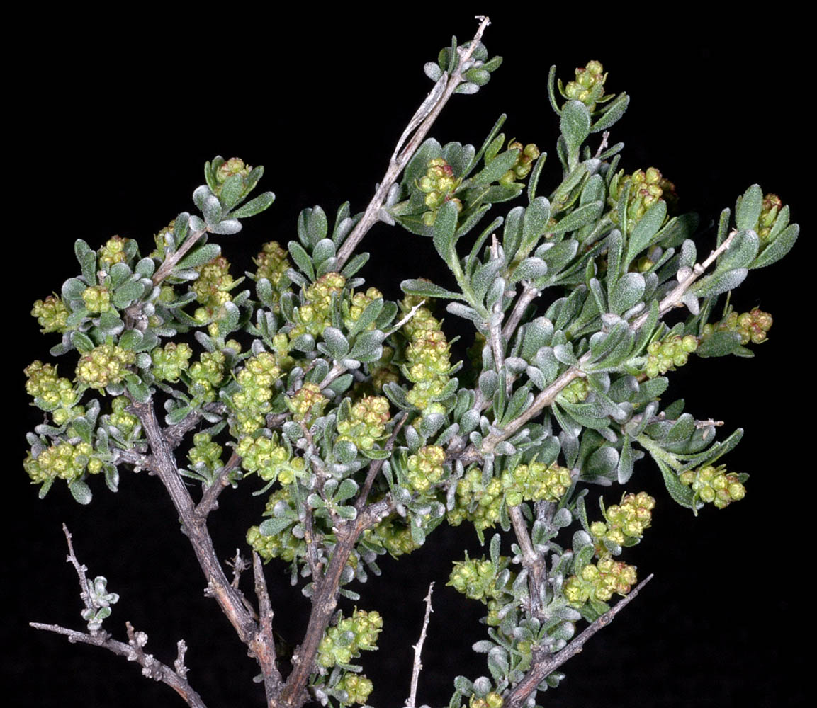
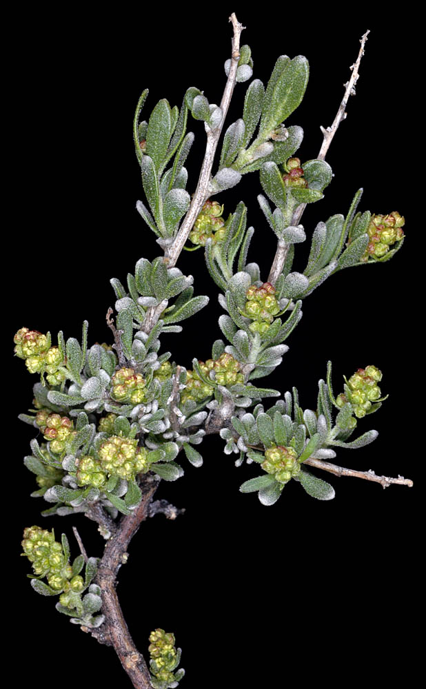
| Rd. to Mickey Hot Springs, ca. 2.5 mi. E of Fields-Denio Rd., N42.65845, W118.40884, 4125 ft. elev., Harney Co., OR, 6/4/2011 (female) | Rd. to Mickey Hot Springs, ca. 2.5 mi. E of Fields-Denio Rd., N42.65845, W118.40884, 4125 ft. elev., Harney Co., OR, 6/4/2011 (female) | Along Kennedy Rd., ca. 500 yds. W of Duportail St., N 46.25811 W119.32476, Richland, Benton Co., WASHINGTON, 4/13/2011, © Robert L. Carr | Along Kennedy Rd., ca. 500 yds. W of Duportail St., N 46.25811 W119.32476, Richland, Benton Co., WASHINGTON, 4/13/2011, © Robert L. Carr |
|
|
|
|
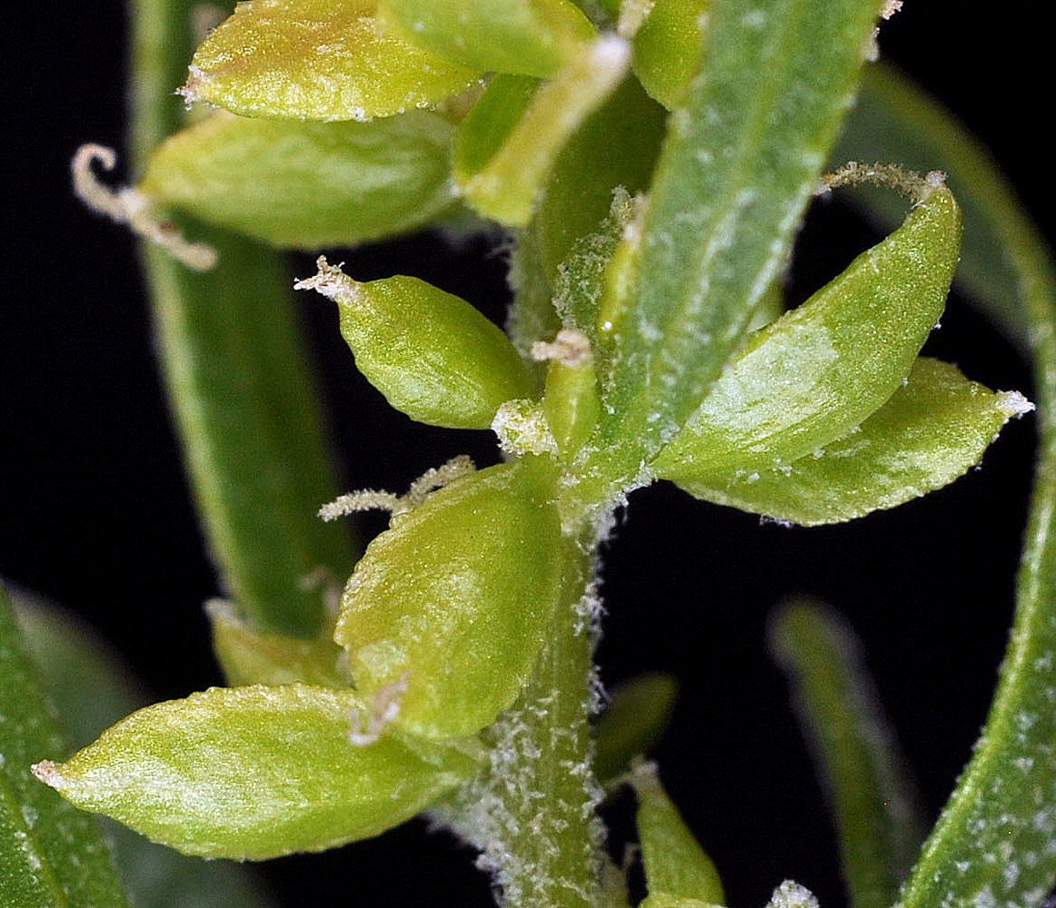
| Hwy 24, 0.9 mi. NE of Vernita Bridge (Columbia River), 470 ft. elev., N46.65017, W119.72352, Grant Co., WASHINGTON, 5/28/2009 (fruit) © Robert L. Carr | Hwy 24, 0.9 mi. NE of Vernita Bridge (Columbia River), 470 ft. elev., N46.65017, W119.72352, Grant Co., WASHINGTON, 5/28/2009 (fruit) © Robert L. Carr | ||
 |
 |
| Hwy 24, 0.9 mi. NE of Vernita Bridge (Columbia River), 470 ft. elev., N46.65017, W119.72352, Grant Co., WASHINGTON, 5/28/2009 (fruit) © Robert L. Carr | Along Kennedy Rd., ca. 500 yds. W of Duportail St., N 46.25811 W119.32476, Richland, Benton Co., WASHINGTON, 4/13/2011, © Robert L. Carr | Hwy 17, 2.5 mi. SW of Dry Falls Jct (Hwy 2), 47.60273N, 119.37263, Grant Co., WASHINGTON, 5/1/2008 (male) |
 |
 |
 |
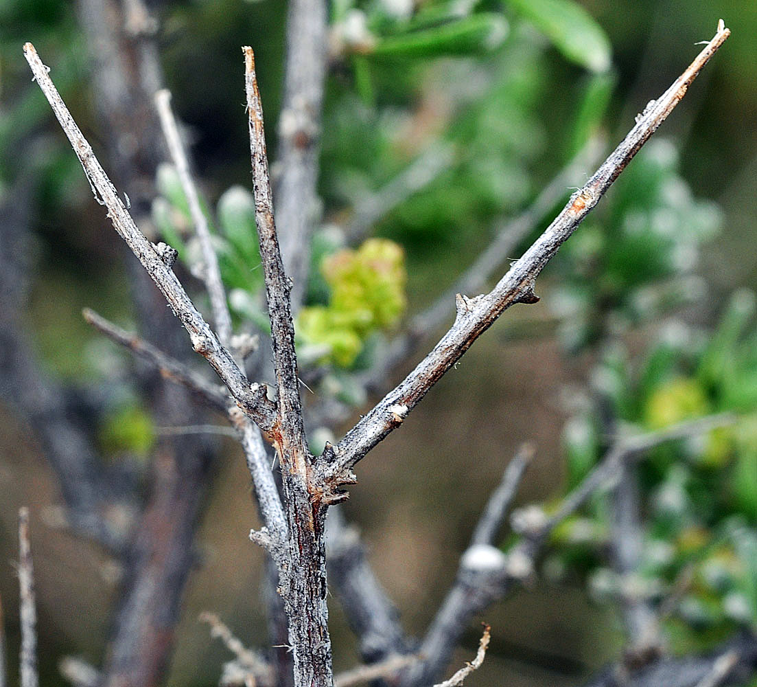
| Hwy 17, 2.5 mi. SW of Dry Falls Jct (Hwy 2), 47.60273N, 119.37263, Grant Co., WASHINGTON, 5/1/2008 (male) | Hwy 17, 2.5 mi. SW of Dry Falls Jct (Hwy 2), 47.60273N, 119.37263, Grant Co., WASHINGTON, 5/1/2008 (male) | Hwy 17, 2.5 mi. SW of Dry Falls Jct (Hwy 2), 47.60273N, 119.37263, Grant Co., WASHINGTON, 5/1/2008 (male) |
 |
 |
 |
| Hwy 17, 2.5 mi. SW of Dry Falls Jct (Hwy 2), 47.60273N, 119.37263, Grant Co., WASHINGTON, 5/1/2008 (male) | ||
 |