

| Oregon Flora Image Project | |
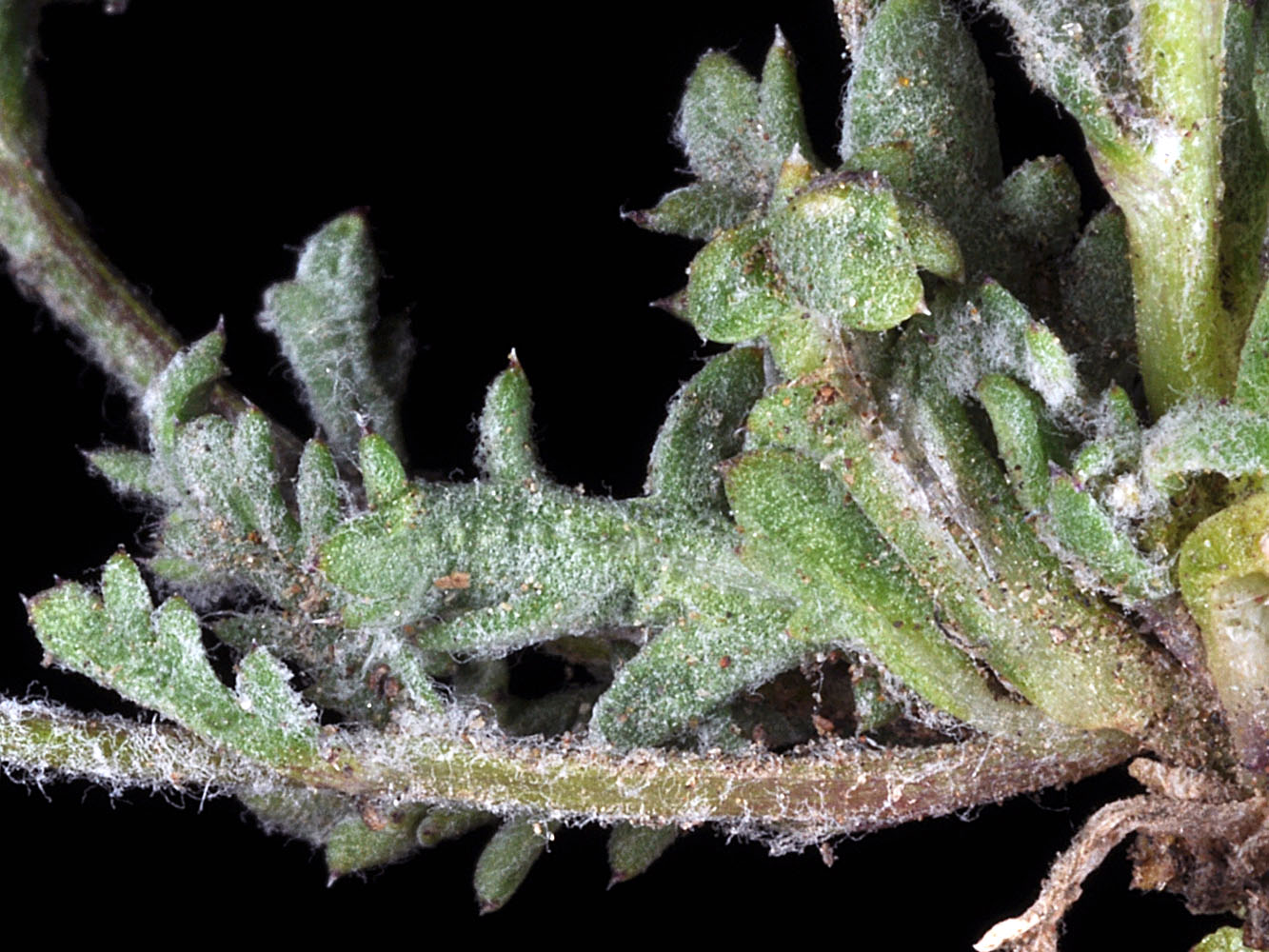
| Gilia inconspicua (Sm.) Sweet | shy gilia -
native Polemoniaceae |
Click on an image for a larger version. All images © Gerald D. Carr unless otherwise noted.
| Rd. to Mickey Hot Springs, ca. 2.5 mi. E of Fields-Denio Rd., N42.65845, W118.40884, 4125 ft. elev., Harney Co., OR, 6/4/2011 | Rd. to Mickey Hot Springs, ca. 2.5 mi. E of Fields-Denio Rd., N42.65845, W118.40884, 4125 ft. elev., Harney Co., OR, 6/4/2011 | Rd. to Mickey Hot Springs, ca. 2.5 mi. E of Fields-Denio Rd., N42.65845, W118.40884, 4125 ft. elev., Harney Co., OR, 6/4/2011 |
|
|
|
| Rd. to Mickey Hot Springs, ca. 2.5 mi. E of Fields-Denio Rd., N42.65845, W118.40884, 4125 ft. elev., Harney Co., OR, 6/4/2011 | Rd. to Mickey Hot Springs, ca. 2.5 mi. E of Fields-Denio Rd., N42.65845, W118.40884, 4125 ft. elev., Harney Co., OR, 6/4/2011 | Rd. to Mickey Hot Springs, ca. 2.5 mi. E of Fields-Denio Rd., N42.65845, W118.40884, 4125 ft. elev., Harney Co., OR, 6/4/2011 |
 |
 |
 |
| Domingo Pass Rd., 1.1 mi. W of jct. with Hwy 205, S of Fields, N42.32096, W118.65573, 4412 ft. elev., Harney Co., OR, 6/4/2011 | Domingo Pass Rd., 1.1 mi. W of jct. with Hwy 205, S of Fields, N42.32096, W118.65573, 4412 ft. elev., Harney Co., OR, 6/4/2011 | Domingo Pass Rd., 1.1 mi. W of jct. with Hwy 205, S of Fields, N42.32096, W118.65573, 4412 ft. elev., Harney Co., OR, 6/4/2011 |
 |
 |
 |
| Summit of Badger Mountain, S of Richland, 1570 ft. elev., N46.23420, W119.32076, Benton Co., WASHINGTON, 4/11/2007 [© R. L. Carr, 2011] | Summit of Badger Mountain, S of Richland, 1570 ft. elev., Benton Co., WASHINGTON, 4/11/2007 [© R. L. Carr, 2011] | Summit of Badger Mountain, S of Richland, 1570 ft. elev., Benton Co., WASHINGTON, 4/11/2007 [© R. L. Carr, 2011] |
 |
 |
 |
| Summit of Badger Mountain, S of Richland, 1570 ft. elev., Benton Co., WASHINGTON, 4/11/2007 [© R. L. Carr, 2011] | Summit of Badger Mountain, S of Richland, 1570 ft. elev., Benton Co., WASHINGTON, 4/11/2007 [© R. L. Carr, 2011] | ||
 |
 |