
| Oregon Flora Image Project | |
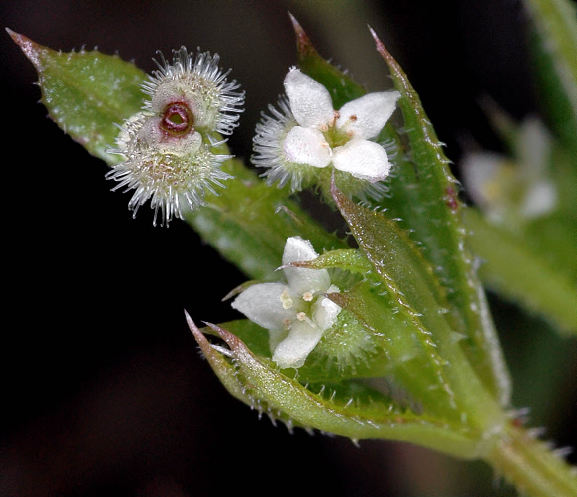
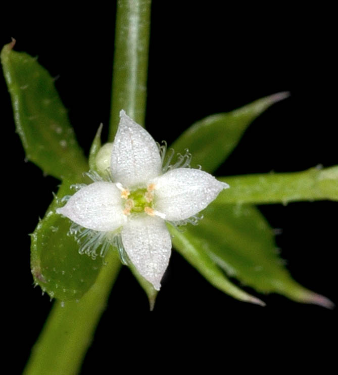
| Galium aparine L. | stickywilly - native Rubiaceae |
Click on an image for a larger version. All images © Gerald D. Carr unless otherwise noted.
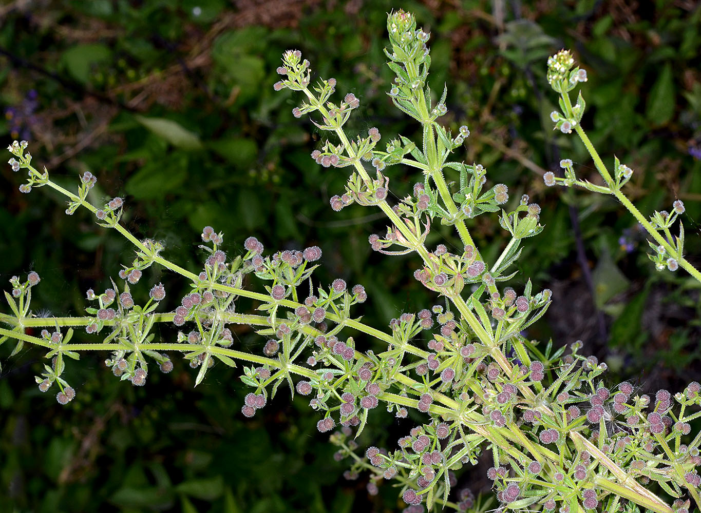
| Banks of irrigation canal on S side of SR 126, 0.8 mi. W of Powell Butte, 10.5 mi. WSW of jct. with Hwy 26 at Prineville, 3107 ft. elev., N44.24759, W121.03359, Crook Co., OR, 8/26/2015 | Banks of irrigation canal on S side of SR 126, 0.8 mi. W of Powell Butte, 10.5 mi. WSW of jct. with Hwy 26 at Prineville, 3107 ft. elev., N44.24759, W121.03359, Crook Co., OR, 8/26/2015 | ||
|
|
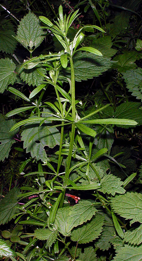
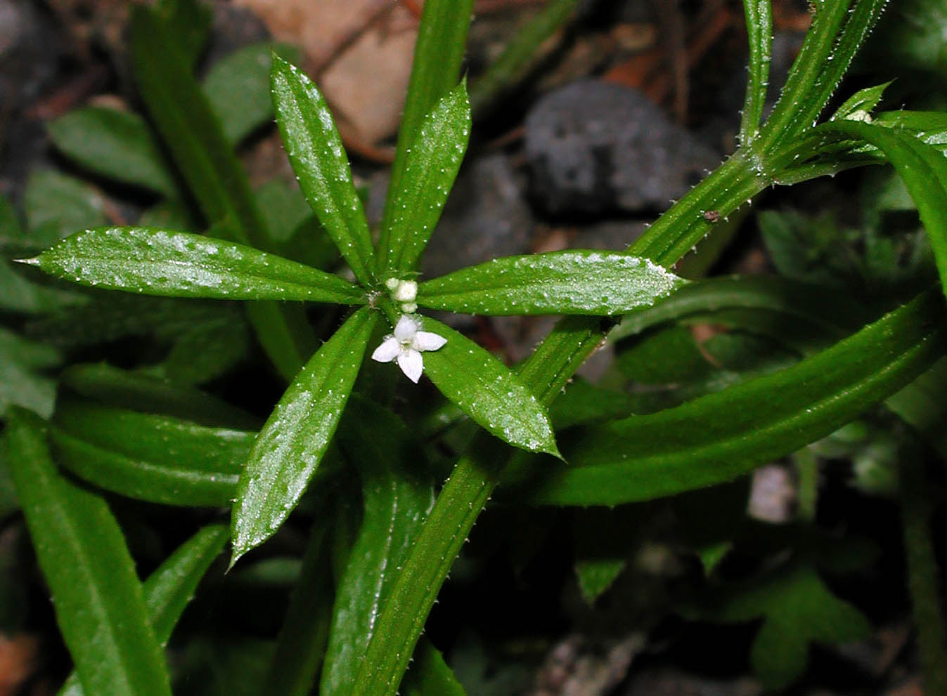
| Banks of irrigation canal on S side of SR 126, 0.8 mi. W of Powell Butte, 10.5 mi. WSW of jct. with Hwy 26 at Prineville, 3107 ft. elev., N44.24759, W121.03359, Crook Co., OR, 8/26/2015 | Banks of irrigation canal on S side of SR 126, 0.8 mi. W of Powell Butte, 10.5 mi. WSW of jct. with Hwy 26 at Prineville, 3107 ft. elev., N44.24759, W121.03359, Crook Co., OR, 8/26/2015 | Jacksonville cemetery grounds, Jackson Co., OR, 4/11/2006 |
 |
 |
 |
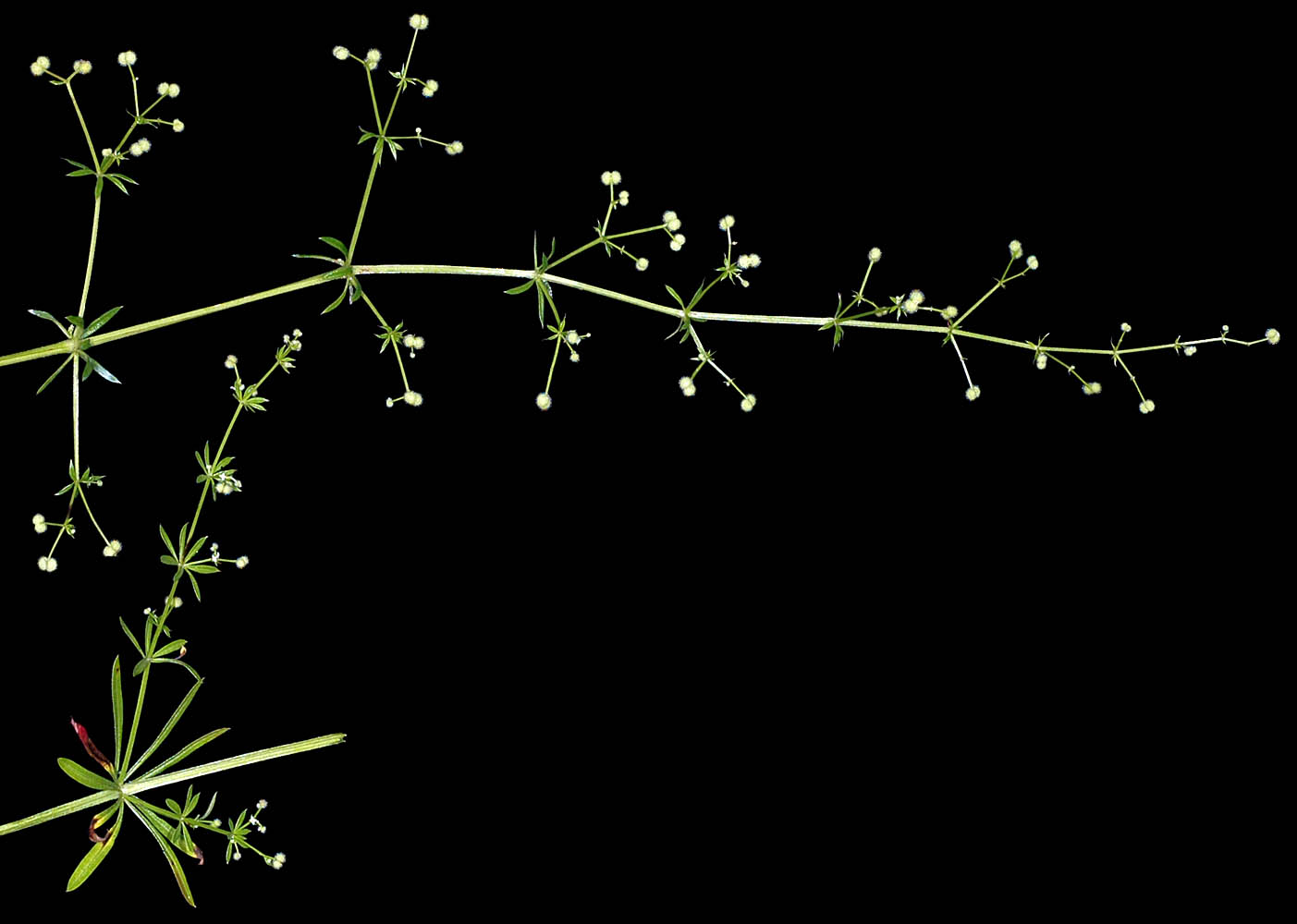
| Vicinity of Alsea Falls, S of Alsea, Benton Co., OR, 5/17/2002 | Vicinity of Alsea Falls, S of Alsea, Benton Co., OR, 5/17/2002 | Natural area 1/4 mi. E of intersection of SW Pomona Dr. & SW 190th Ave., Beaverton, Washington Co., OR, 6/13/2006 |
 |
 |
 |
| Jacksonville cemetery grounds, Jackson Co., OR, 4/11/2006 | Natural area 1/4 mi. E of intersection of SW Pomona Dr. & SW 190th Ave., Beaverton, Washington Co., OR, 6/13/2006 | Natural area 1/4 mi. E of intersection of SW Pomona Dr. & SW 190th Ave., Beaverton, Washington Co., OR, 6/13/2006 |
 |
 |
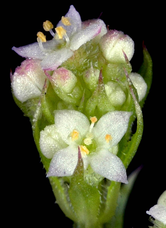 |
| Natural area 1/4 mi. E of intersection of SW Pomona Dr. & SW 190th Ave., Beaverton, Washington Co., OR, 6/13/2006 | Natural area 1/4 mi. E of intersection of SW Pomona Dr. & SW 190th Ave., Beaverton, Washington Co., OR, 6/13/2006 | Natural area 1/4 mi. E of intersection of SW Pomona Dr. & SW 190th Ave., Beaverton, Washington Co., OR, 6/13/2006 |
 |
 |
 |