


| Oregon Flora Image Project | |
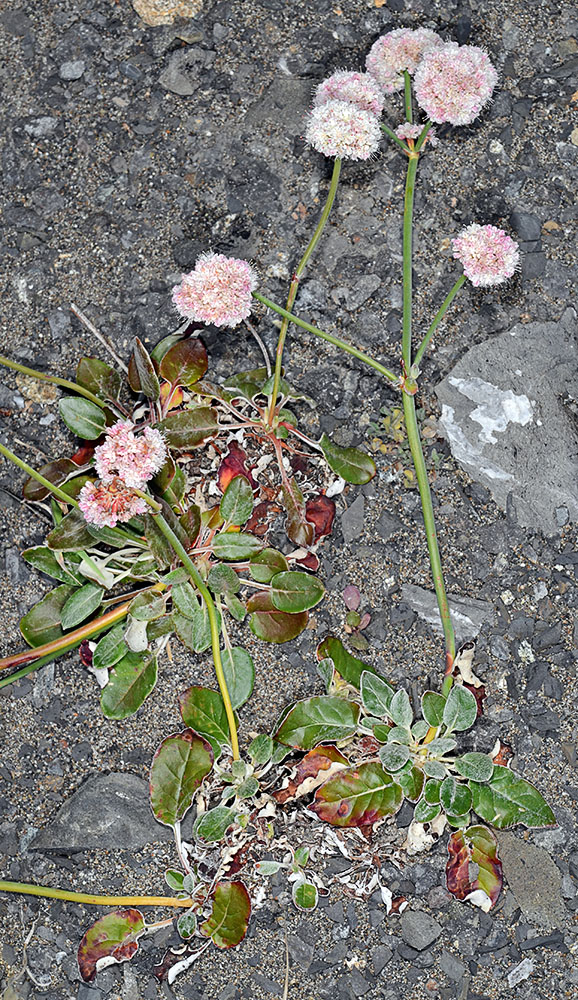
| Eriogonum latifolium Sm. | seaside buckwheat -
native Polygonaceae |
Click on an image for a larger version. All images © Gerald D. Carr unless otherwise noted.
| Hwy 101, just NW of Humbug Mt., 4.7 mi. S of Port Orford, 124 ft. elev., N42.68816, W124.44709, Curry Co., OR, 8/8/2012 | Hwy 101, just NW of Humbug Mt., 4.7 mi. S of Port Orford, 124 ft. elev., N42.68816, W124.44709, Curry Co., OR, 8/8/2012 | Hwy 101, just NW of Humbug Mt., 4.7 mi. S of Port Orford, 124 ft. elev., N42.68816, W124.44709, Curry Co., OR, 8/8/2012 | Hwy 101, just NW of Humbug Mt., 4.7 mi. S of Port Orford, 124 ft. elev., N42.68816, W124.44709, Curry Co., OR, 8/8/2012 |
|
|
|
|
| Hwy 101, just NW of Humbug Mt., 4.7 mi. S of Port Orford, 124 ft. elev., N42.68816, W124.44709, Curry Co., OR, 8/8/2012 | Hwy 101, just NW of Humbug Mt., 4.7 mi. S of Port Orford, 124 ft. elev., N42.68816, W124.44709, Curry Co., OR, 8/8/2012 | Hwy 101, just NW of Humbug Mt., 4.7 mi. S of Port Orford, 124 ft. elev., N42.68816, W124.44709, Curry Co., OR, 8/8/2012 |
 |
 |
 |