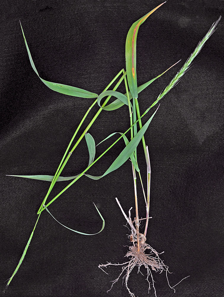
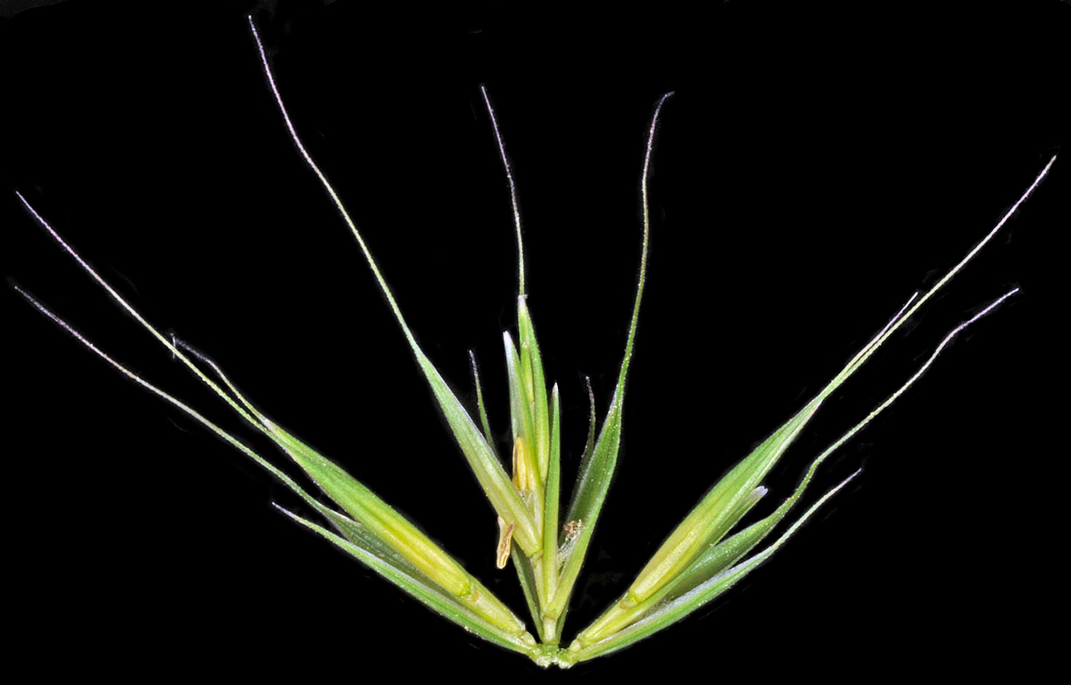
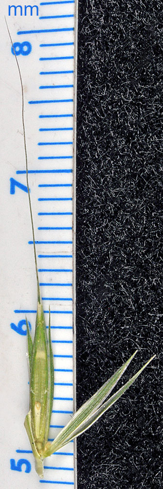
| along Sherman Creek, off Hwy 20, 9.6 mi. SW of jct. with Hwy 395, W of Kettle Falls, 2395 ft. elev.,
N48.57745 W118.28328, Ferry Co., WASHINGTON, 6/29/2015, © Robert L. Carr |
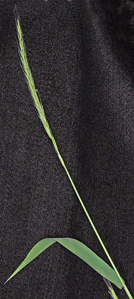
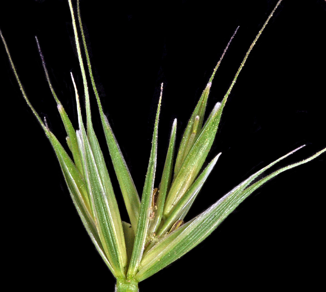
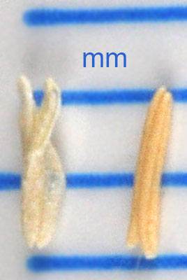
along Sherman Creek, off Hwy 20, 9.6 mi. SW of jct. with Hwy 395, W of Kettle Falls, 2395 ft. elev.,
N48.57745 W118.28328, Ferry Co., WASHINGTON, 6/29/2015, © Robert L. Carr |
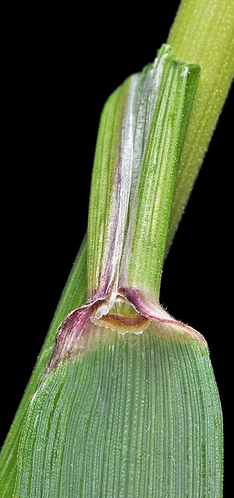
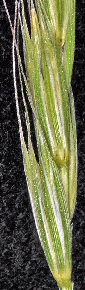
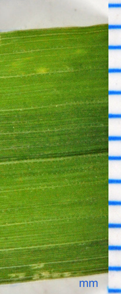
along Sherman Creek, off Hwy 20, 9.6 mi. SW of jct. with Hwy 395, W of Kettle Falls, 2395 ft. elev.,
N48.57745 W118.28328, Ferry Co., WASHINGTON, 6/29/2015, © Robert L. Carr |
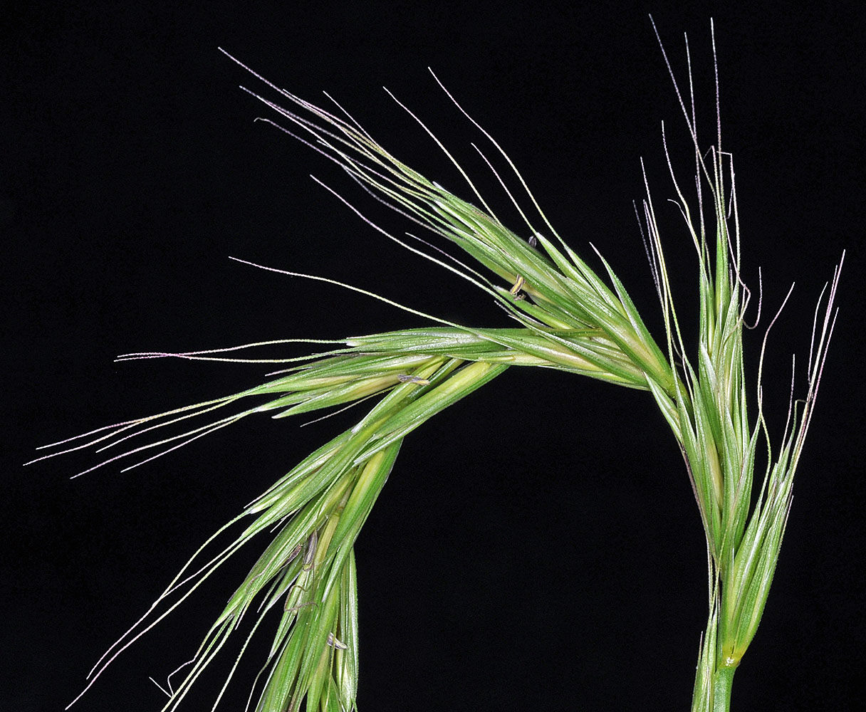
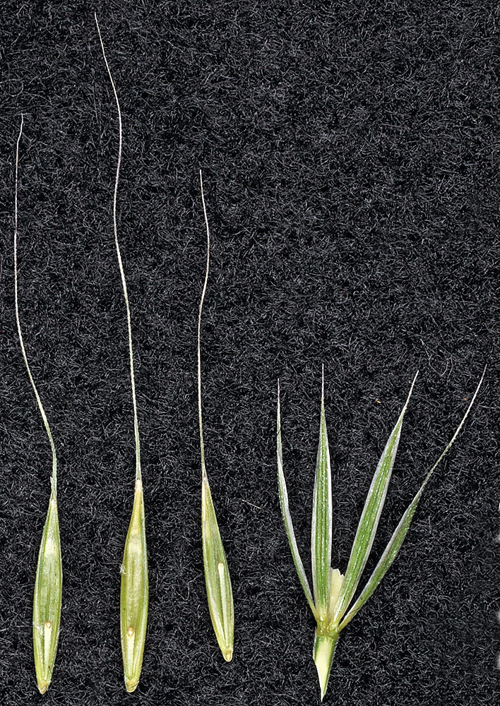
along Sherman Creek, off Hwy 20, 9.6 mi. SW of jct. with Hwy 395, W of Kettle Falls, 2395 ft. elev.,
N48.57745 W118.28328, Ferry Co., WASHINGTON, 6/29/2015, © Robert L. Carr |
along Sherman Creek, off Hwy 20, 9.6 mi. SW of jct. with Hwy 395, W of Kettle Falls, 2395 ft. elev.,
N48.57745 W118.28328, Ferry Co., WASHINGTON, 6/29/2015, © Robert L. Carr |