
| Oregon Flora Image Project | |
| Elodea canadensis Rich. | Canadian waterweed - native Hydrocharitaceae |
Click on an image for a larger version. All images © Gerald D. Carr unless otherwise noted.
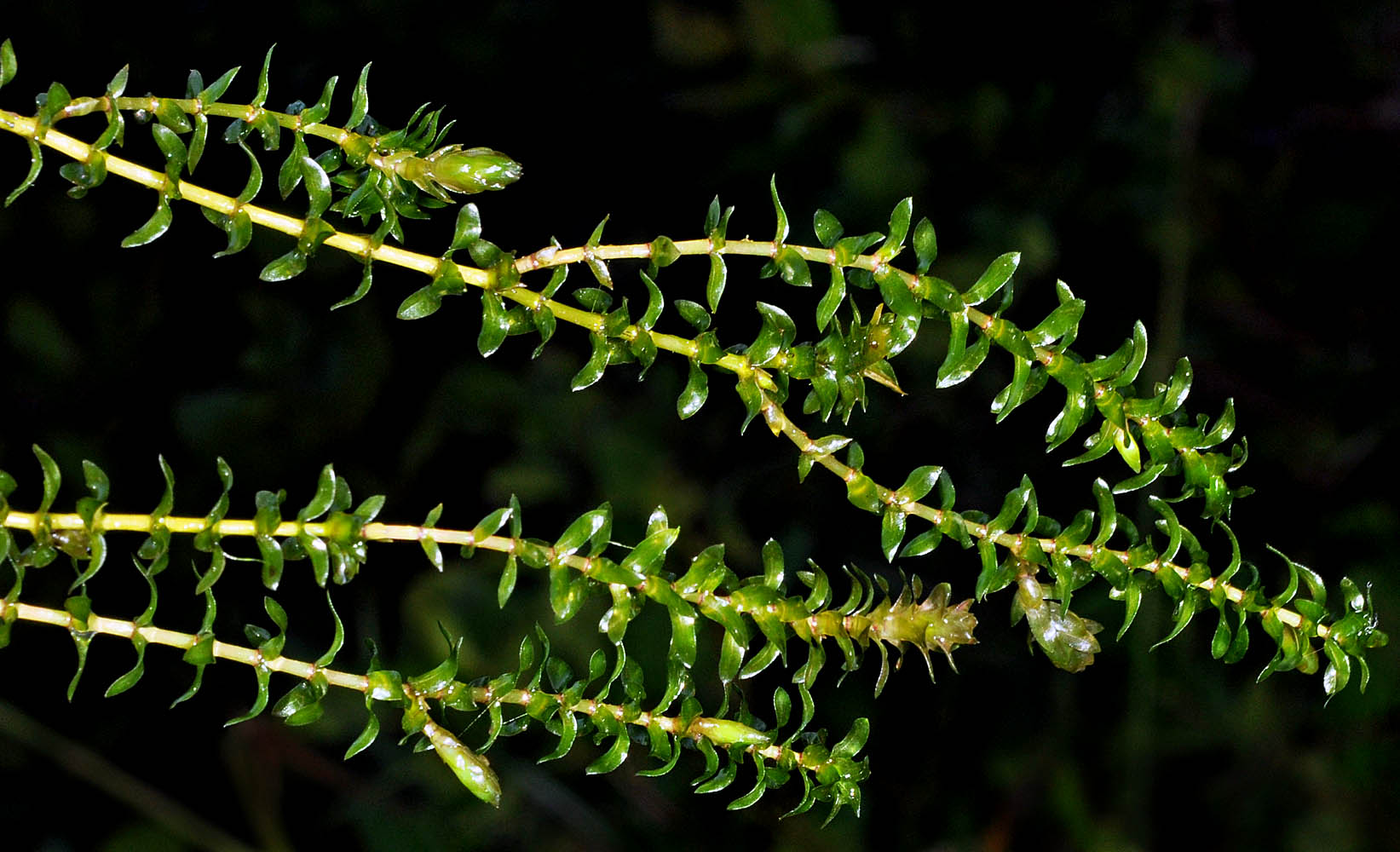
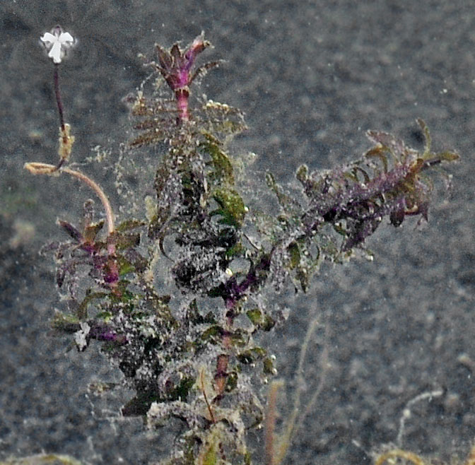
| Tahkenitch Boat Ramp, off Hwy 101, 6.3 mi. N of Gardiner, 30 ft. elev., N43.80396, W124.14764, Douglas Co., OR, 9/22/2010 | Tahkenitch Boat Ramp, off Hwy 101, 6.3 mi. N of Gardiner, 30 ft. elev., N43.80396, W124.14764, Douglas Co., OR, 9/22/2010 | ||
|
|
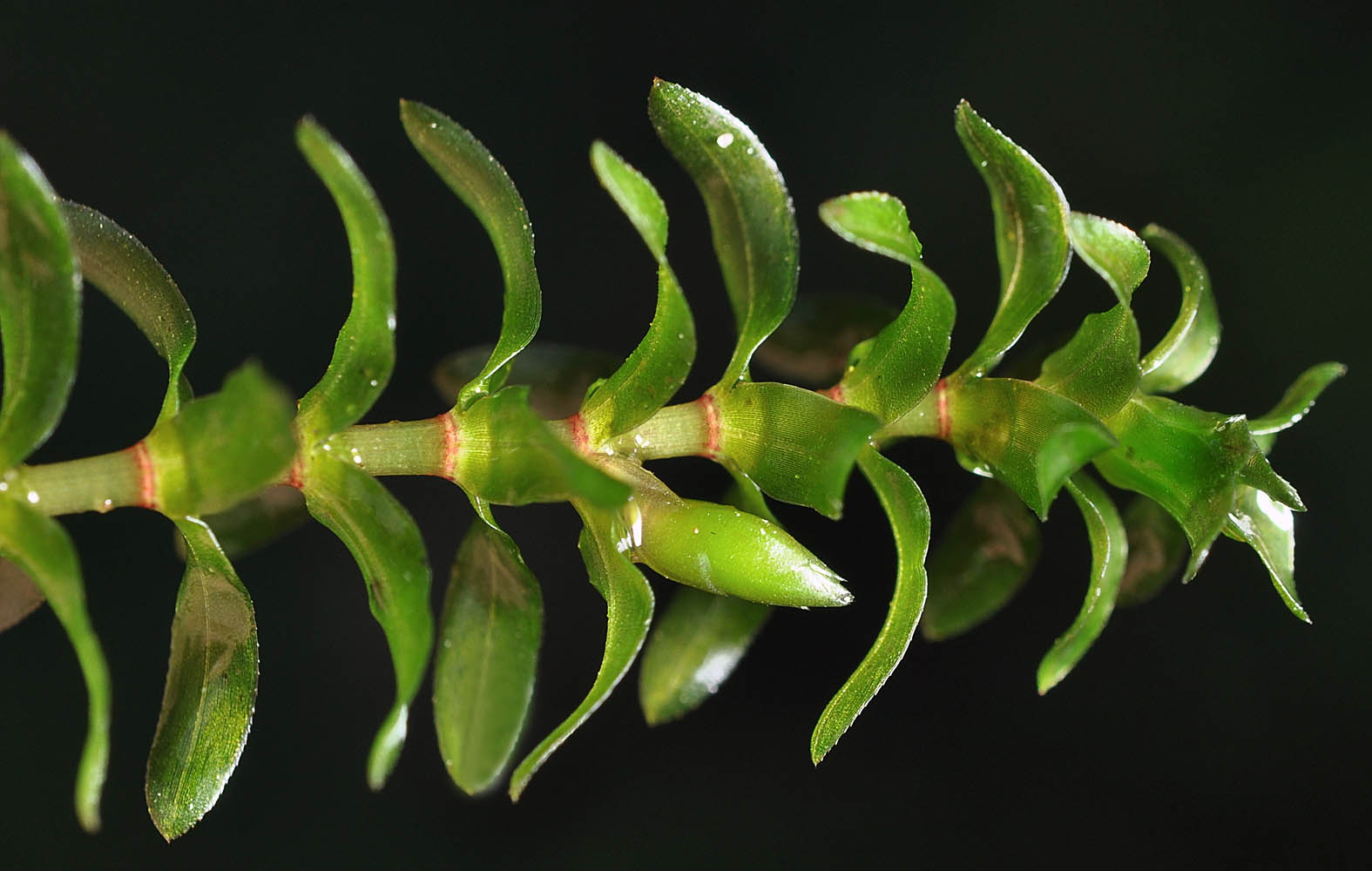
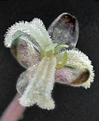
| Tahkenitch Boat Ramp, off Hwy 101, 6.3 mi. N of Gardiner, 30 ft. elev., N43.80396, W124.14764, Douglas Co., OR, 9/22/2010 | Tahkenitch Boat Ramp, off Hwy 101, 6.3 mi. N of Gardiner, 30 ft. elev., N43.80396, W124.14764, Douglas Co., OR, 9/22/2010 | ||
 |
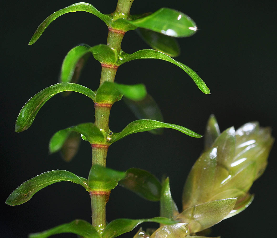 |
| NE Siltcoos Lake, Boat dock at Siltcoos Station, near Siltcoos, 12 ft. elev., N43.88996, W124.06458, Lane Co., OR, 8/4/2017 | NE Siltcoos Lake, Boat dock at Siltcoos Station, near Siltcoos, 12 ft. elev., N43.88996, W124.06458, Lane Co., OR, 8/4/2017 | ||
 |
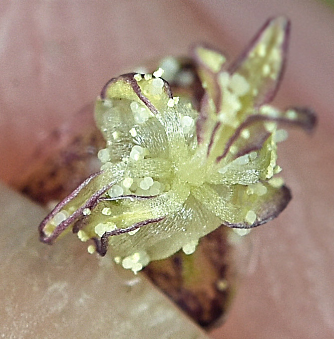 |
| Along Sand Dunes Rd., ca. 1.6 mi S of Sage Rd., near SW shore of Moses Lake, 1045 ft. elev., N47.08007, W119.33601, Grant Co., WASHINGTON, 8/17/2012, © Robert L. Carr | Along Sand Dunes Rd., ca. 1.6 mi S of Sage Rd., near SW shore of Moses Lake, 1045 ft. elev., N47.08007, W119.33601, Grant Co., WASHINGTON, 8/17/2012, © Robert L. Carr | ||
 |
 |