| Margin of pond near Willamette River, 2.8 mi. NNE of Hwy. 34 via Riverside Drive, then 1.3 mi. W on unnamed dirt rd., 190 ft. elev.,
N44.59857, W123.19465, Linn Co., OR, 7/25/2014 |
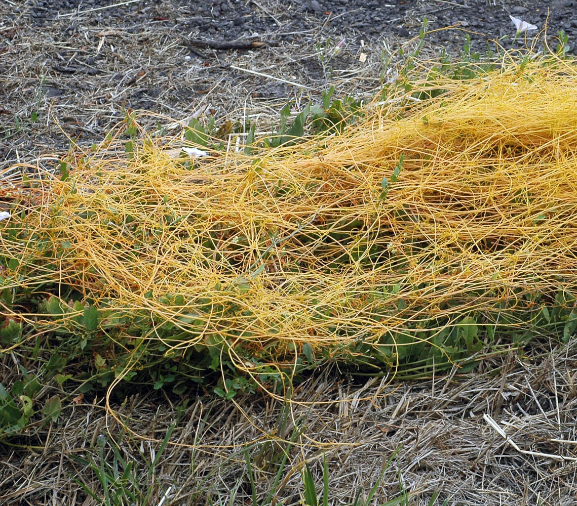
Margin of pond near Willamette River, 2.8 mi. NNE of Hwy. 34 via Riverside Drive, then 1.3 mi. W on unnamed dirt rd., 190 ft. elev.,
N44.59857, W123.19465, Linn Co., OR, 7/25/2014 |
Margin of pond near Willamette River, 2.8 mi. NNE of Hwy. 34 via Riverside Drive, then 1.3 mi. W on unnamed dirt rd., 190 ft. elev.,
N44.59857, W123.19465, Linn Co., OR, 7/25/2014 |