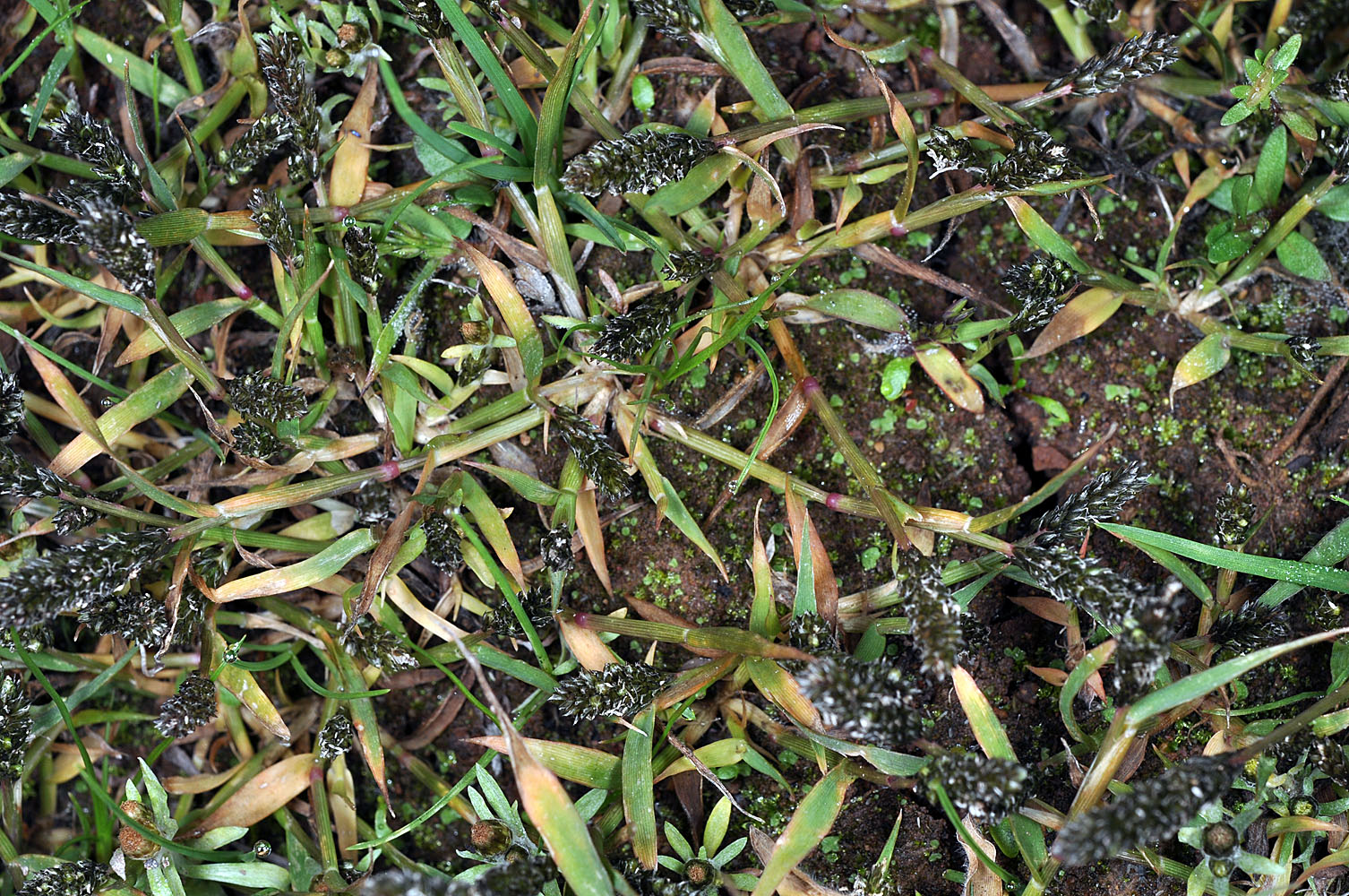
| Just S of Hwy 58 at Rolling Riffle Creek flood zone, 2.5 mi. SE of Minnow,
N43.87709, W122.70370, 948 ft. elev., Lane Co., OR, 10/24/2011 |
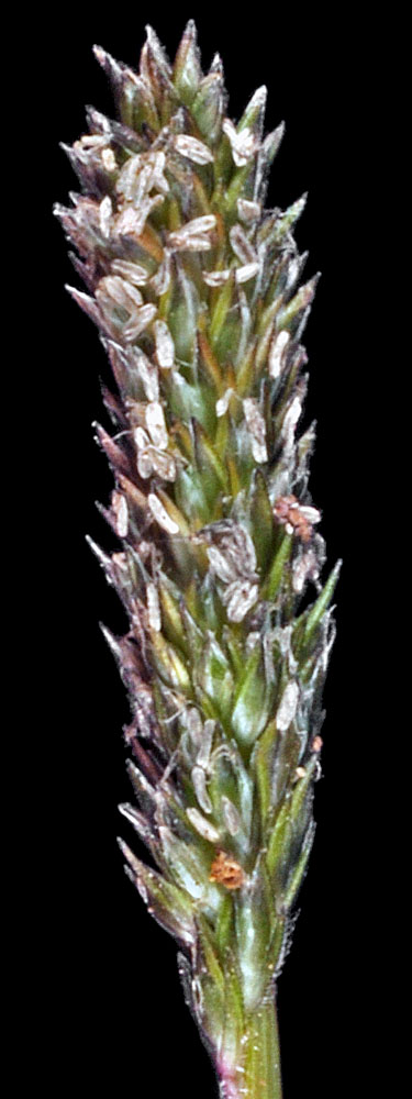
Just S of Hwy 58 at Rolling Riffle Creek flood zone, 2.5 mi. SE of Minnow,
N43.87709, W122.70370, 948 ft. elev., Lane Co., OR, 10/24/2011 |
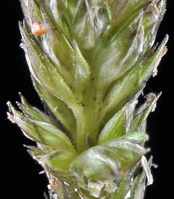
Just S of Hwy 58 at Rolling Riffle Creek flood zone, 2.5 mi. SE of Minnow,
N43.87709, W122.70370, 948 ft. elev., Lane Co., OR, 10/24/2011 |
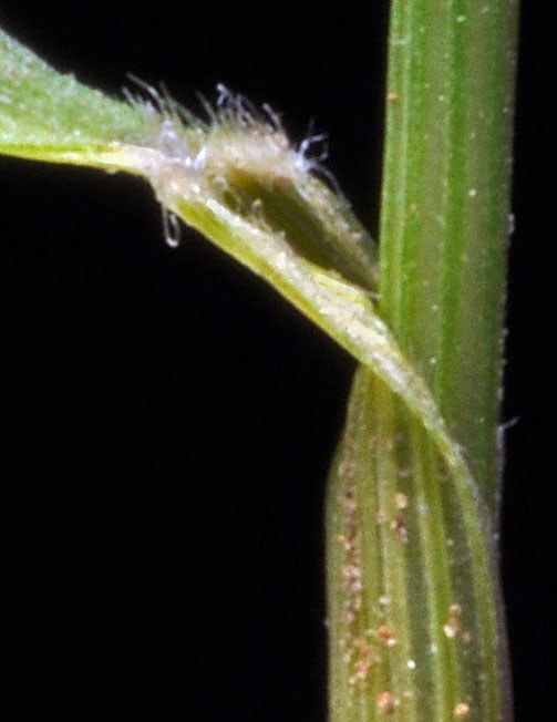
Just S of Hwy 58 at Rolling Riffle Creek flood zone, 2.5 mi. SE of Minnow,
N43.87709, W122.70370, 948 ft. elev., Lane Co., OR, 10/24/2011 |