
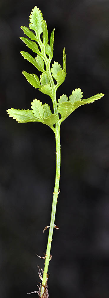

| Oregon Flora Image Project | |
| Cryptogramma acrostichoides R. Br. | American parsley fern - native Pteridaceae |
Click on an image for a larger version. All images © Gerald D. Carr unless otherwise noted.
| NFD Rd. 835, 0.4 mi. N of Hwy 20, W side of Lost Lake, 4000 ft. elev., N44.43295, W121.90970, Linn Co., OR, 6/7/2010 | NFD Rd. 835, 0.4 mi. N of Hwy 20, W side of Lost Lake, 4000 ft. elev., N44.43295, W121.90970, Linn Co., OR, 6/7/2010 | NFD Rd. 835, 0.4 mi. N of Hwy 20, W side of Lost Lake, 4000 ft. elev., N44.43295, W121.90970, Linn Co., OR, 6/7/2010 |
|
|
|
| Horse Rock Ridge, N-facing cliffs, 0.6 air mi. NW of trailhead, 2450 ft. elev., N44.29871, W122.87523, Linn Co., OR, 6/8/2010 | Horse Rock Ridge, N-facing cliffs, 0.6 air mi. NW of trailhead, 2450 ft. elev., N44.29871, W122.87523, Linn Co., OR, 6/8/2010 | Horse Rock Ridge, N-facing cliffs, 0.6 air mi. NW of trailhead, 2450 ft. elev., N44.29871, W122.87523, Linn Co., OR, 6/8/2010 |
 |
 |
 |
| Along Hwy 129, 0.7 mi. SW of W border of Field Springs State Park, 3480 ft. elev., N46.08006, W117.18690, Pend Oreille Co., WASHINGTON, 6/20/2010 (© Robert L. Carr) | Along Hwy 129, 0.7 mi. SW of W border of Field Springs State Park, 3480 ft. elev., N46.08006, W117.18690, Pend Oreille Co., WASHINGTON, 6/20/2010 (© Robert L. Carr) | ||
 |
 |