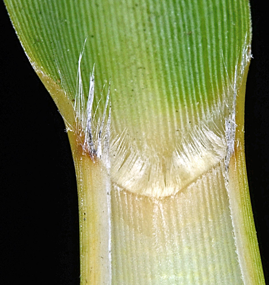
| Hunter Creek Loop, just E of jct. with Hwy 101, 0.6 mi. S of Hwy 101 crossing of Hunter Creek, S of Gold Beach, 110 ft. elev.,
N42.38041, W124.42015, Curry Co., OR, 8/8/2014 |
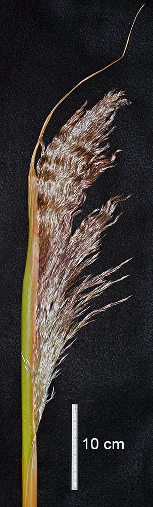
Hunter Creek Loop, just E of jct. with Hwy 101, 0.6 mi. S of Hwy 101 crossing of Hunter Creek, S of Gold Beach, 110 ft. elev.,
N42.38041, W124.42015, Curry Co., OR, 8/8/2014 |
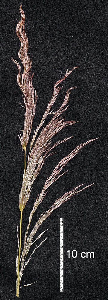
Hunter Creek Loop, just E of jct. with Hwy 101, 0.6 mi. S of Hwy 101 crossing of Hunter Creek, S of Gold Beach, 110 ft. elev.,
N42.38041, W124.42015, Curry Co., OR, 8/8/2014 |
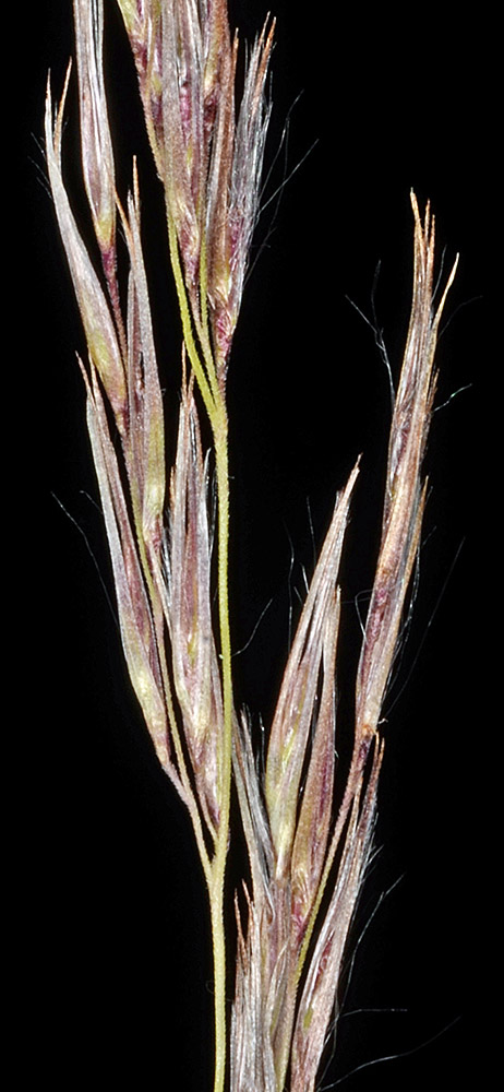
Hunter Creek Loop, just E of jct. with Hwy 101, 0.6 mi. S of Hwy 101 crossing of Hunter Creek, S of Gold Beach, 110 ft. elev.,
N42.38041, W124.42015, Curry Co., OR, 8/8/2014 |
Hunter Creek Loop, just E of jct. with Hwy 101, 0.6 mi. S of Hwy 101 crossing of Hunter Creek, S of Gold Beach, 110 ft. elev.,
N42.38041, W124.42015, Curry Co., OR, 8/8/2014 |