| Oregon Flora Image Project | |
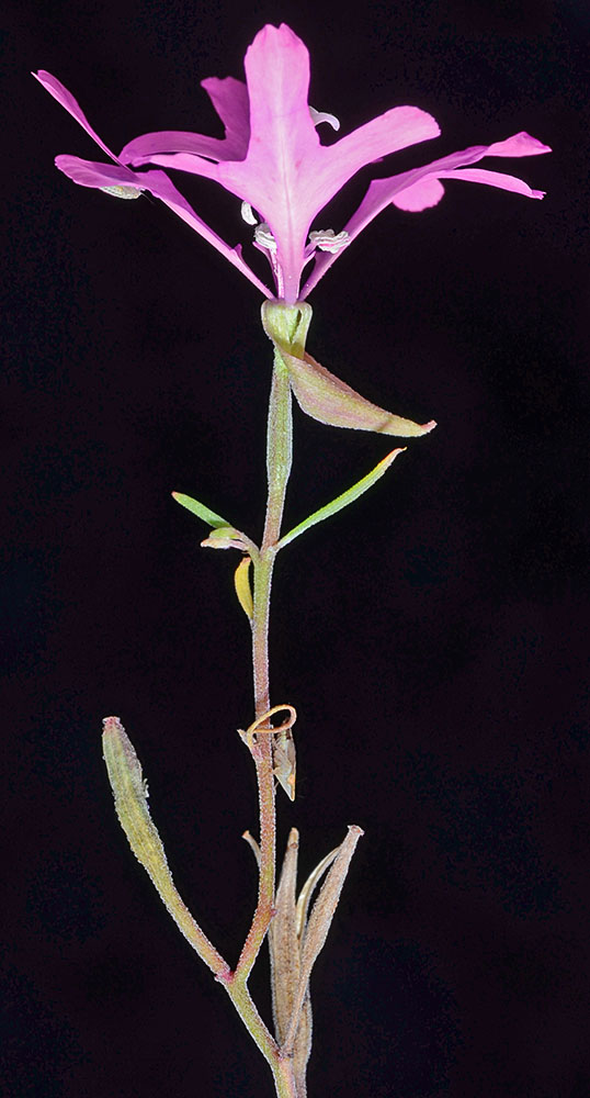
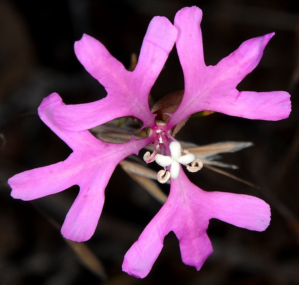
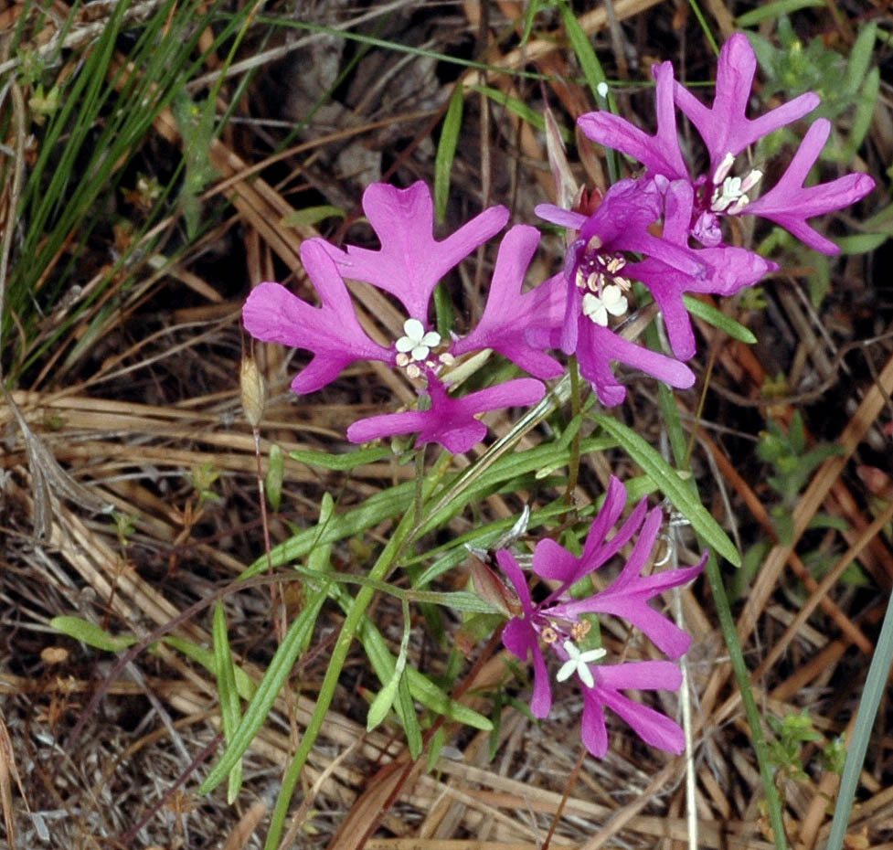
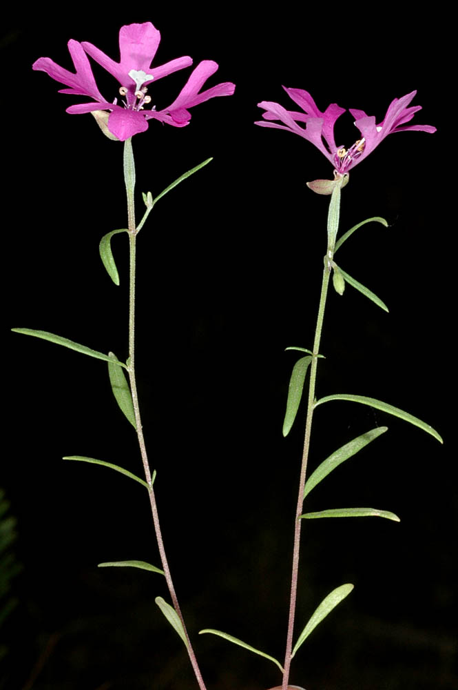
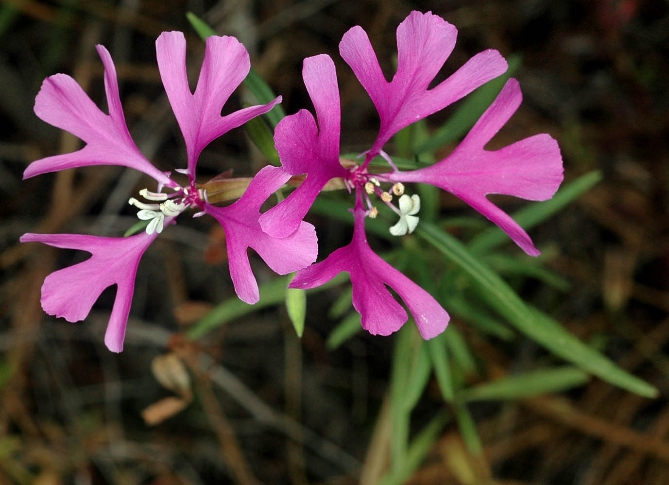
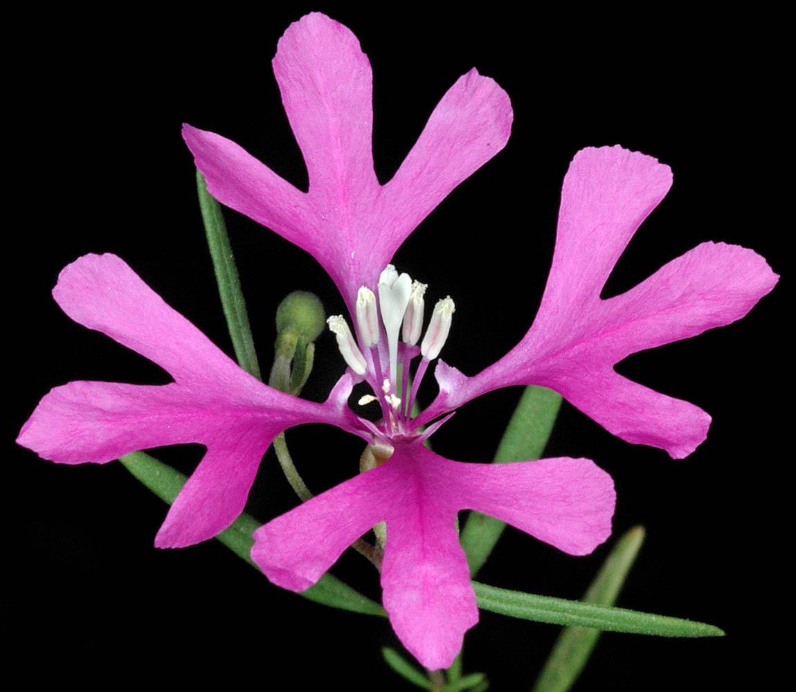
| Clarkia pulchella Purrsh | elkhorns clarkia - native Onagraceae |
Click on an image for a larger version. All images © Gerald D. Carr unless otherwise noted.
| Hwy 380, 0.7 mi. S of jct. with Burma Rd., ca. 13 mi. SE of Prineville, 4165 ft. elev., N44.21473, W120.64442, Crook Co., OR, 7/12/2013 | Hwy 380, 0.7 mi. S of jct. with Burma Rd., ca. 13 mi. SE of Prineville, 4165 ft. elev., N44.21473, W120.64442, Crook Co., OR, 7/12/2013 | ||
|
|
| S Ritchey Rd., ca. 1.5 mi. N of Cheney-Tyler Hwy (SR904), between W Cameron & W Baker Rds., Spokane Co., WASHINGTON, 7/3/2008 | S Ritchey Rd., ca. 1.5 mi. N of Cheney-Tyler Hwy (SR904), between W Cameron & W Baker Rds., Spokane Co., WASHINGTON, 7/3/2008 | S Ritchey Rd., ca. 1.5 mi. N of Cheney-Tyler Hwy (SR904), between W Cameron & W Baker Rds., Spokane Co., WASHINGTON, 7/3/2008 |
 |
 |
 |
| S Ritchey Rd., ca. 1.5 mi. N of Cheney-Tyler Hwy (SR904), between W Cameron & W Baker Rds., Spokane Co., WASHINGTON, 7/3/2008 | S Ritchey Rd., ca. 1.5 mi. N of Cheney-Tyler Hwy (SR904), between W Cameron & W Baker Rds., Spokane Co., WASHINGTON, 7/3/2008 | ||
 |
 |