


| Oregon Flora Image Project | |
| Cerastium fontanum Baumg. ssp. vulgare (Hartm.) Greuter & Burdet | common mouse-ear chickweed - exotic, naturalized Caryophyllaceae |
Click on an image for a larger version. All images © Gerald D. Carr unless otherwise noted.
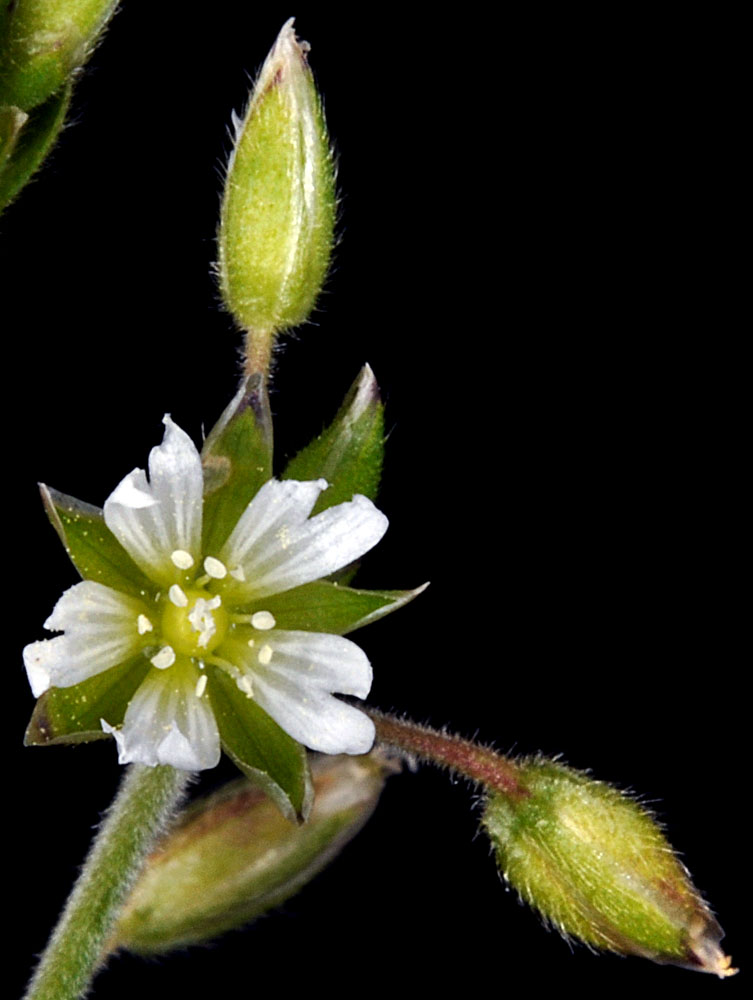
| NW Ocean View Drive at jct. with lane to Agate Beach Inn, near parking lot for Agate Beach State Recreation Site, 30 ft. elev., N44.65850, W124.05616, Lincoln Co., OR, 4/22/2012 | NW Ocean View Drive at jct. with lane to Agate Beach Inn, near parking lot for Agate Beach State Recreation Site, 30 ft. elev., N44.65850, W124.05616, Lincoln Co., OR, 4/22/2012 | NW Ocean View Drive at jct. with lane to Agate Beach Inn, near parking lot for Agate Beach State Recreation Site, 30 ft. elev., N44.65850, W124.05616, Lincoln Co., OR, 4/22/2012 | NW Ocean View Drive at jct. with lane to Agate Beach Inn, near parking lot for Agate Beach State Recreation Site, 30 ft. elev., N44.65850, W124.05616, Lincoln Co., OR, 4/22/2012 |
|
|
|
|
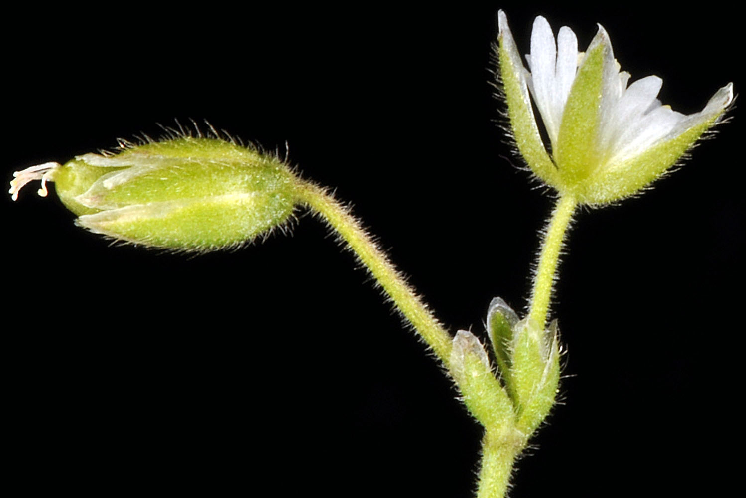
| NW Ocean View Drive at jct. with lane to Agate Beach Inn, near parking lot for Agate Beach State Recreation Site, 30 ft. elev., N44.65850, W124.05616, Lincoln Co., OR, 4/22/2012 | just off Graves Mt. Rd., ca. 1 mi. W of Graves Mt., ca. 15 air mi. W of Kettle Falls, 4800 ft. elev., N48.63984, W118.38227, Ferry Co., WASHINGTON, 6/25/2018, © Robert L. Carr | just off Graves Mt. Rd., ca. 1 mi. W of Graves Mt., ca. 15 air mi. W of Kettle Falls, 4800 ft. elev., N48.63984, W118.38227, Ferry Co., WASHINGTON, 6/25/2018, © Robert L. Carr |
 |
 |
 |
| just off Graves Mt. Rd., ca. 1 mi. W of Graves Mt., ca. 15 air mi. W of Kettle Falls, 4800 ft. elev., N48.63984, W118.38227, Ferry Co., WASHINGTON, 6/25/2018, © Robert L. Carr | just off Graves Mt. Rd., ca. 1 mi. W of Graves Mt., ca. 15 air mi. W of Kettle Falls, 4800 ft. elev., N48.63984, W118.38227, Ferry Co., WASHINGTON, 6/25/2018, © Robert L. Carr | just off Graves Mt. Rd., ca. 1 mi. W of Graves Mt., ca. 15 air mi. W of Kettle Falls, 4800 ft. elev., N48.63984, W118.38227, Ferry Co., WASHINGTON, 6/25/2018, © Robert L. Carr |
 |
 |
 |
| just off Graves Mt. Rd., ca. 1 mi. W of Graves Mt., ca. 15 air mi. W of Kettle Falls, 4800 ft. elev., N48.63984, W118.38227, Ferry Co., WASHINGTON, 6/25/2018, © Robert L. Carr | just off Graves Mt. Rd., ca. 1 mi. W of Graves Mt., ca. 15 air mi. W of Kettle Falls, 4800 ft. elev., N48.63984, W118.38227, Ferry Co., WASHINGTON, 6/25/2018, © Robert L. Carr | ||
 |
 |