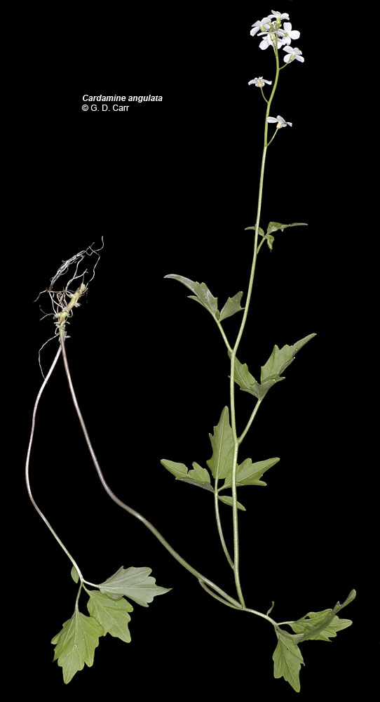
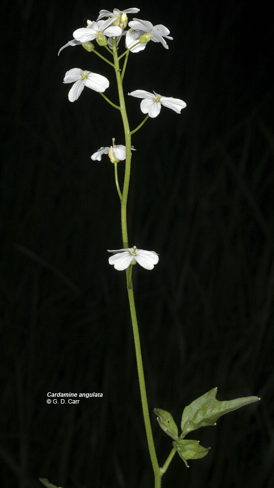
| Woods Cr. Rd., 3.1 mi W of Hwy 20, N44.54644, W123.46760, Benton Co., OR, 5/6/2007 | Woods Cr. Rd., 3.1 mi W of Hwy 20, N44.54644, W123.46760, Benton Co., OR, 5/6/2007 | ca. 8 mi. SE of Alsea, W of Alsea Falls (South Fork Rd.), Benton Co., OR, 5/13/2006 | ca. 8 mi. SE of Alsea, W of Alsea Falls (South Fork Rd.), Benton Co., OR, 5/13/2006 |
 |
 |
 |
 |


