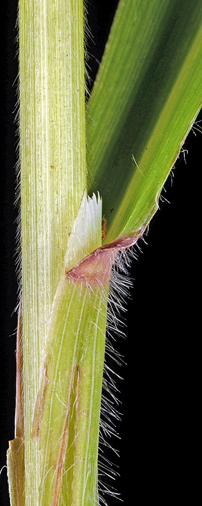
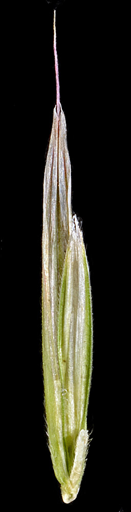
| Prairie Mt. summit ridge, off spur Rd. 7-1, 6.8 mi. SE of jct. with SR501 via Rd. 15-7-7/Prairie Mt. Rd., S of
Alsea, 3366 ft. elev., N44.27955, W123.59023, Lane Co., OR, 6/29/2015 [R. Halse
9506] |
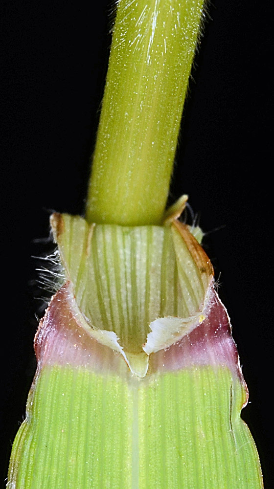
Prairie Mt. summit ridge, off spur Rd. 7-1, 6.8 mi. SE of jct. with SR501 via Rd. 15-7-7/Prairie Mt. Rd., S of
Alsea, 3366 ft. elev., N44.27955, W123.59023, Lane Co., OR, 6/29/2015 [R. Halse
9506] |
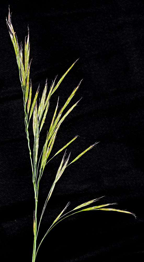
Prairie Mt. summit ridge, off spur Rd. 7-1, 6.8 mi. SE of jct. with SR501 via Rd. 15-7-7/Prairie Mt. Rd., S of
Alsea, 3366 ft. elev., N44.27955, W123.59023, Lane Co., OR, 6/29/2015 [R. Halse
9506] |
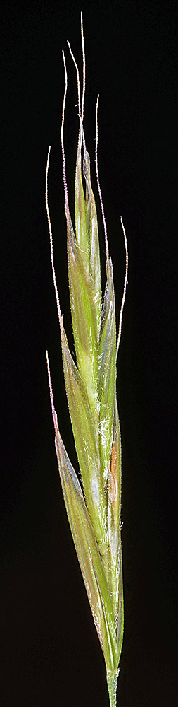
Prairie Mt. summit ridge, off spur Rd. 7-1, 6.8 mi. SE of jct. with SR501 via Rd. 15-7-7/Prairie Mt. Rd., S of
Alsea, 3366 ft. elev., N44.27955, W123.59023, Lane Co., OR, 6/29/2015 [R. Halse
9506] |
Prairie Mt. summit ridge, off spur Rd. 7-1, 6.8 mi. SE of jct. with SR501 via Rd. 15-7-7/Prairie Mt. Rd., S of
Alsea, 3366 ft. elev., N44.27955, W123.59023, Lane Co., OR, 6/29/2015 [R. Halse
9506] |