
| Oregon Flora Image Project | |
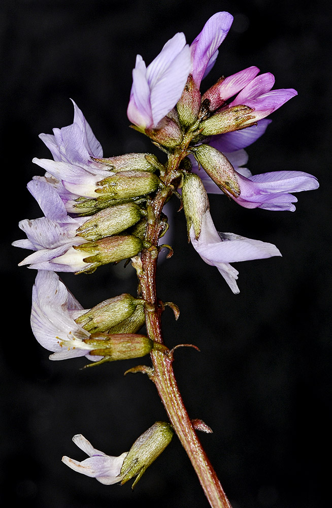
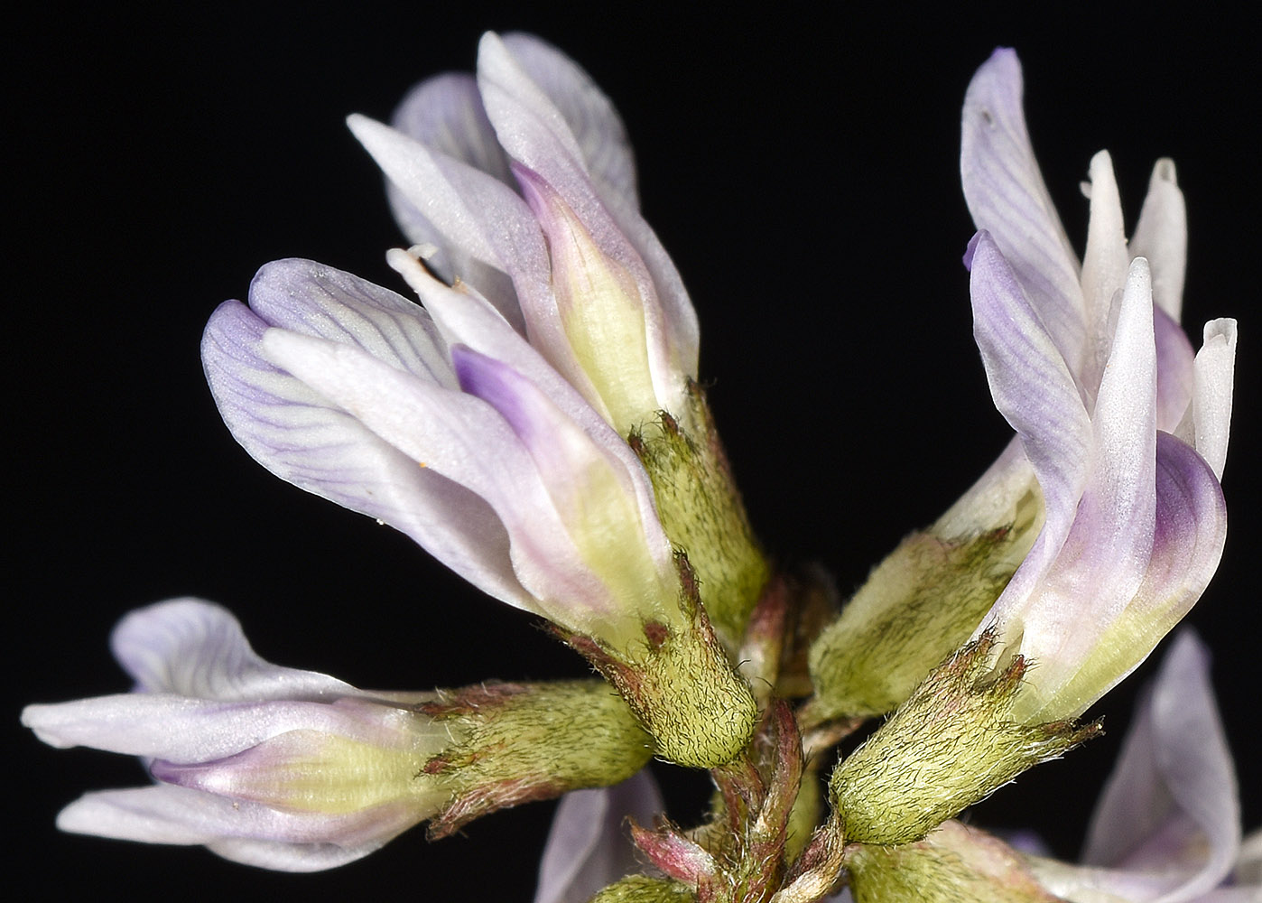
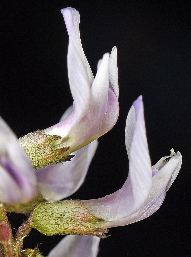
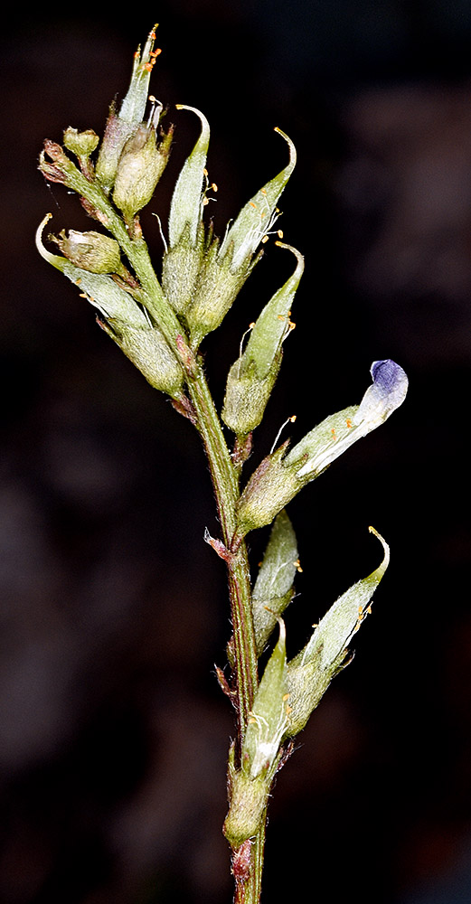
| Astragalus robbinsii (Oakes) A. Gray var. alpiniformis (Rydb.) Barneby | Robbins' milkvetch - native Fabaceae: Faboideae |
Click on an image for a larger version. All images © Gerald D. Carr unless otherwise noted.
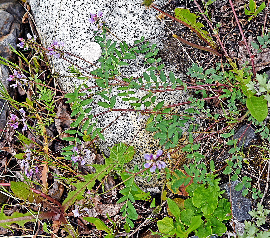
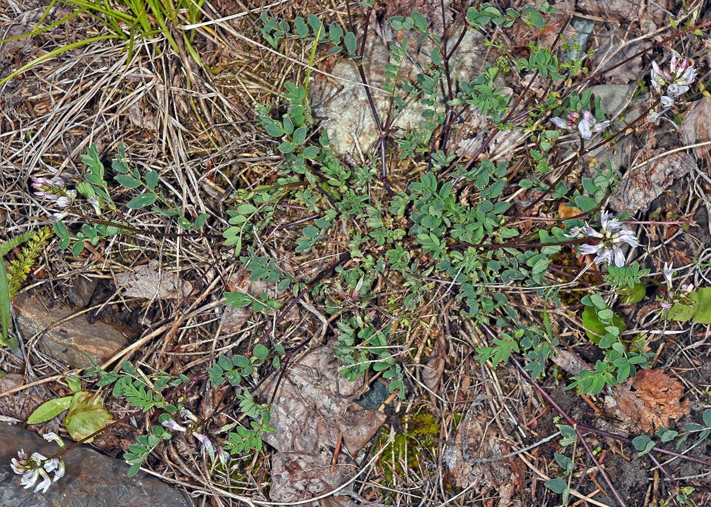
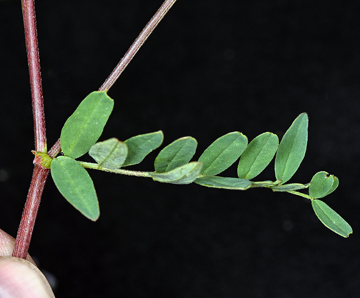
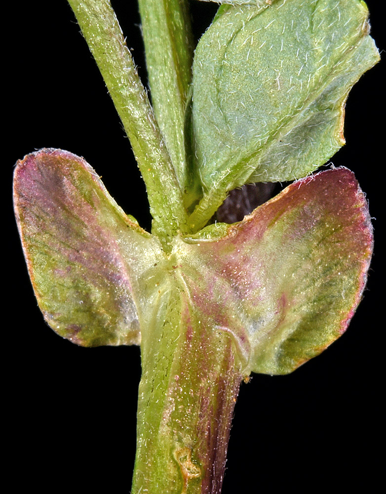
| Outwash WNW of confluence of Falls Creek and Hurricane Creek, ca. 4.9 air mi. SW of Joseph, 5120 ft. elev., N45.30848, W117.30782, Wallowa Co., OR, 6/12/2017, © Robert L.Carr | Gravelly/sandy floodplain of Hurricane Creek, just NE of the trailhead parking area, SW of Joseph, 5000 ft. elev., N45.31158, W117.30601, Wallowa Co., OR, 6/27/2017 | Outwash WNW of confluence of Falls Creek and Hurricane Creek, ca. 4.9 air mi. SW of Joseph, 5120 ft. elev., N45.30848, W117.30782, Wallowa Co., OR, 6/12/2017, © Robert L.Carr |
|
|
|
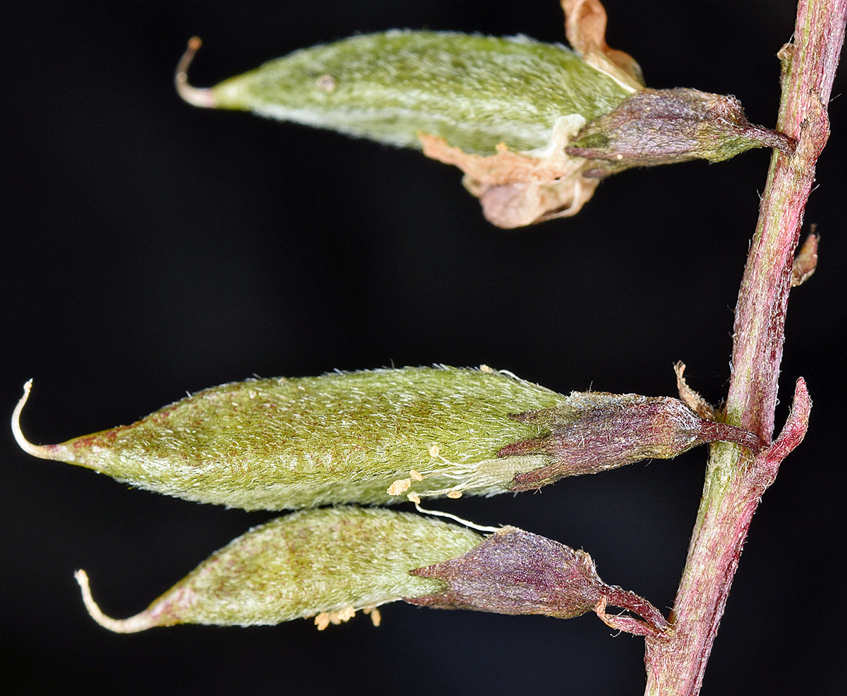
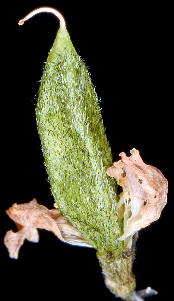
| Outwash WNW of confluence of Falls Creek and Hurricane Creek, ca. 4.9 air mi. SW of Joseph, 5120 ft. elev., N45.30848, W117.30782, Wallowa Co., OR, 6/12/2017, © Robert L.Carr | Outwash WNW of confluence of Falls Creek and Hurricane Creek, ca. 4.9 air mi. SW of Joseph, 5120 ft. elev., N45.30848, W117.30782, Wallowa Co., OR, 6/12/2017, © Robert L.Carr | Outwash WNW of confluence of Falls Creek and Hurricane Creek, ca. 4.9 air mi. SW of Joseph, 5120 ft. elev., N45.30848, W117.30782, Wallowa Co., OR, 6/12/2017, © Robert L.Carr |
 |
 |
 |
| Outwash WNW of confluence of Falls Creek and Hurricane Creek, ca. 4.9 air mi. SW of Joseph, 5120 ft. elev., N45.30848, W117.30782, Wallowa Co., OR, 6/12/2017, © Robert L.Carr | Gravelly/sandy floodplain of Hurricane Creek, just NE of the trailhead parking area, SW of Joseph, 5000 ft. elev., N45.31158, W117.30601, Wallowa Co., OR, 6/27/2017 | Gravelly/sandy floodplain of Hurricane Creek, just NE of the trailhead parking area, SW of Joseph, 5000 ft. elev., N45.31158, W117.30601, Wallowa Co., OR, 6/27/2017 |
 |
 |
 |
| Outwash WNW of confluence of Falls Creek and Hurricane Creek, ca. 4.9 air mi. SW of Joseph, 5120 ft. elev., N45.30848, W117.30782, Wallowa Co., OR, 6/12/2017, © Robert L.Carr | Outwash WNW of confluence of Falls Creek and Hurricane Creek, ca. 4.9 air mi. SW of Joseph, 5120 ft. elev., N45.30848, W117.30782, Wallowa Co., OR, 6/12/2017, © Robert L.Carr | Outwash WNW of confluence of Falls Creek and Hurricane Creek, ca. 4.9 air mi. SW of Joseph, 5120 ft. elev., N45.30848, W117.30782, Wallowa Co., OR, 6/12/2017, © Robert L.Carr | Gravelly/sandy floodplain of Hurricane Creek, just NE of the trailhead parking area, SW of Joseph, 5000 ft. elev., N45.31158, W117.30601, Wallowa Co., OR, 6/27/2017 |
 |
 |

|
 |
| Gravelly/sandy floodplain of Hurricane Creek, just NE of the trailhead parking area, SW of Joseph, 5000 ft. elev., N45.31158, W117.30601, Wallowa Co., OR, 6/27/2017 | Gravelly/sandy floodplain of Hurricane Creek, just NE of the trailhead parking area, SW of Joseph, 5000 ft. elev., N45.31158, W117.30601, Wallowa Co., OR, 6/27/2017 | Gravelly/sandy floodplain of Hurricane Creek, just NE of the trailhead parking area, SW of Joseph, 5000 ft. elev., N45.31158, W117.30601, Wallowa Co., OR, 6/27/2017 |
 |
 |
 |