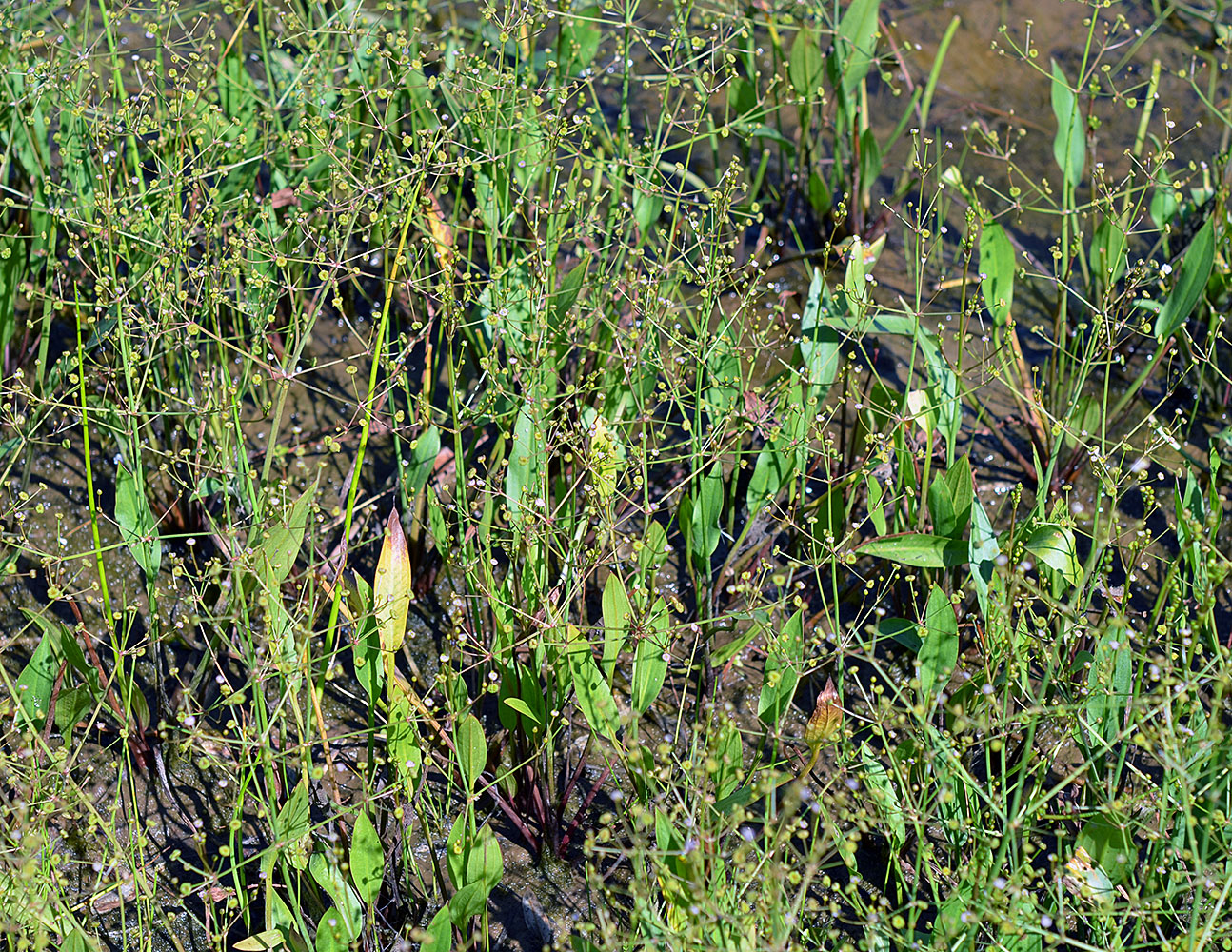
| Quamash Prairie wetland mitigation complex, 5 mi. SW of Eugene, 517 ft. elev.,
N43.95153, W123.00374, Lane Co., OR, 7/30/2014 |
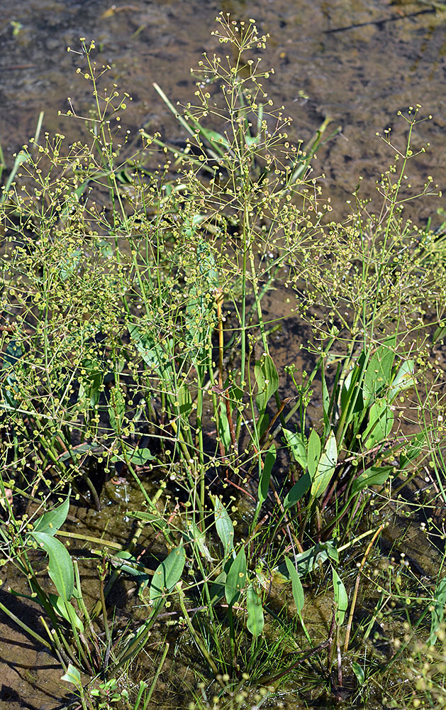
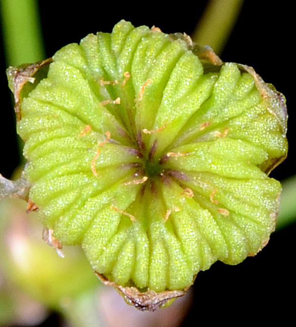
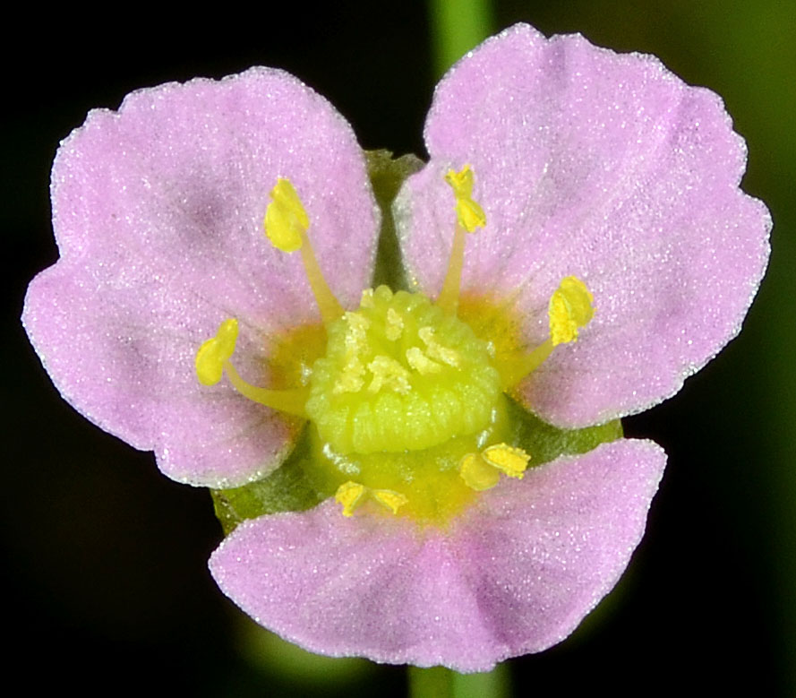
Roadside ditch, Hwy 126, 1.8 mi. E of jct. with Hwy 30 (at Mapleton), 100 ft. elev.,
N44.02669, W123.82634, Lane Co., OR, 8/5/2014 |
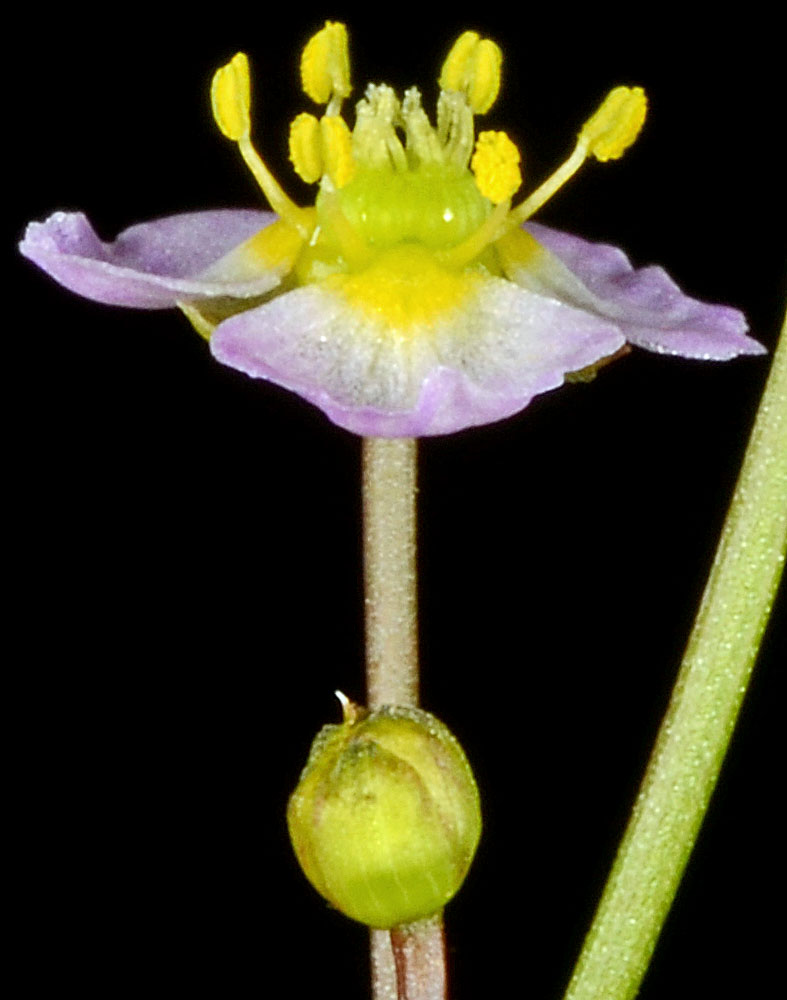
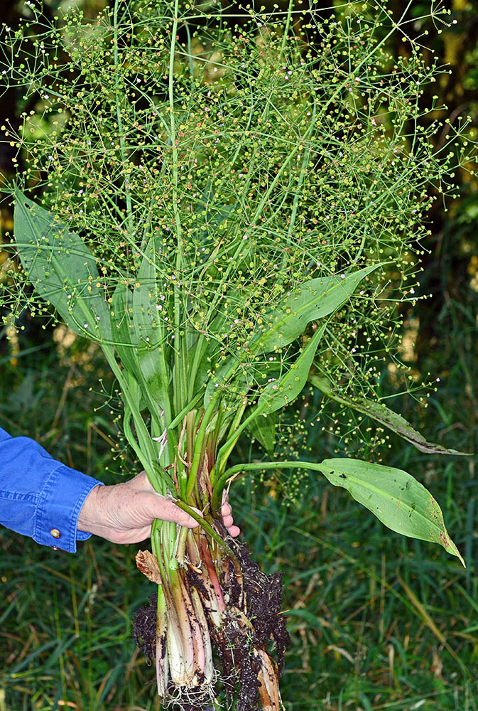
Roadside ditch, Hwy 126, 1.8 mi. E of jct. with Hwy 30 (at Mapleton), 100 ft. elev.,
N44.02669, W123.82634, Lane Co., OR, 8/5/2014 |
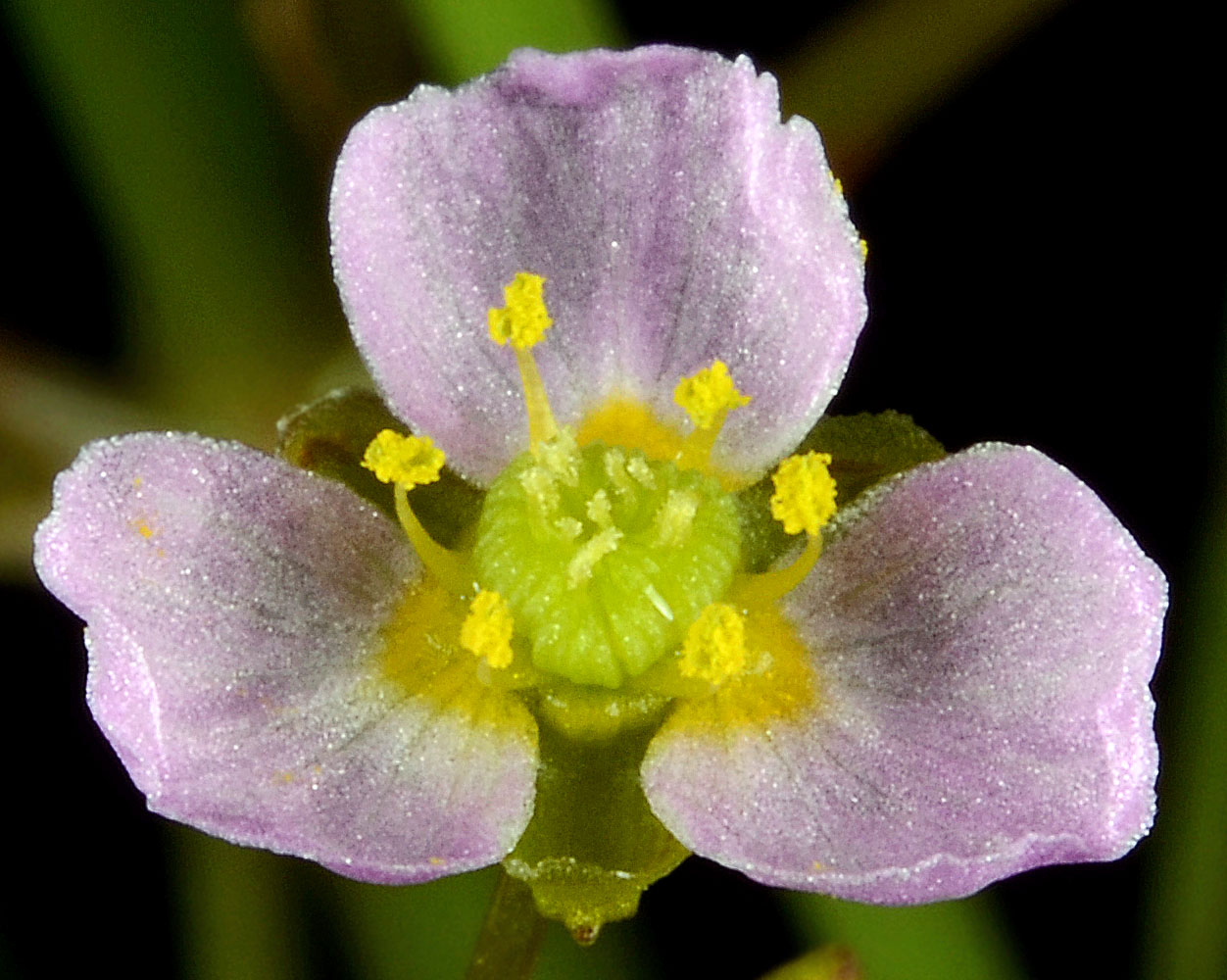
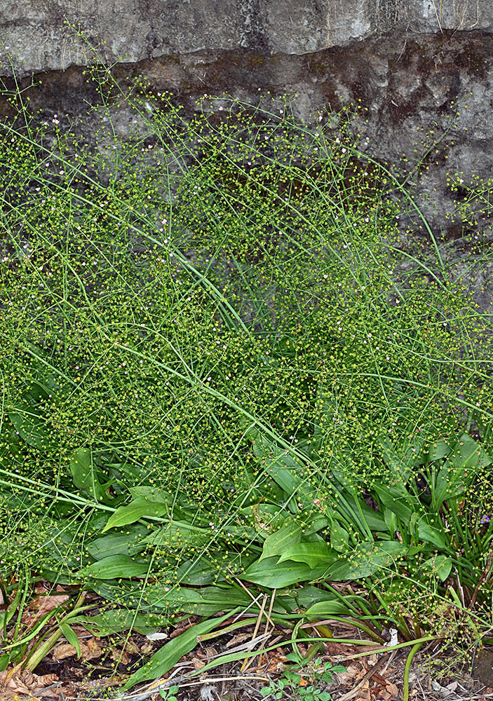
Roadside ditch, Hwy 126, 1.8 mi. E of jct. with Hwy 30 (at Mapleton), 100 ft. elev.,
N44.02669, W123.82634, Lane Co., OR, 8/5/2014 |