

| Oregon Flora Image Project | |
| Agoseris glauca (Pursh) Raf. | [see var.] - native Asteraceae: Cichorieae |
Click on an image for a larger version. All images © Gerald D. Carr unless otherwise noted.
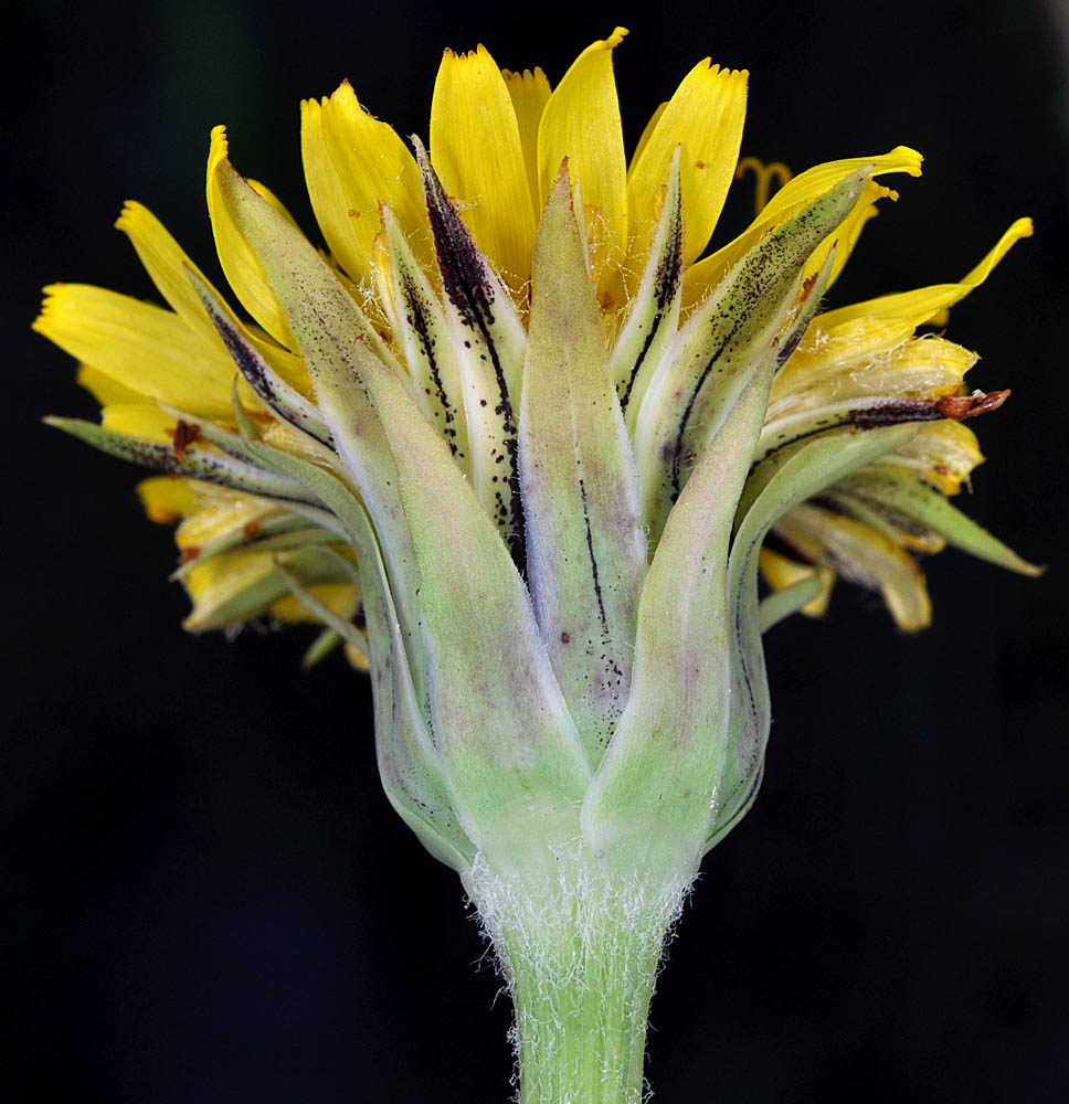
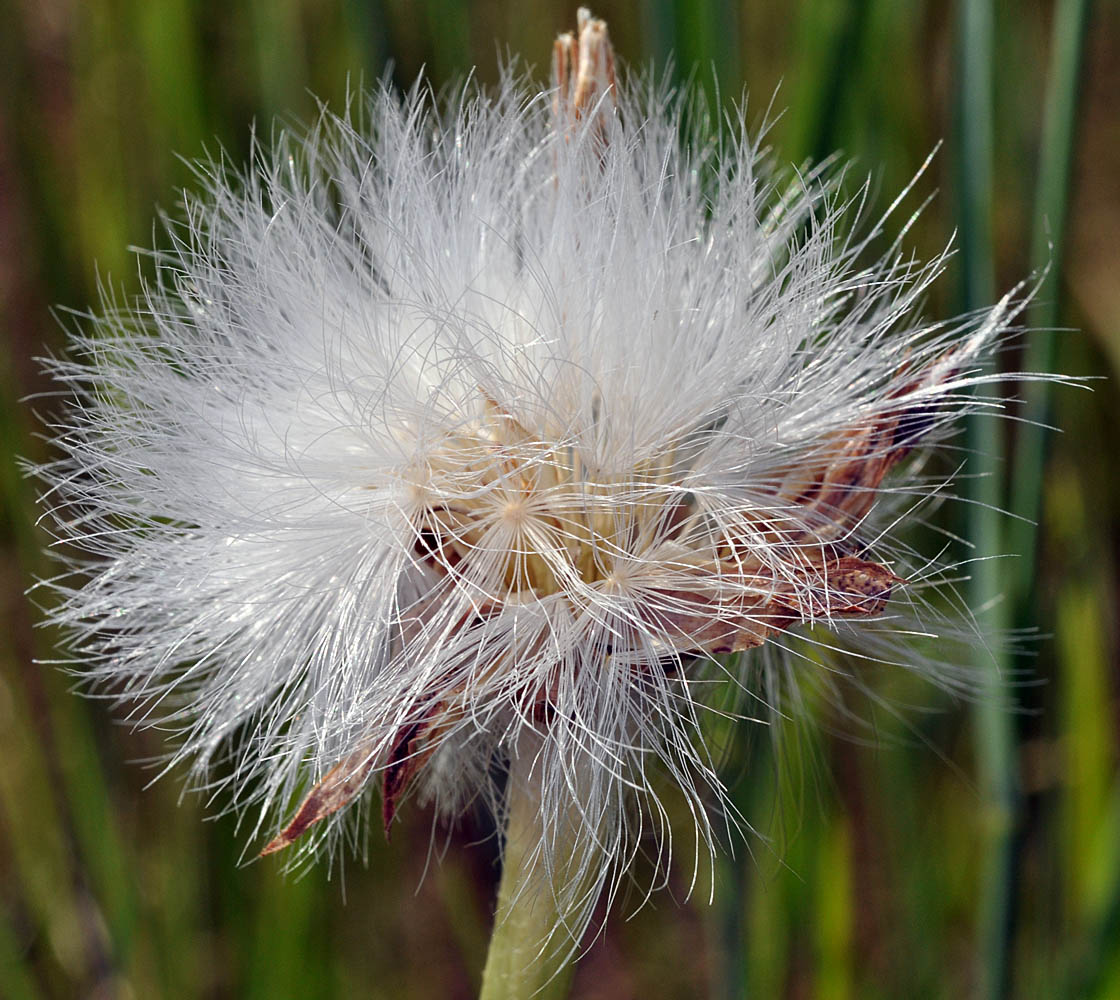
| var. dasycephala (Torrey & A. Gray) Jeps. | shaggyhead agoseris |
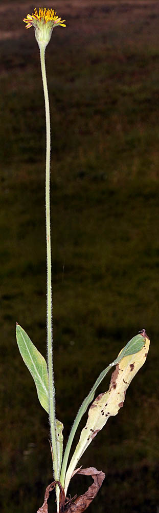
| Zumwalt Rd., 3.4 mi. N of Jack Johnson Rd., 26.7 mi. NE of Enterprise, 4610 ft. elev., N45.60810, W116.98328, Wallowa Co., OR, 7/27/2010 | Zumwalt Rd., 3.4 mi. N of Jack Johnson Rd., 26.7 mi. NE of Enterprise, 4610 ft. elev., N45.60810, W116.98328, Wallowa Co., OR, 7/27/2010 | Zumwalt Rd., 3.4 mi. N of Jack Johnson Rd., 26.7 mi. NE of Enterprise, 4610 ft. elev., N45.60810, W116.98328, Wallowa Co., OR, 7/27/2010 | Zumwalt Rd., 2.6 mi. N of jct with N Pine Rd.., 30.0 mi. NE of Enterprise, 4665 ft. elev., N45.64503, W116.95900, Wallowa Co., OR, 7/27/2010 |
|
|
|
|
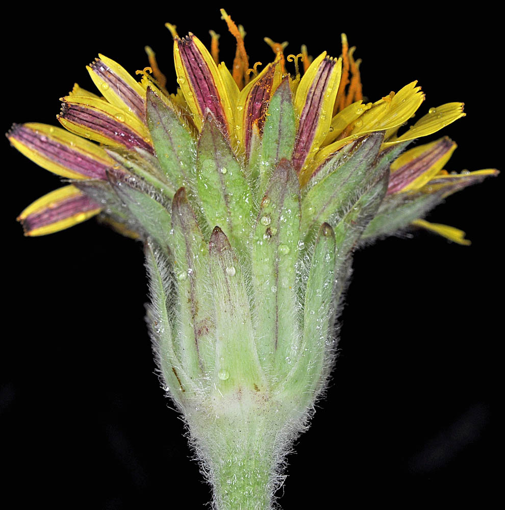
| Zumwalt Rd., 2.6 mi. N of jct with N Pine Rd.., 30.0 mi. NE of Enterprise, 4665 ft. elev., N45.64503, W116.95900, Wallowa Co., OR, 7/27/2010 | ||
 |
| var. glauca | pale agoseris |
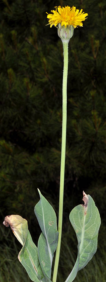
| Vic. intersection of S. Ritchey Rd. and Cheney-Tyler Hwy. (904), ca. 7 mi. SW of Cheney, Spokane Co., WASHINGTON, 7/2/2009 | Vic. intersection of S. Ritchey Rd. and Cheney-Tyler Hwy. (904), ca. 7 mi. SW of Cheney, Spokane Co., WASHINGTON, 7/2/2009 | Vic. intersection of S. Ritchey Rd. and Cheney-Tyler Hwy. (904), ca. 7 mi. SW of Cheney, Spokane Co., WASHINGTON, 7/2/2009 | Vic. intersection of S. Ritchey Rd. and Cheney-Tyler Hwy. (904), ca. 7 mi. SW of Cheney, Spokane Co., WASHINGTON, 7/2/2009 |
 |
 |
 |
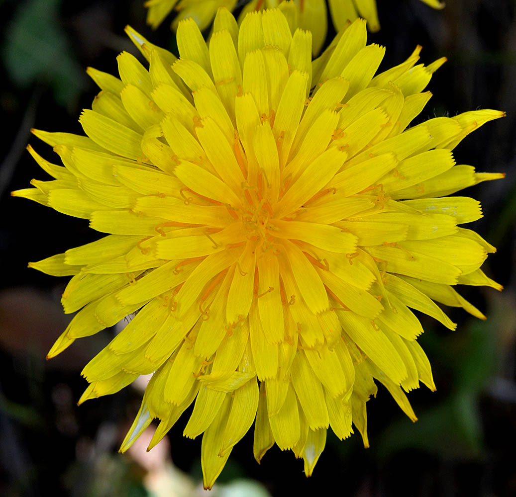 |
| Vic. intersection of S. Ritchey Rd. and Cheney-Tyler Hwy. (904), ca. 7 mi. SW of Cheney, Spokane Co., WASHINGTON, 7/2/2009 | Vic. intersection of S. Ritchey Rd. and Cheney-Tyler Hwy. (904), ca. 7 mi. SW of Cheney, Spokane Co., WASHINGTON, 7/2/2009 | ||
 |
 |