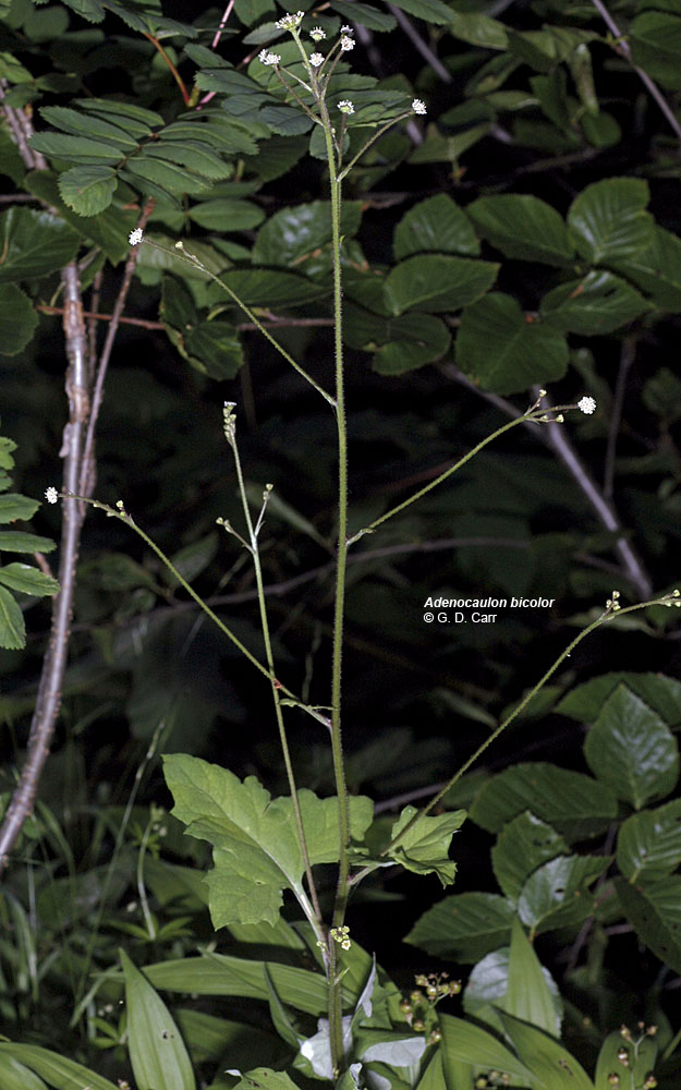
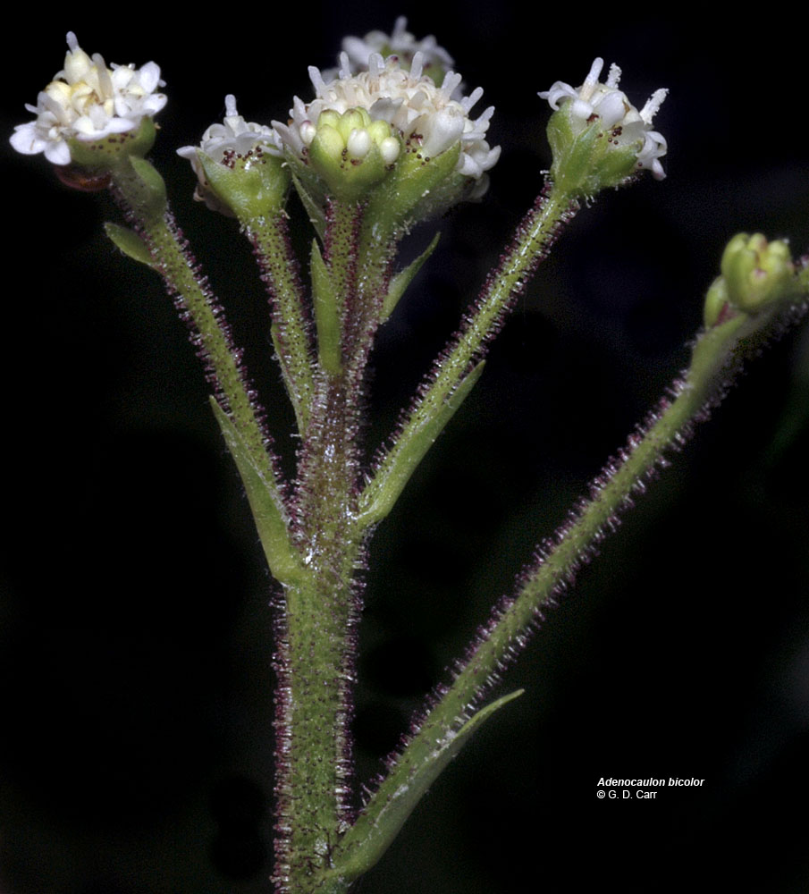
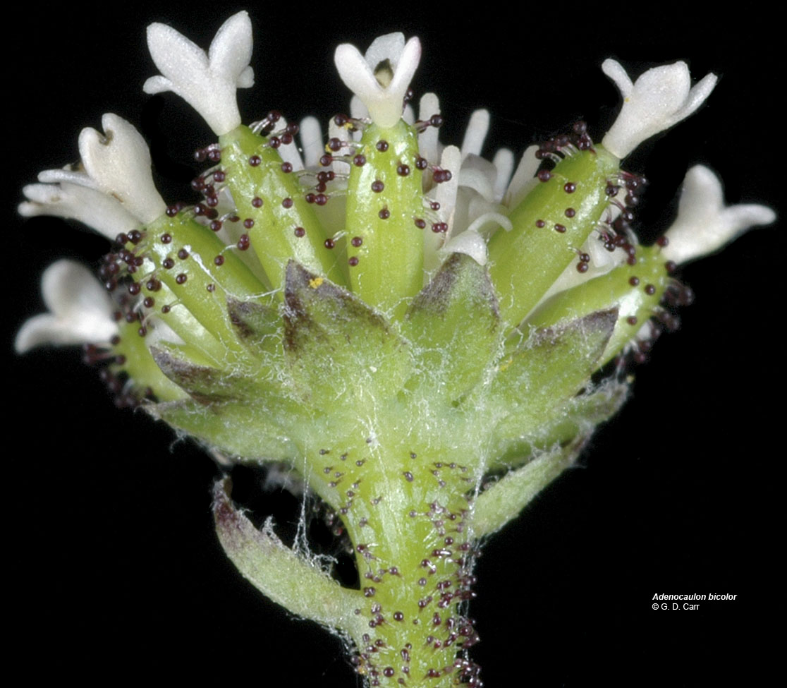
| Hwy. 20, Tombstone Pass, Linn Co., OR, 7/17, 2006 | Hwy. 20, Tombstone Pass, Linn Co., OR, 7/17, 2006 | Hwy. 20, Tombstone Pass, Linn Co., OR, 7/17, 2006 |
 |
 |
 |
| Oregon Flora Image Project | |
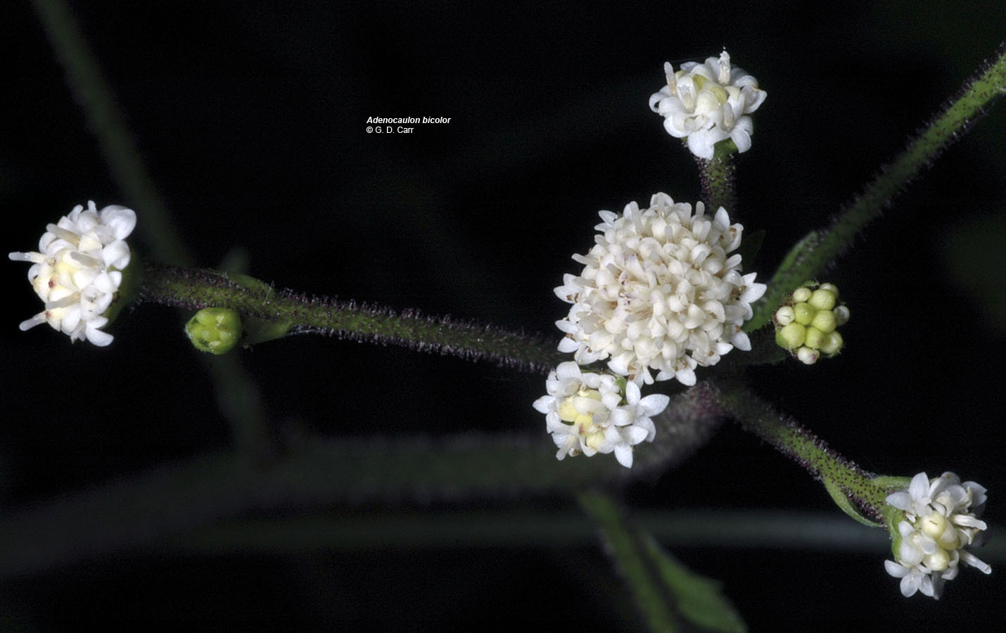
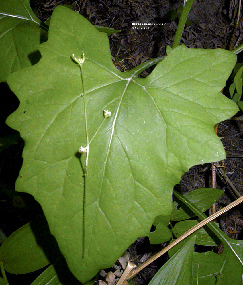
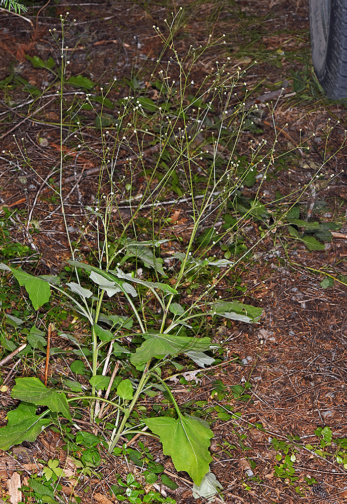
| Adenocaulon bicolor Hook. | trail-plant - native Asteraceae: Mutisieae |
Click on an image for a larger version. All images © Gerald D. Carr unless otherwise noted.
| Hwy. 20, Tombstone Pass, Linn Co., OR, 7/17, 2006 | Hwy. 20, Tombstone Pass, Linn Co., OR, 7/17, 2006 | Hwy. 20, Tombstone Pass, Linn Co., OR, 7/17, 2006 |
|
|
|
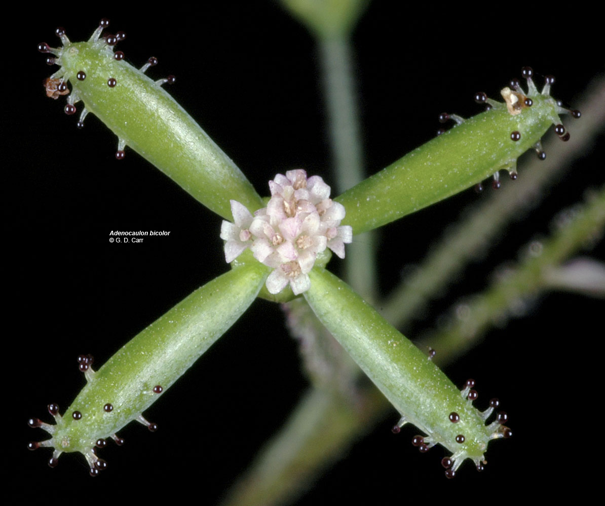
| Hwy. 20, vic. Hackleman Old Growth Tr., Linn Co., OR, 7/27/2003 | Hwy. 20, Tombstone Pass, Linn Co., OR, 7/17, 2006 | Hwy. 20, Tombstone Pass, Linn Co., OR, 7/17, 2006 |
 |
 |
 |
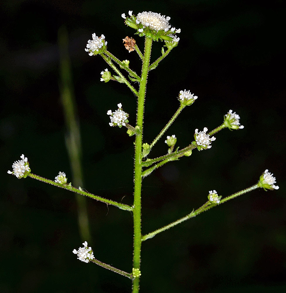
| Prairie Mt. Rd., 7 mi. S of Alsea, Benton Co., OR, 8/20/2006 | Moon Point Trail, ca. 0.4 mi. S of Trailhead on NFD Rd. 439, Warner Mt., ca. 13.8 air mi. SSE of Oakridge, 5155 ft. elev., N43.55279, W122.39322, Lane Co., OR, 8/10/2012 | Moon Point Trail, ca. 0.4 mi. S of Trailhead on NFD Rd. 439, Warner Mt., ca. 13.8 air mi. SSE of Oakridge, 5155 ft. elev., N43.55279, W122.39322, Lane Co., OR, 8/10/2012 |
 |
 |
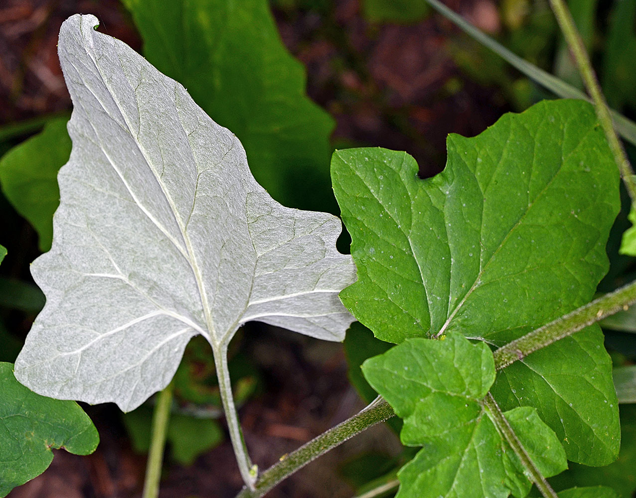 |
| Along FR 2032, 9.7 mi. SE of jct. with Hwy 20, 9.3 air mi. SE of Cascadia, 3832 ft. elev., N44.34895, W122.30472, Linn Co., OR, 8/14/2018 | ||
 |